Strike Valley Overlook
& Lower Calf Creek
![]() version française
version française
Pictures are small in size and grouped in gallery; just a click on it and you'll have all the gallery in bigger size!
Easy navigation with left or right arrow on the keyboard; leaving the gallery photo by Escape.
Do not forget to switch to full screen (F11). Javascript is required.
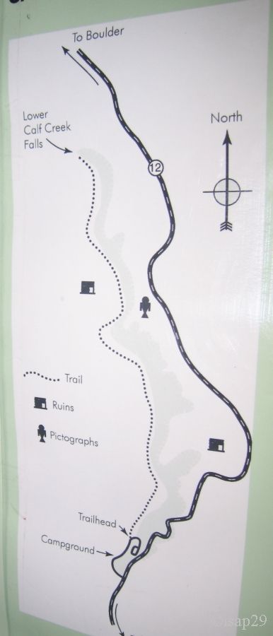
Journey map
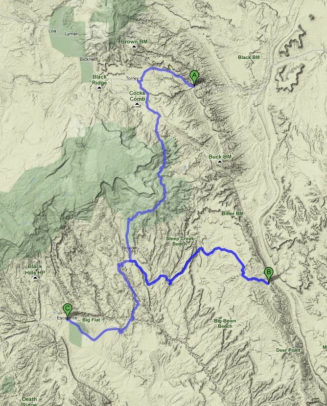
Approximately:
- from Fruita (A) to Strike Valley(B): 81 miles and 2h30 on road
- from Strike Valley(B) to Escalante (C): 60 miles and 2h on road
Wednesday, June 3
Wake up at 6:20 am and 55°F. Bill, camp guard, wanted "to prick" our ticket of payment of the site (but I was awake!). While having
breakfast, I film mules deer which pass very close to us. On the agenda today, Burr Trail Road and Strike Valley Overlook.
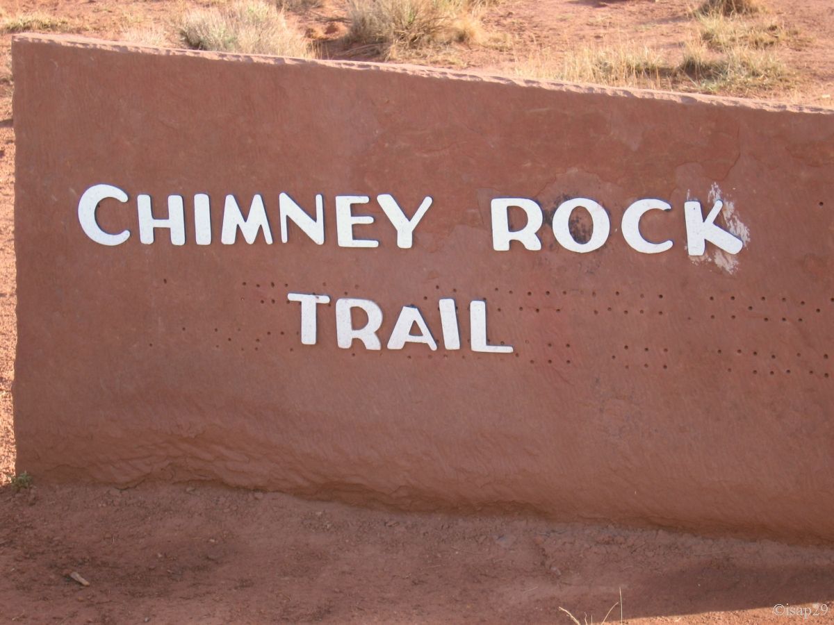
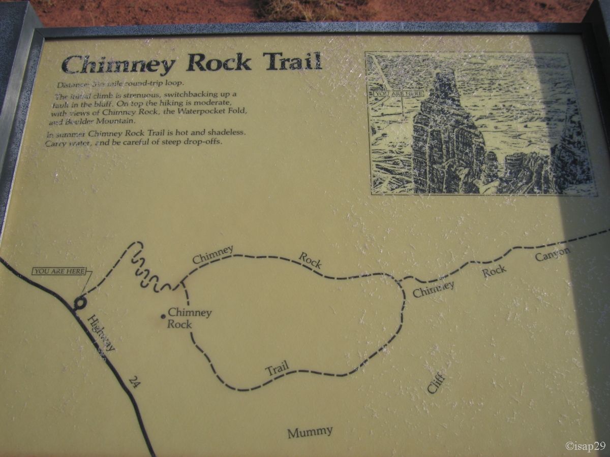
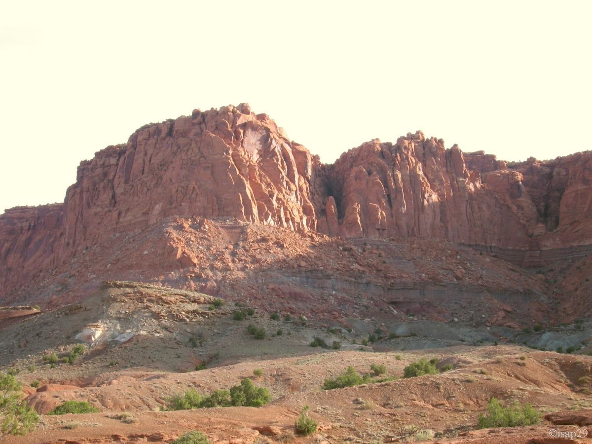
We leave, almost regretfully, this pleasant camp-site around 7:45 am for a simple photo stop at Chimney Rock.
Chimney Rock (6 photos)
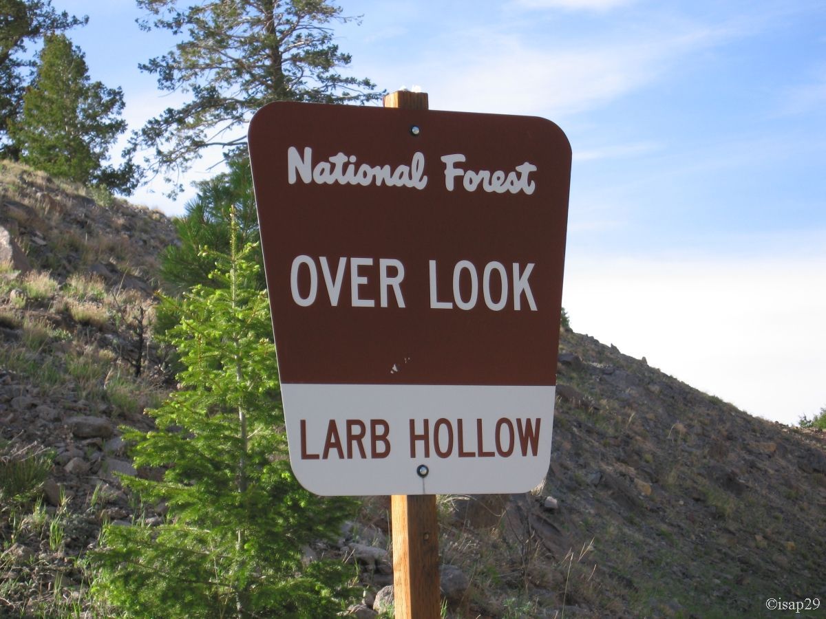
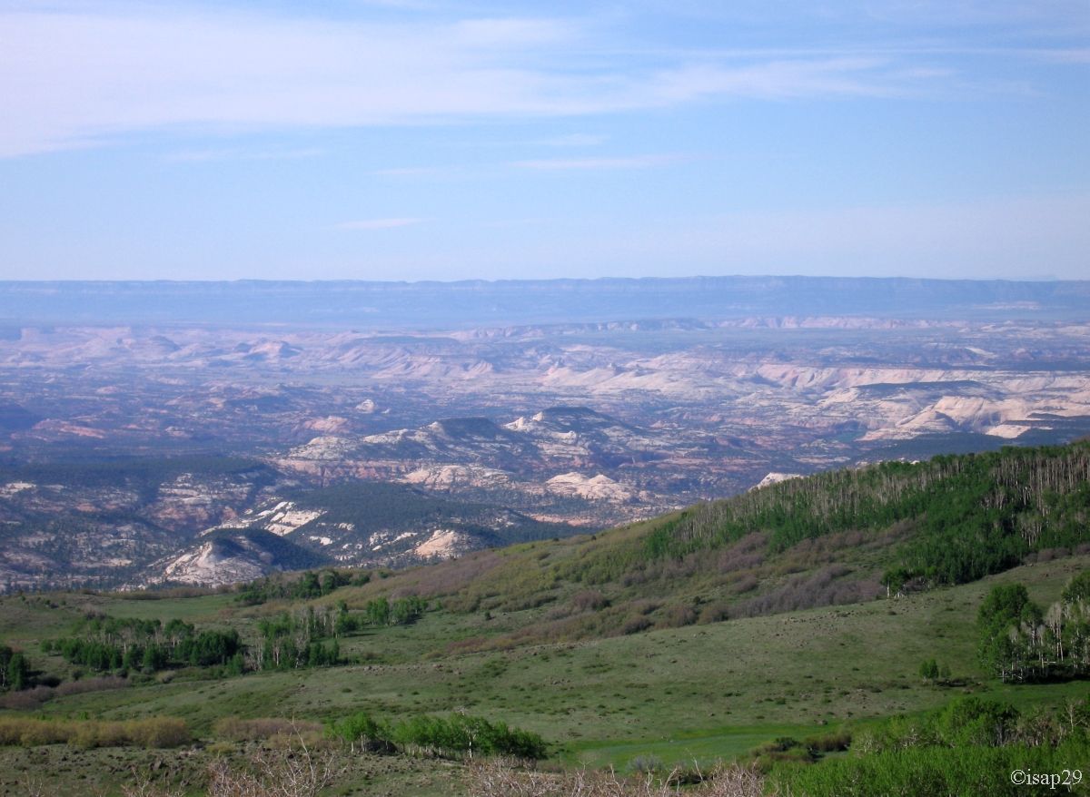
After refueling in Torrey, we take the SB12 and stop at Larb Hollow: nice views, but certainly more photogenic in the afternoon.
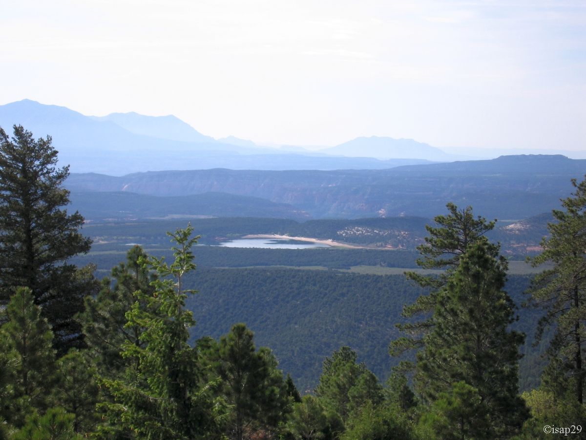
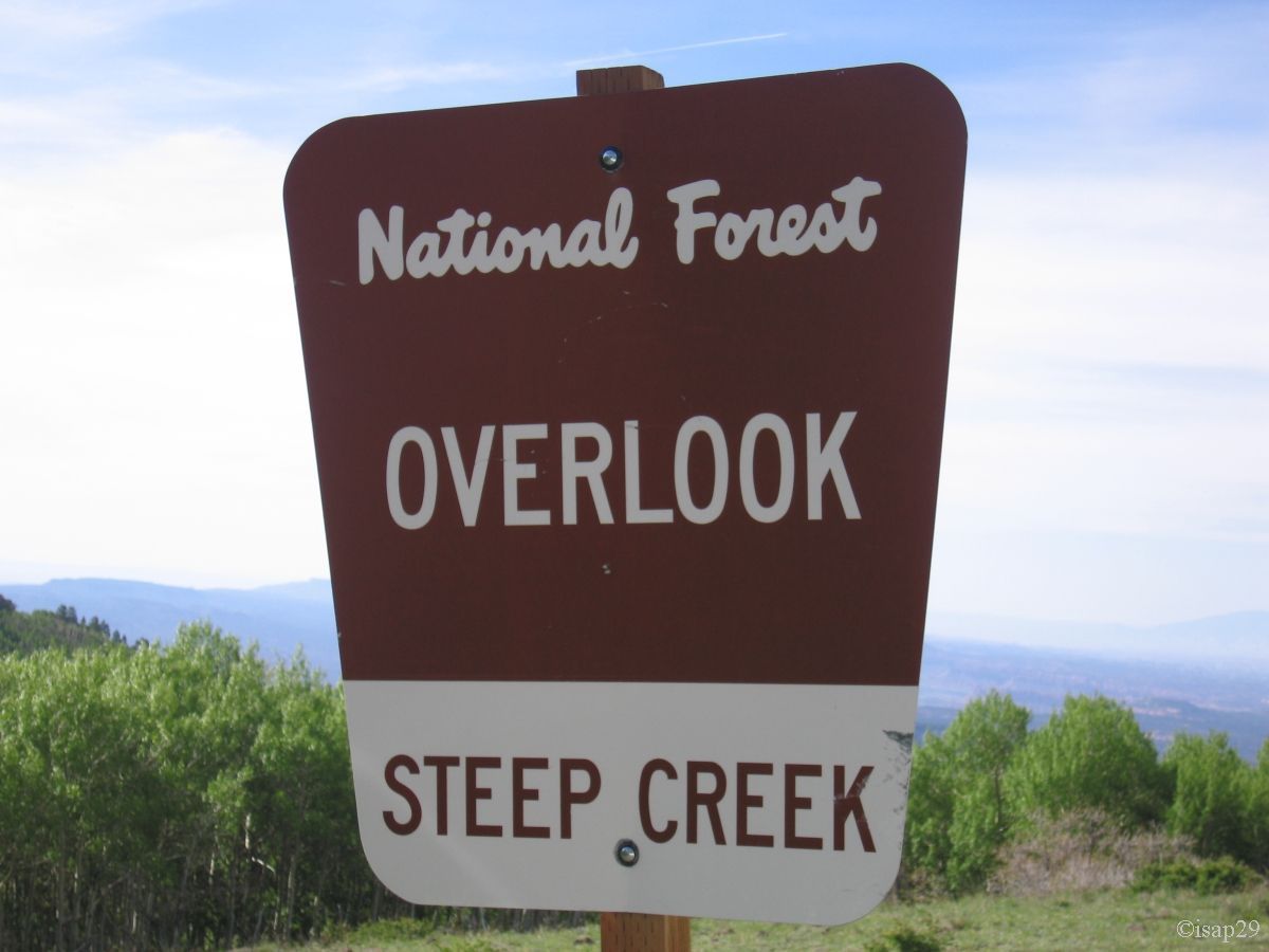
Then we enter into a forest of aspens and conifers and see what must surely be a marmot, but too briefly for a photo. The next stop is
at Steep Creek (9,403 feet) whereas Homestead Overlook is closed for work. More we ride, more aspens are numerous and we end up going
down to Boulder (6,595 feet).
Scenic Byway 12 (4 photos)
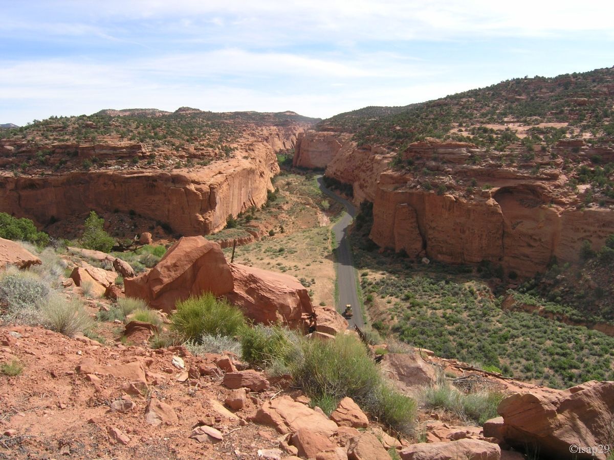
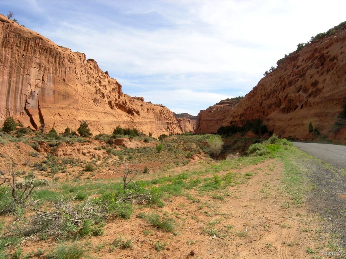
At 9:30 am, we start the Burr Trail Road. At mile 6, we leave the yellow rock to reach the red sandstone and the long "trench" of
Long Canyon. We're starting to be hot with our polar because outside is now of 72°F. We see the entry of Long Canyon, below.
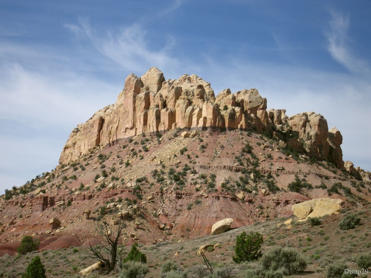
The road crosses pleasantly the canyon and, at the exit, we discover a whole rock nicknamed "Diadem"; one wonders why
 ?
?
.jpg)
Long Canyon (7 photos)
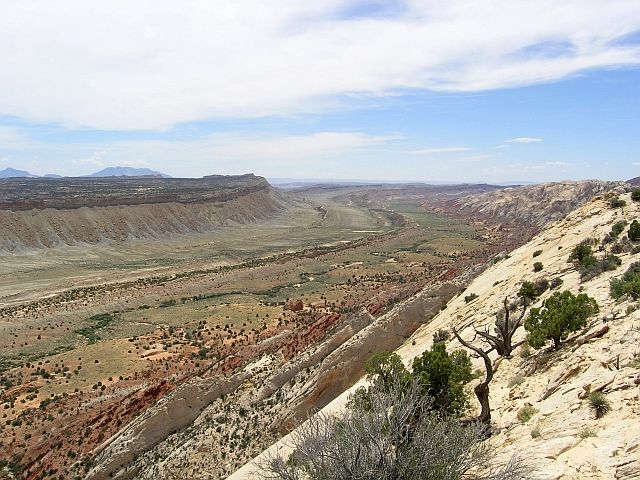
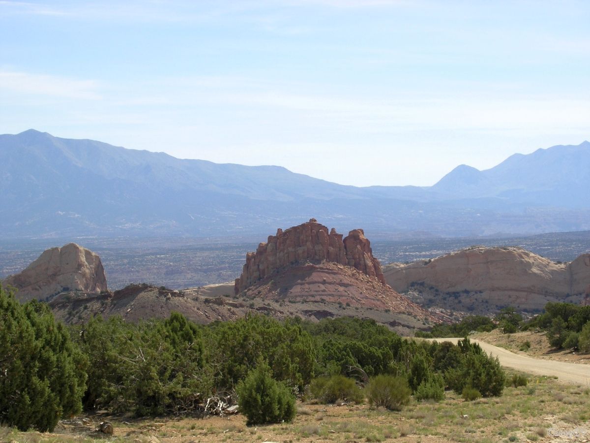
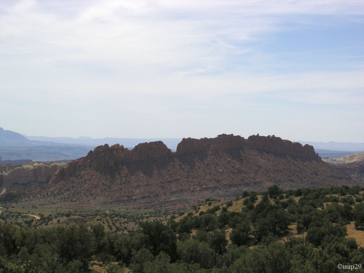
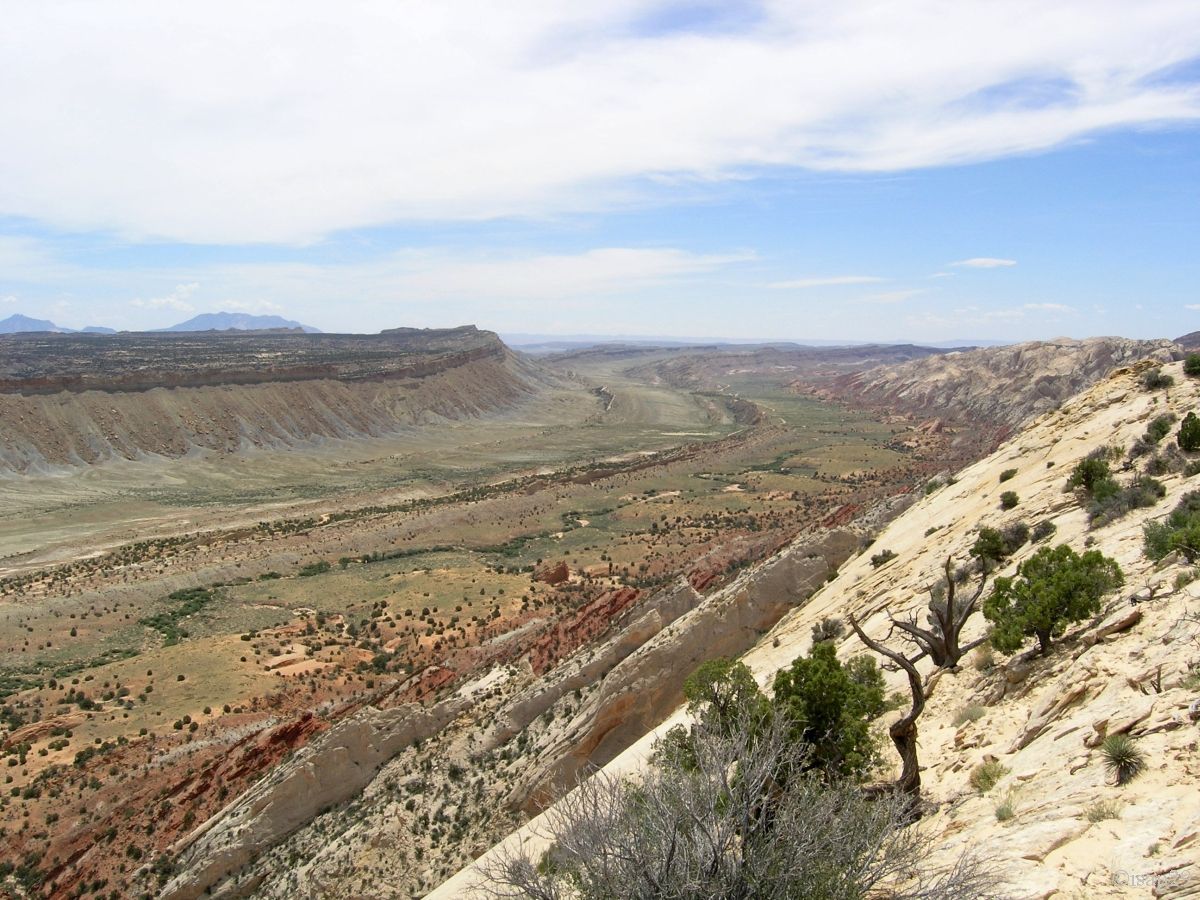
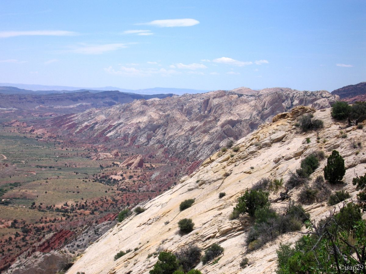
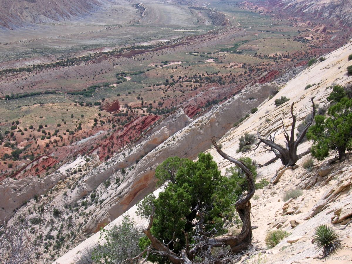
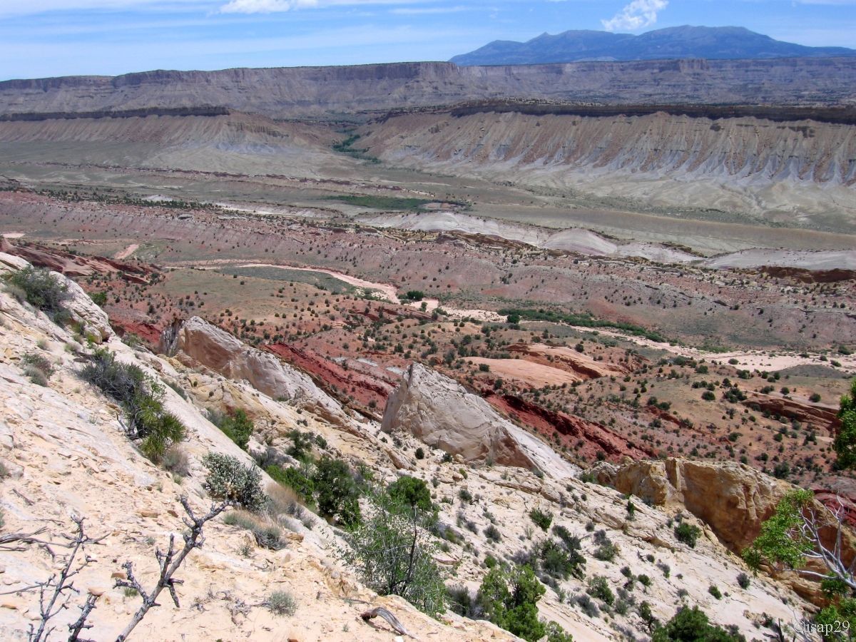
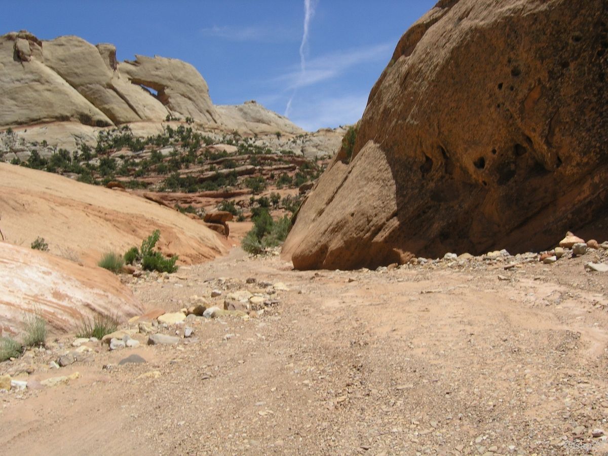
At mile 30 (from Boulder), the road becomes a dirt road, but very easy to drive. At 11 am, we begin the hike to Strike Valley Overlook,
after we parked in the parking lot located at the beginning of the side road; I don't think we could go through the wash with our vehicle,
unlike the big 4WD that pass us.
From the start of the hike, a lot of midges; what a wound, but luckily it didn't last.
Arrived at "second" parking lot, we enter the final stage, first in sand and then, quite quickly, on slick rock; small climb in the sun
accompanied by many cairns and we arrive at the top.
_ajust.jpg)
Strike Valley Overlook (10 photos)
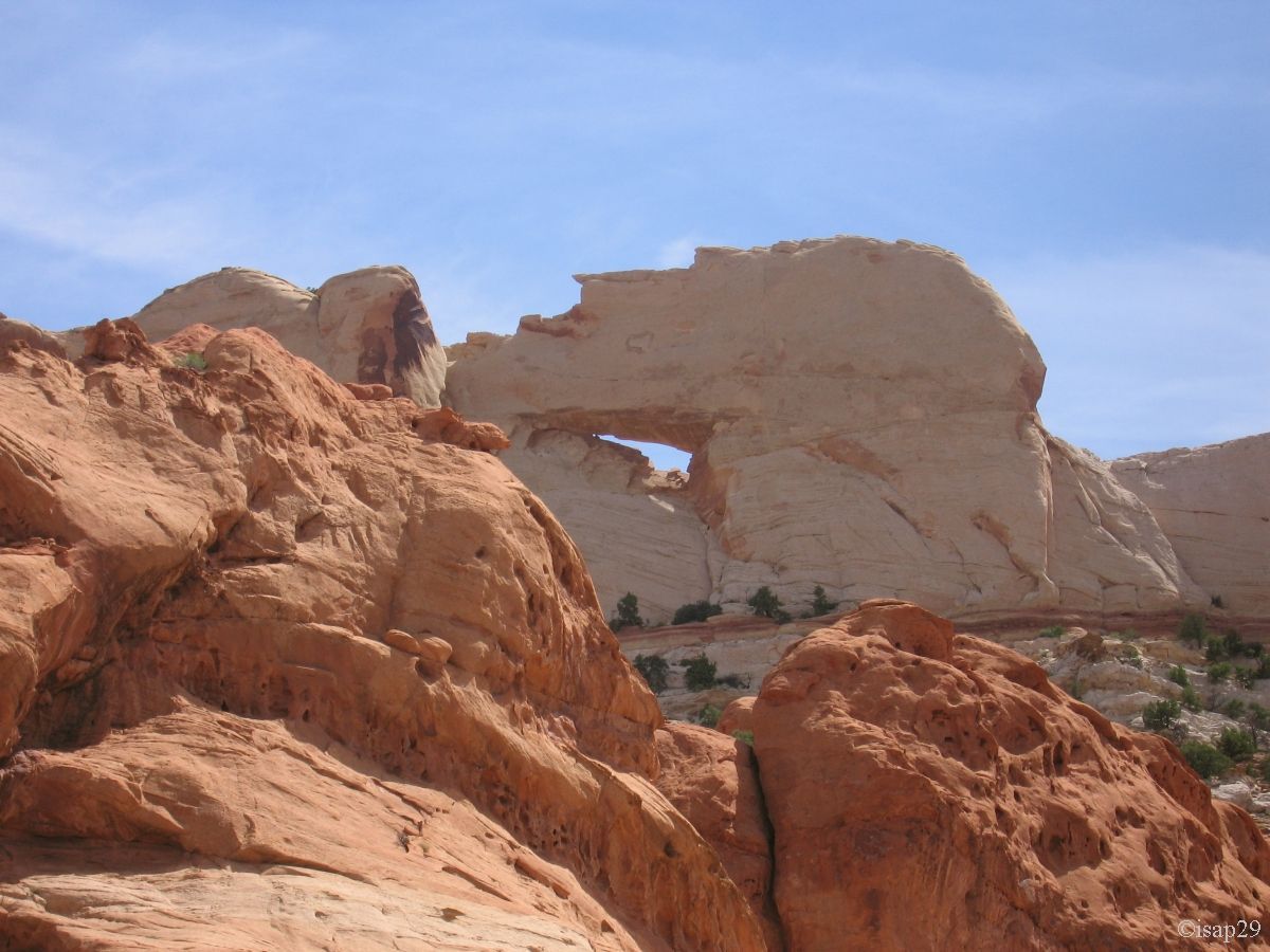
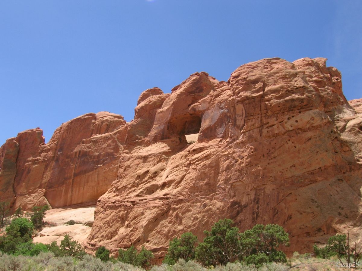
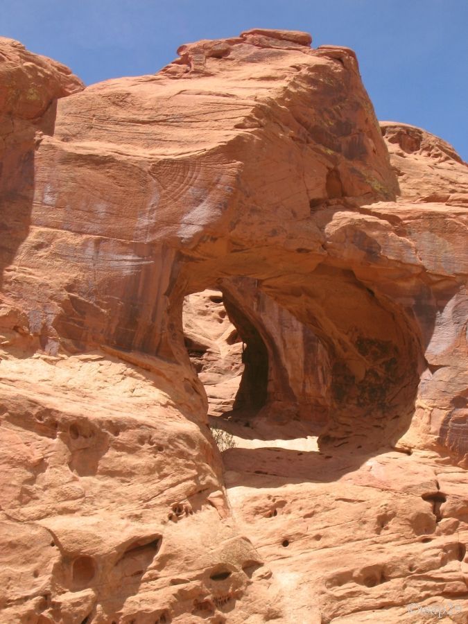
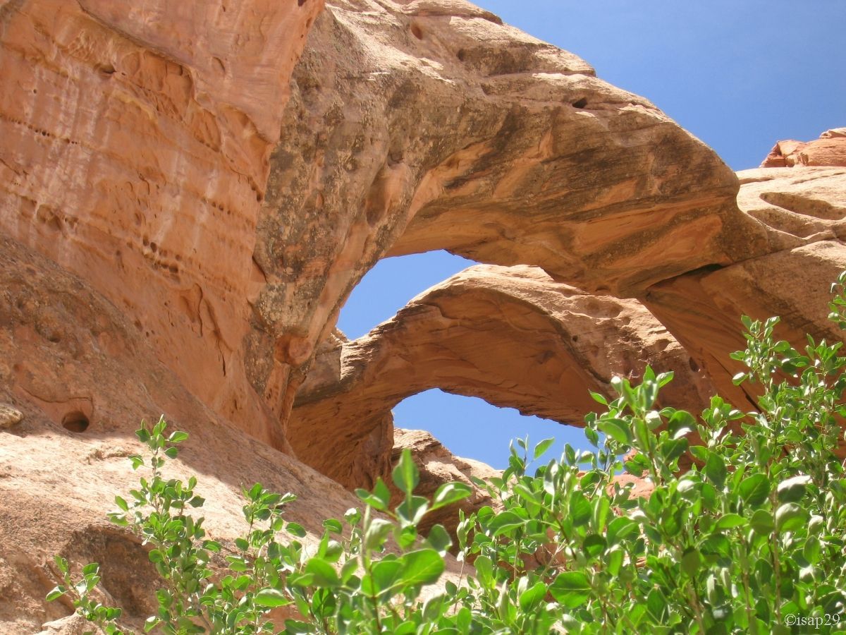
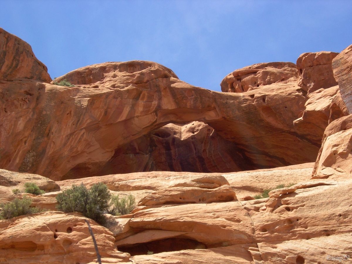
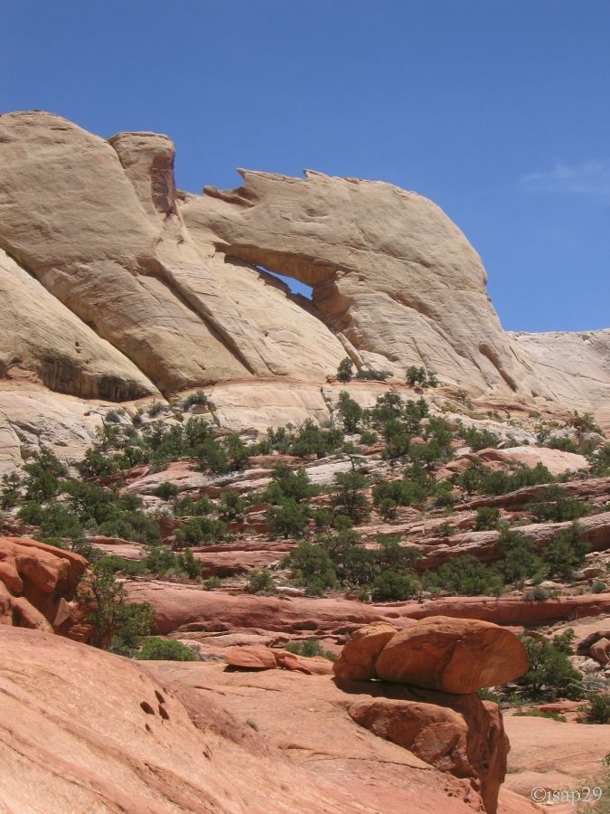
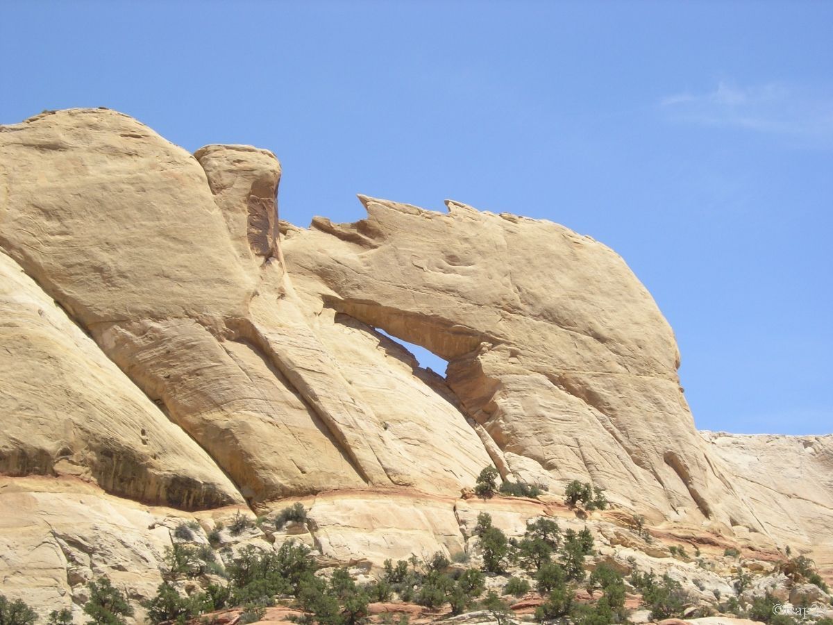
We eat an apple, drink some mouthfuls of water and begin the descent. The return in the wash will be the opportunity to photograph
the various arches glimpsed on the way there, the latest being Peek-A-Boo Arch
The name of the canyon (Upper Muley Twist Canyon) is because it's so narrow and twisty that it would twist a mule to get through it!
Arches of Upper Muley Twist Canyon (12 photos)
We arrive at our car at 1:40 pm with 91°F; no wonder we have been hot
As we already saw the switchbacks of the descent yesterday, we turn back and drive towards Boulder to stop in Long Canyon, in the shadow
(rare) of a tree for a small snack and a well deserved rest; it's 2:30 pm.
Between Boulder and Escalante, the road follows a peak with hollow on each side and Isabelle, who is driving, dislikes.
We make a quick stop at Lower Calf Creek campground where we planned to sleep tonight, but everything is full. We'll return here this evening.
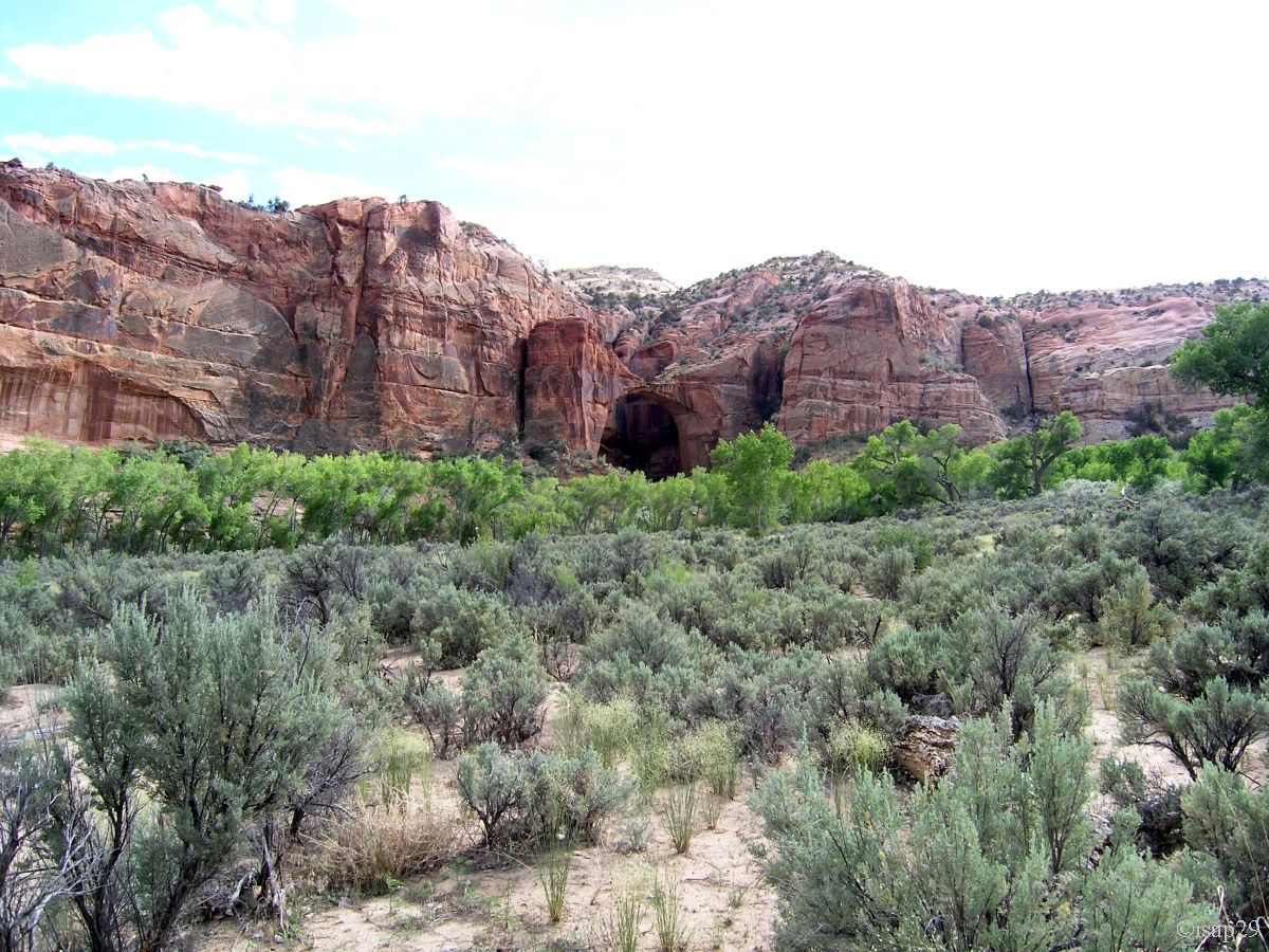
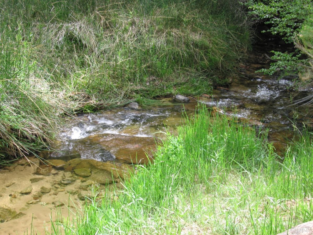
At 4:20 pm, we arrive at the parking near the bridge over the Escalante River and fifteen minutes later, we begin the hike to Escalante
Natural Bridge, having shod shoes water. The trail is almost sandy (painful) and crosses the river 4 times (pleasant interludes,
refreshing).
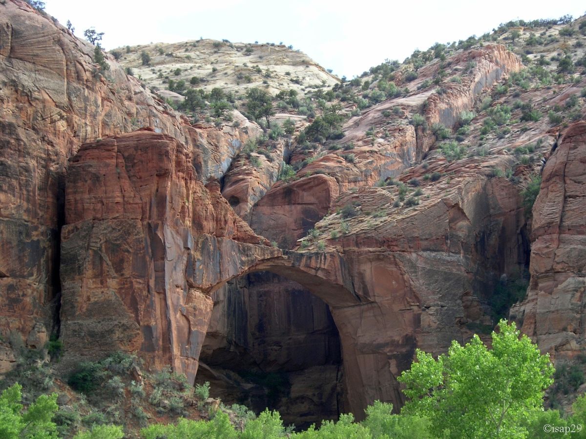
Along the way, we see a small arch on the top of the cliff.
We take the last pictures of the bridge our feet in water and continue a little hiking (2 young Americans seek our help, they are all flustered)
before deciding to turn back.
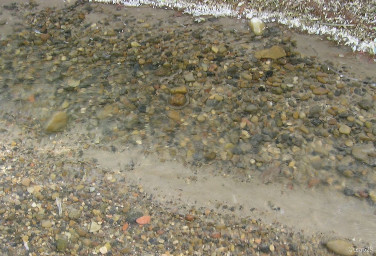
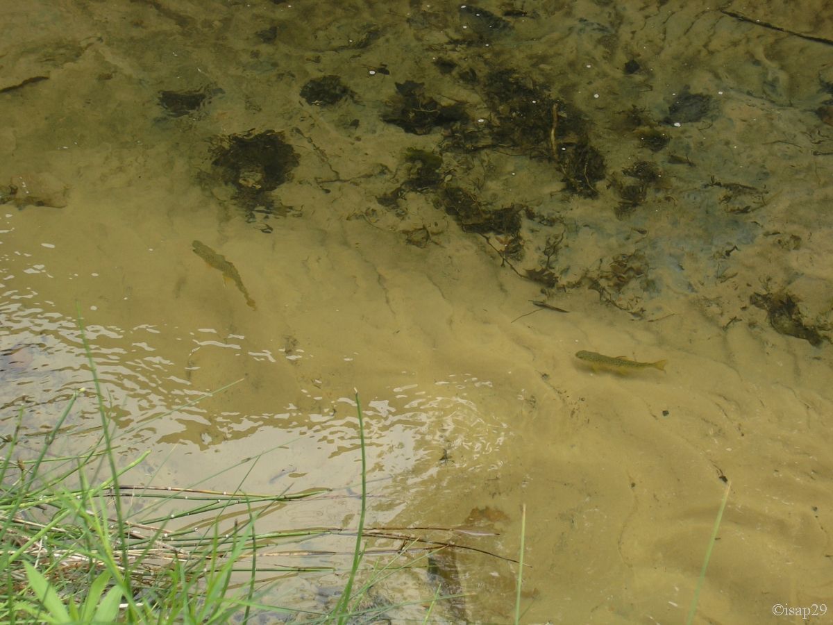
As it's hot, I convince Isabelle to go down the river bed, feet in water: how nice it is!
Seeing me bent over the water, looking through the viewfinder, she asks me what I'm tring to photograph. Getting no response and seeing
nothing but small pebbles, she comes and looks over my shoulder.
In the next half second, she gets on dry land: I was trying to take a photo of a "snake". My knowledge of herpetology are such that I would
never know the species of the beast (dangerous or not). I continue in water, down to the bridge, and join Isabelle on the path.
We were not annoyed by mosquitoes but rather by horseflies.

.jpg)
Escalante Natural Bridge (9 photos)
Around 7:20 pm, we "find" a place on the campground of Lower Calf Creek, by the "Philippe" method. We go to bed with heat (81°F) but the dawn will be cool, probably thanks to the nearby river.
Thursday, June 4
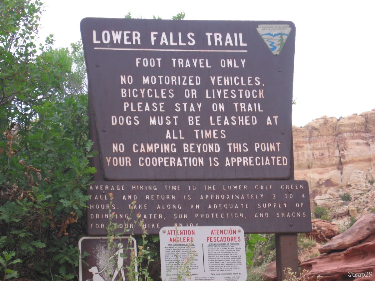
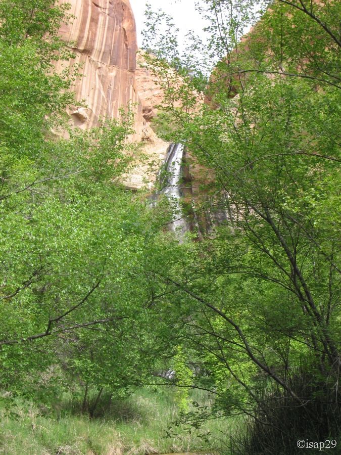
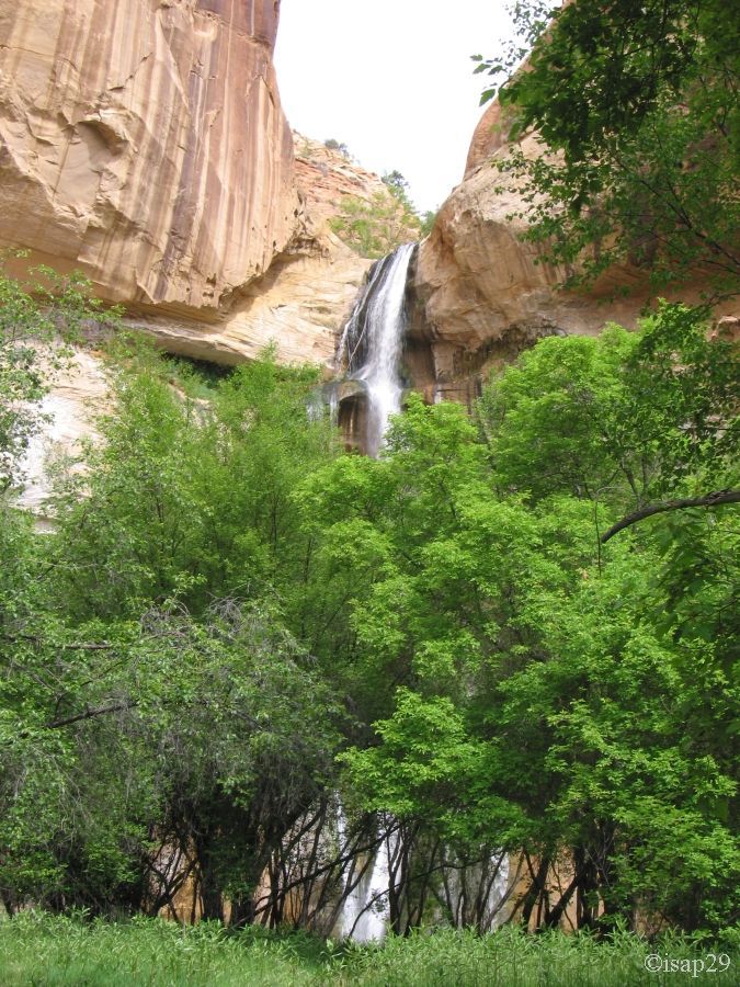
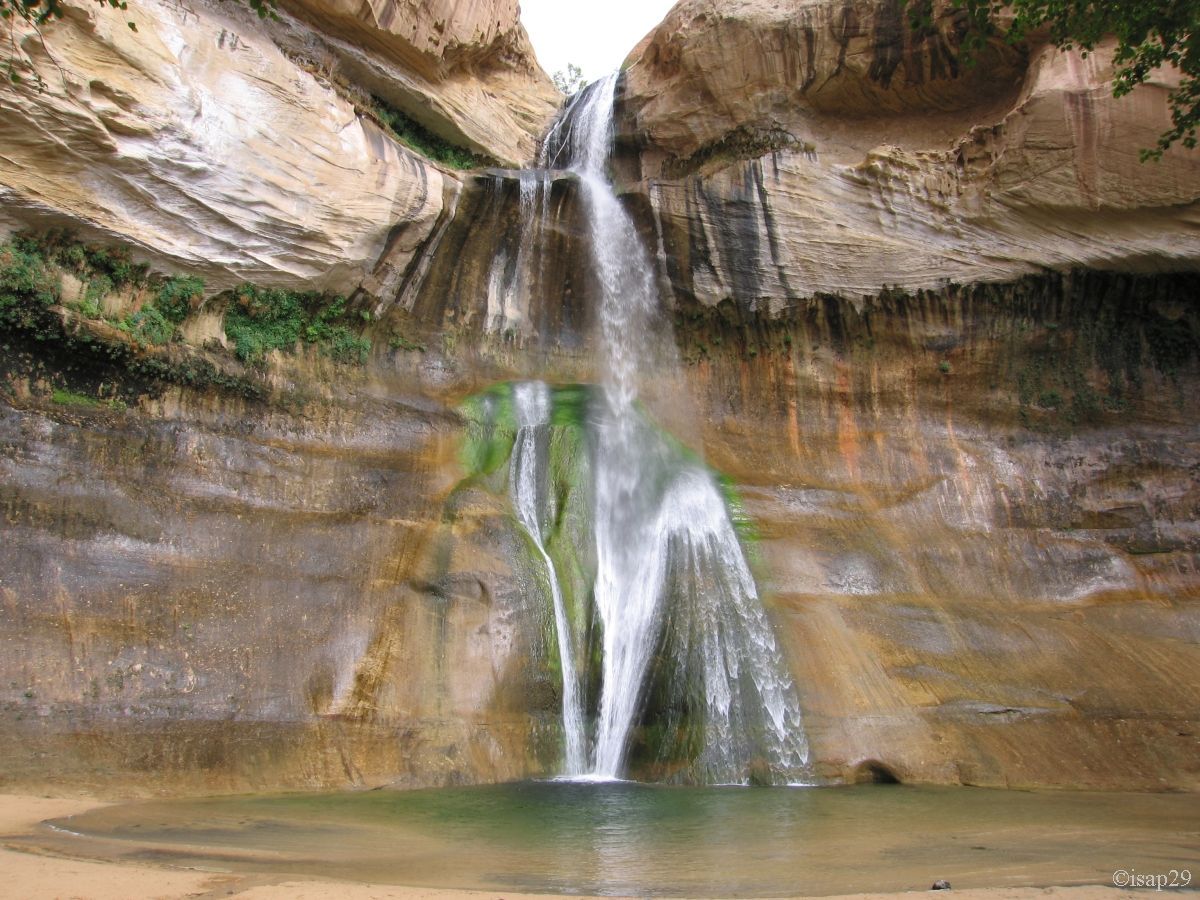
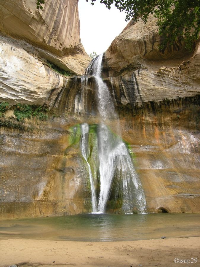
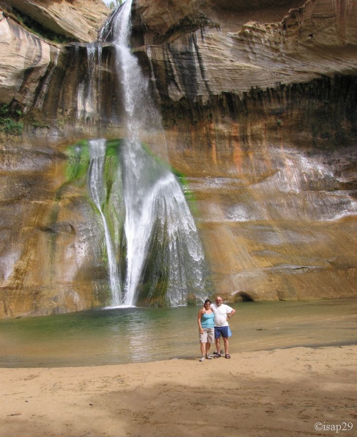
Starting at 8:35 am to Lower Calf Creek Falls, after breakfast and morning ablutions; our car is now parked on the parking lot near
the home of the camp and it's 57°F. At the trailhead, a box provides us with leaflets because the trail is marked and documented.
We pass successively the various points and 1:40 later, we discover the waterfall.
The show is wonderful, fresh and the sky clears. We're almost alone, which is nice and adds to the tranquility of the moment.
Lower Calf Creek (20 photos)
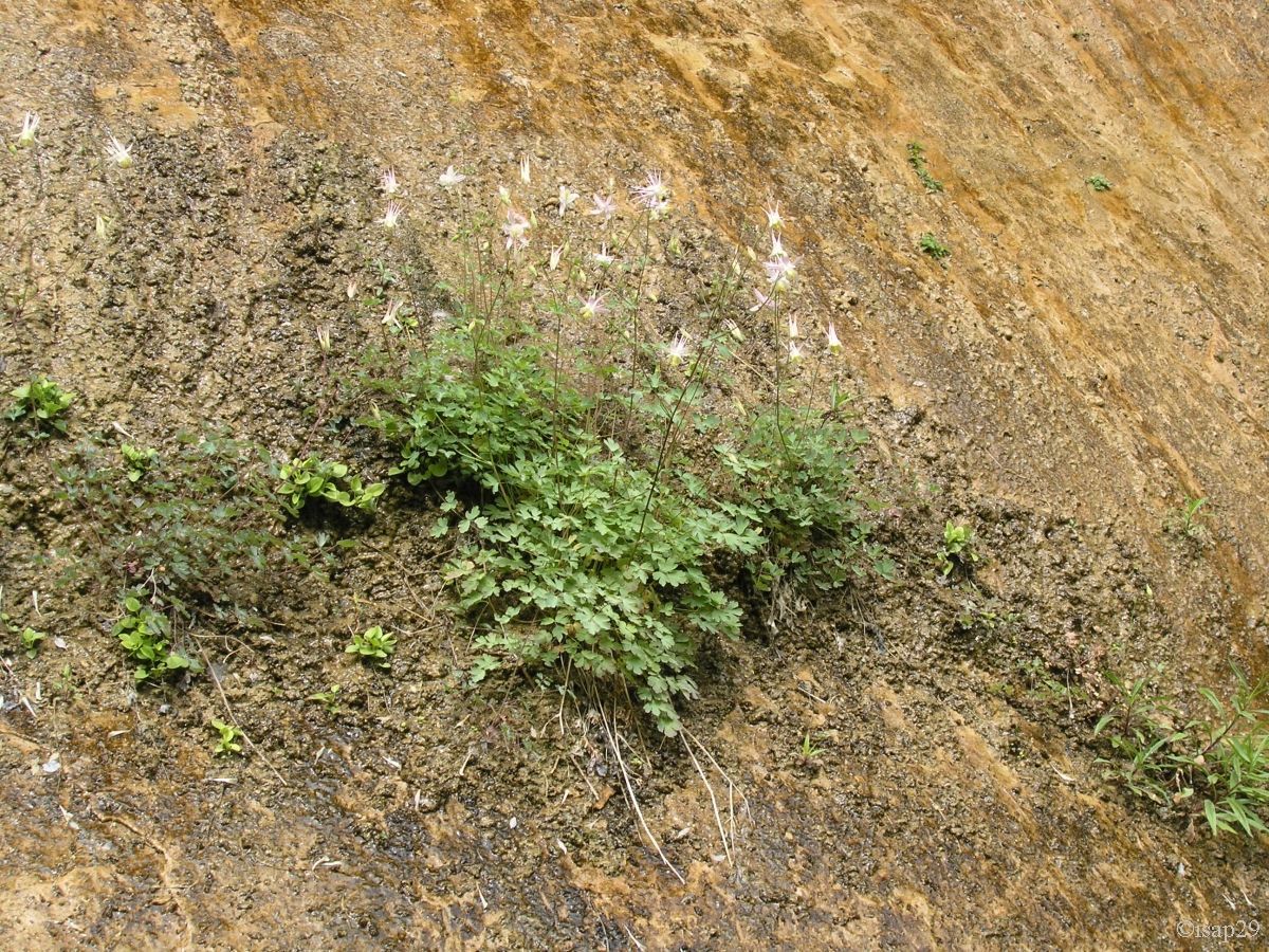
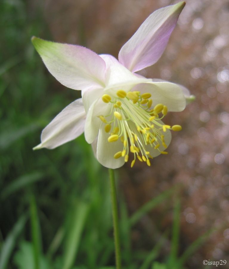
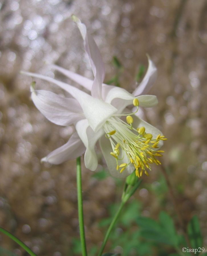
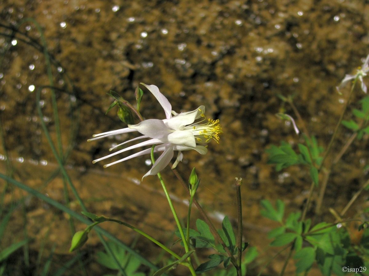
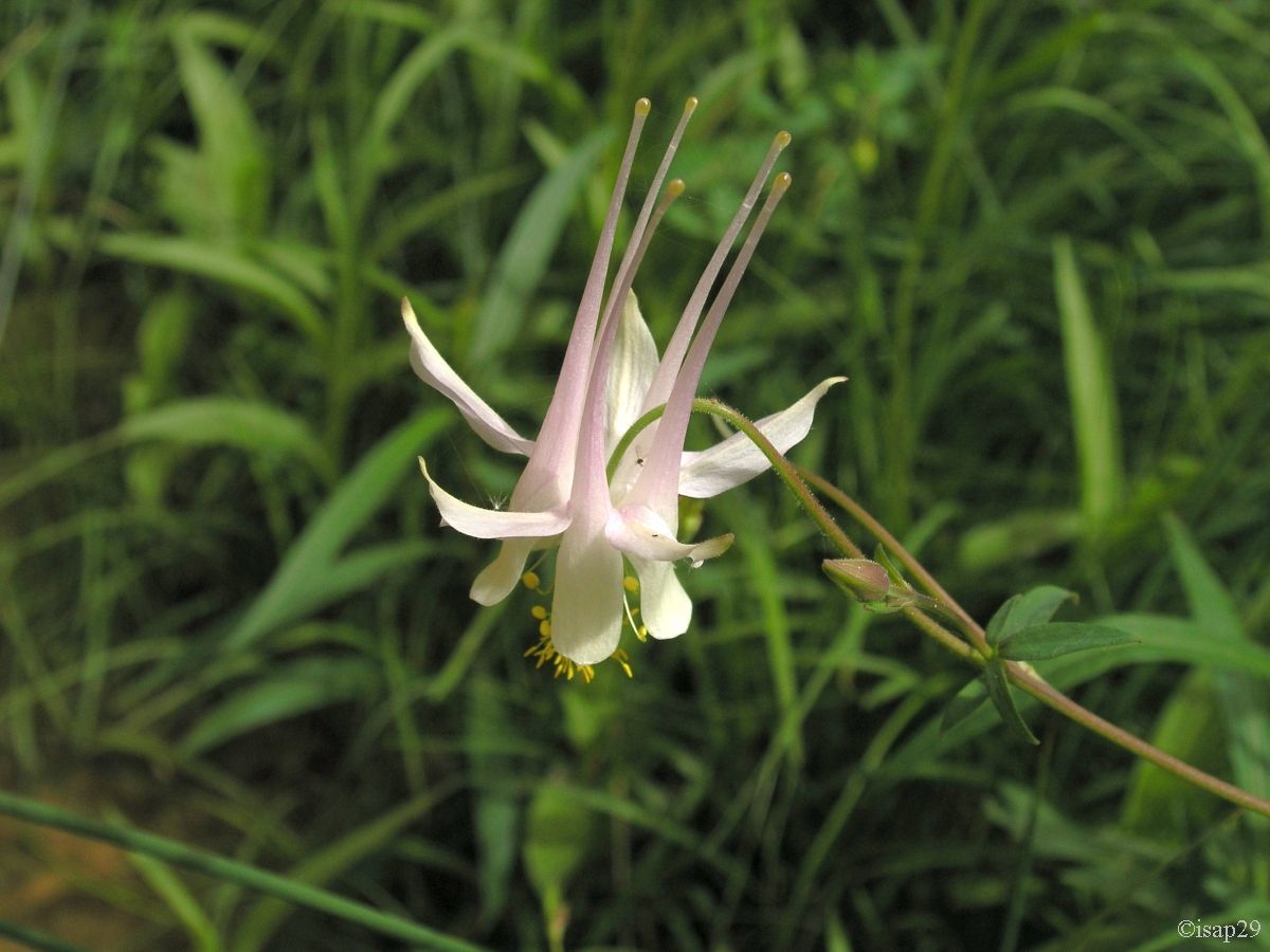
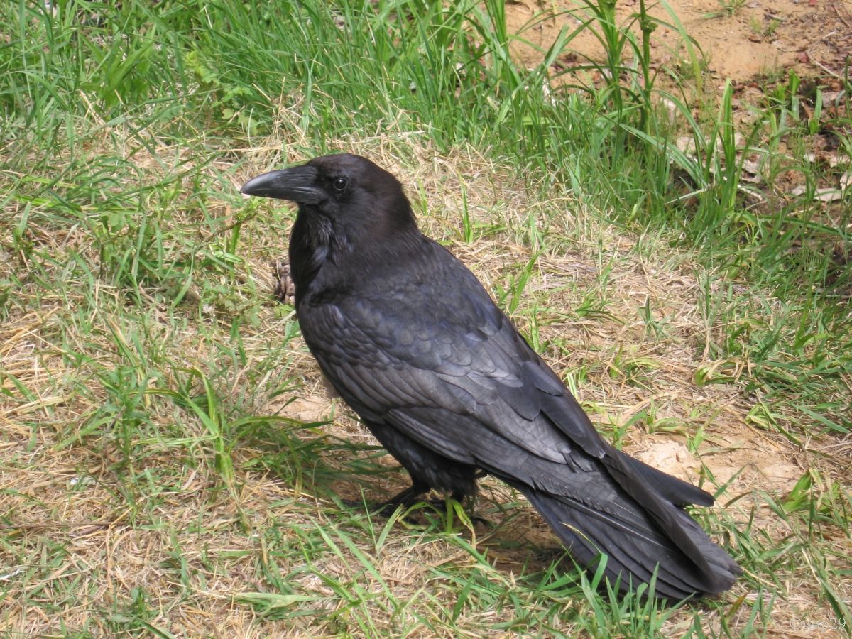
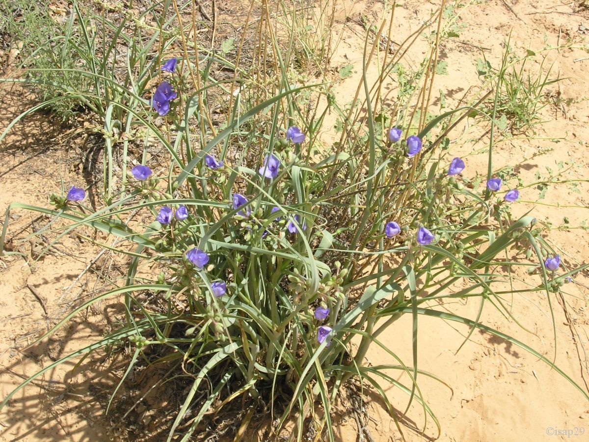
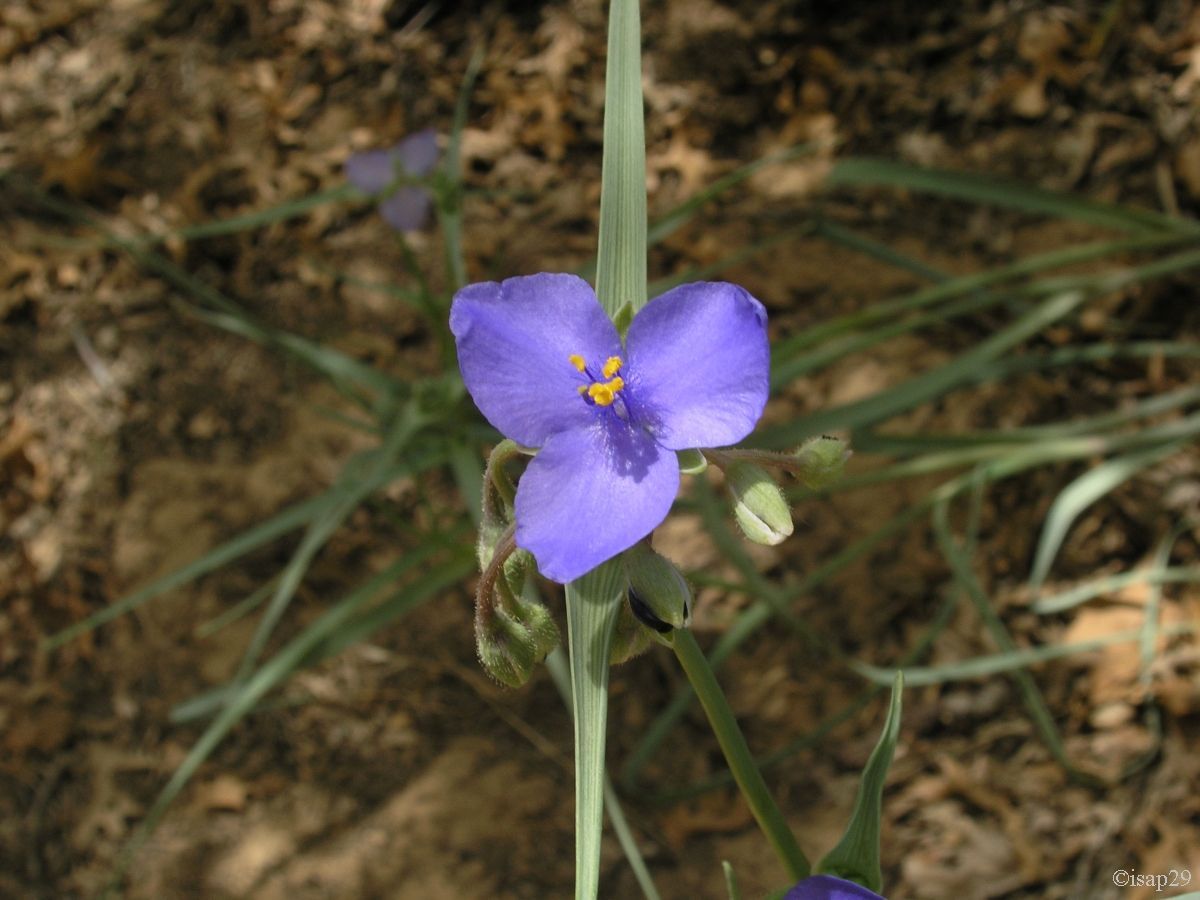
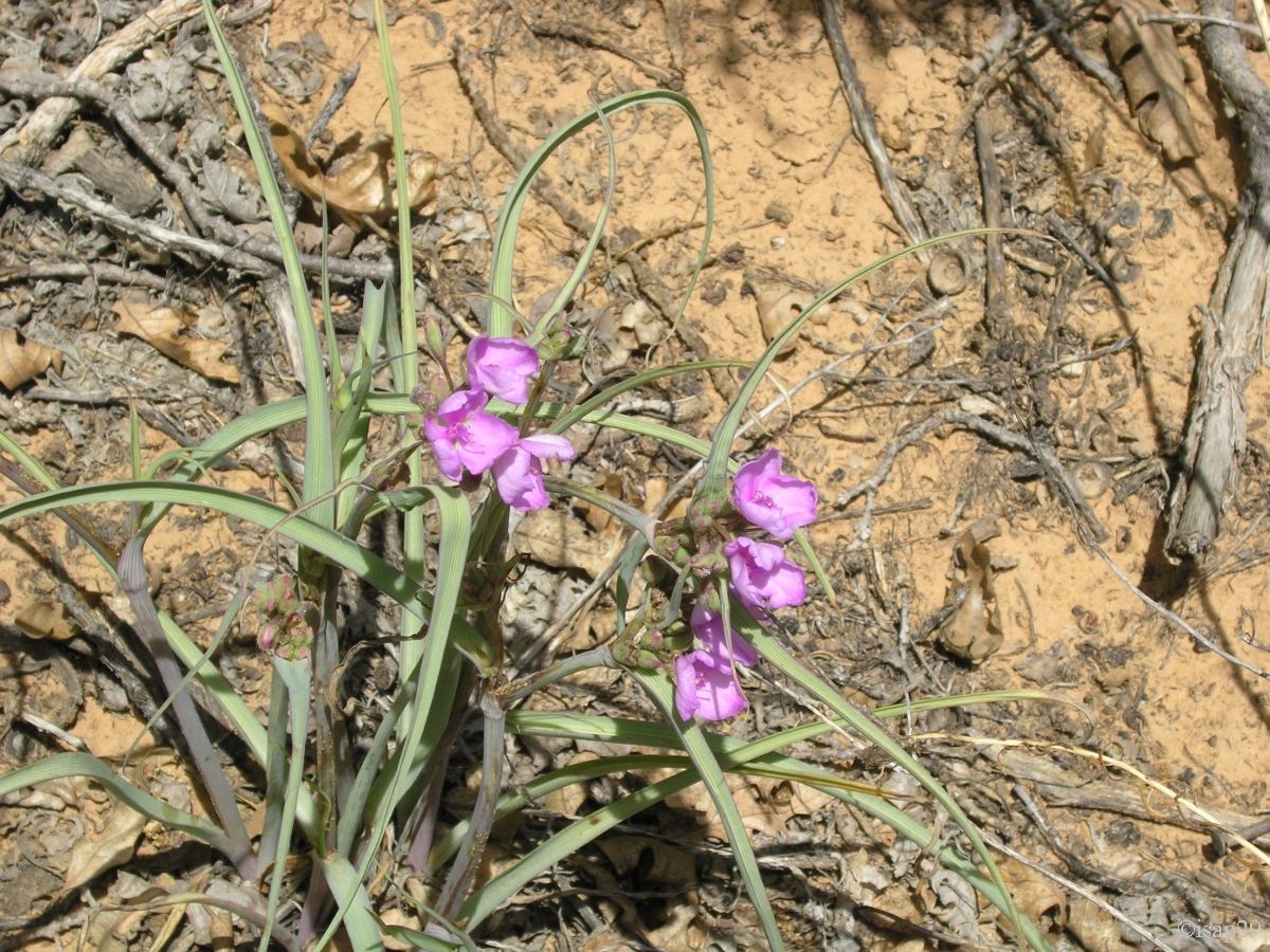
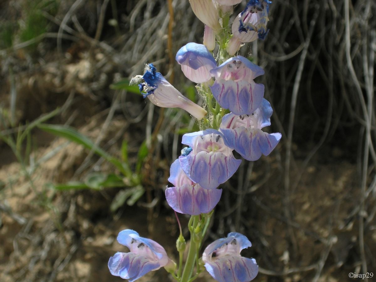
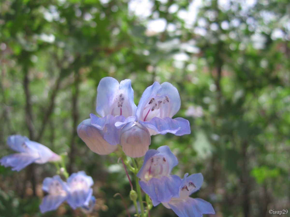
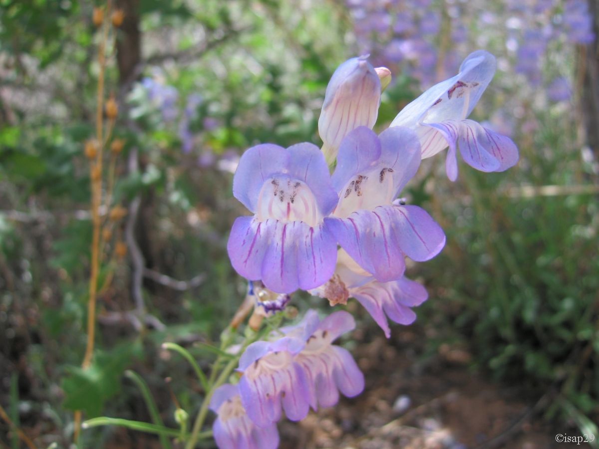
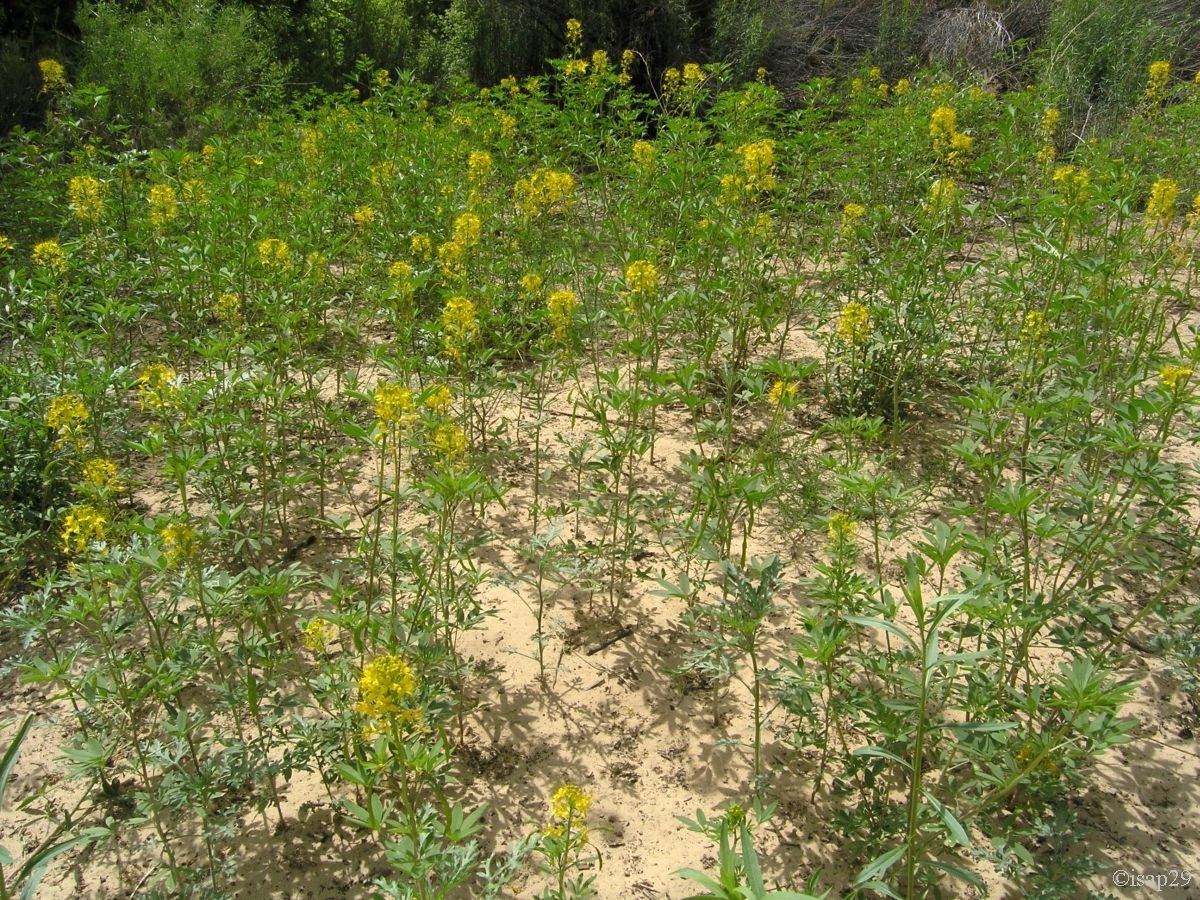
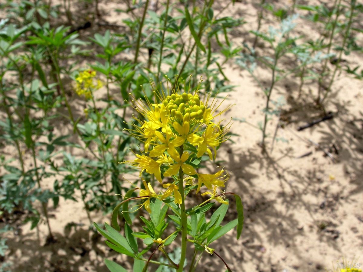
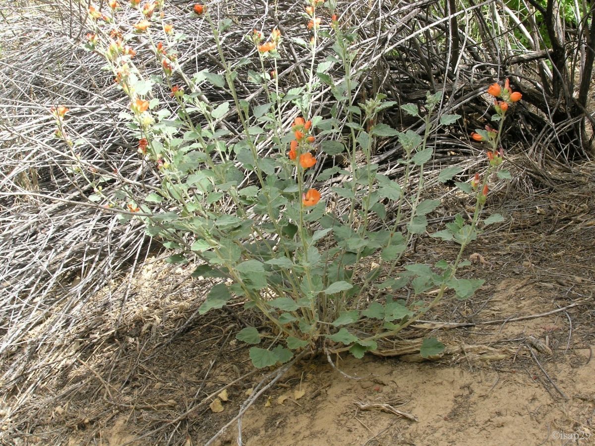
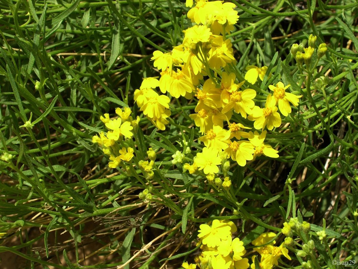
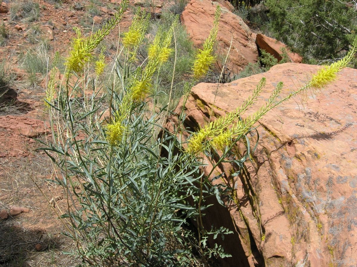
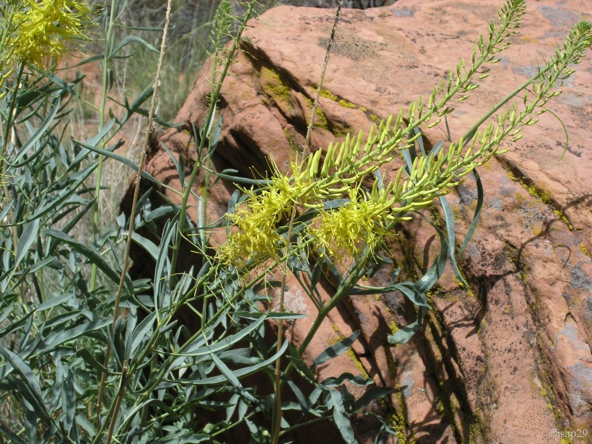
35 minutes later, we begin the way back, with many photo stops as there are so many flowers.
ust after a small wooden bridge, a black snake crosses the trail right in front of me so fast I don't have time to be afraid,
nor to photograph it!
We had lunch around 1 pm on a table reserved for groups, but free and in the shade near the car. Species of parakeets chirp around us.
Before leaving this camp, I talk with the camp guard and his wife the opportunity to provide, in addition to the current folder, another
on the local flora as it's rich and they seem interested by the idea.
Lower Calf Creek flora (18 photos)
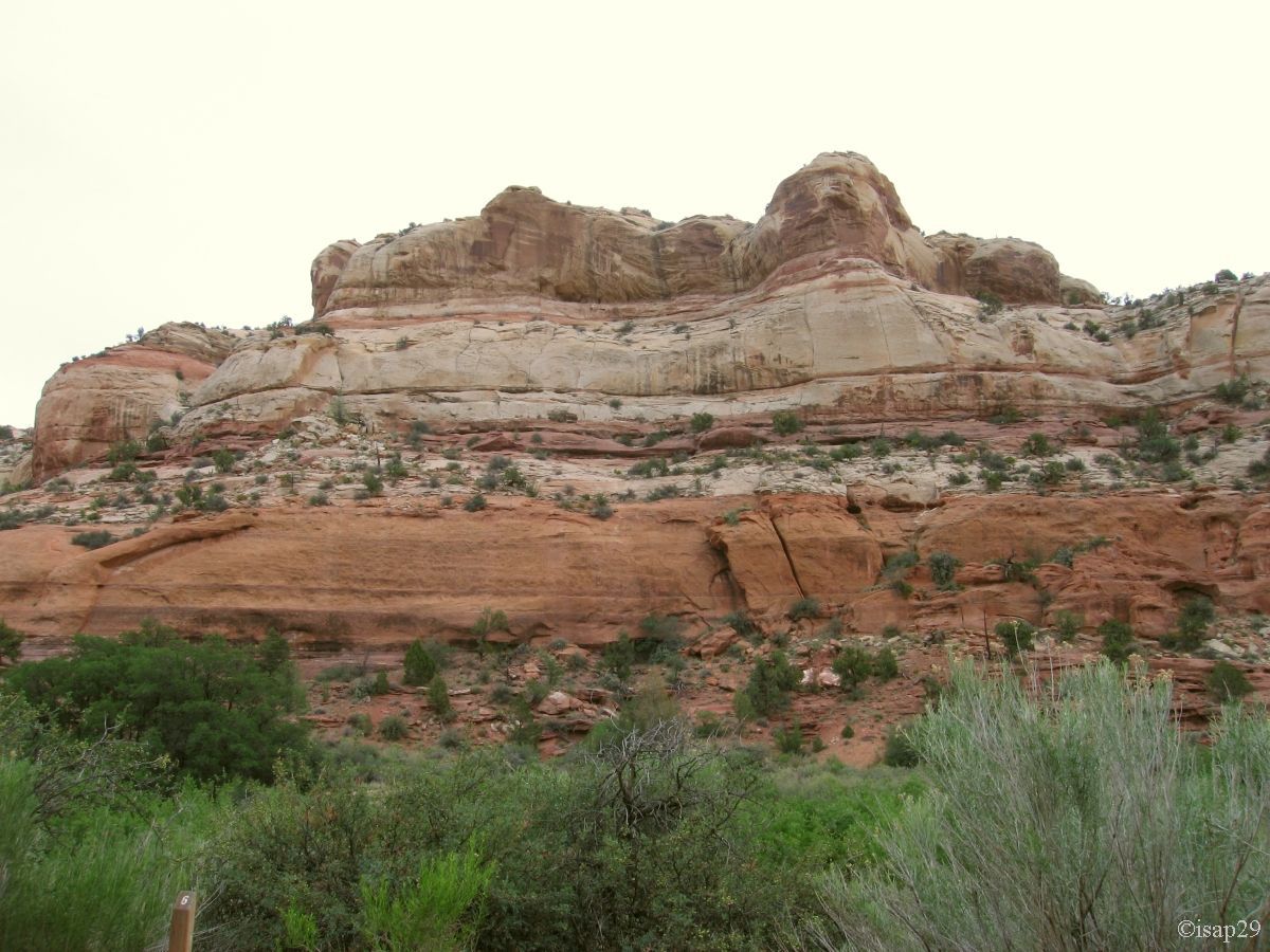
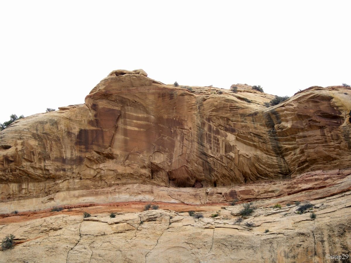
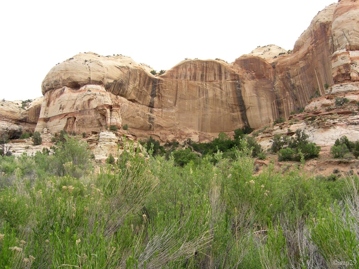
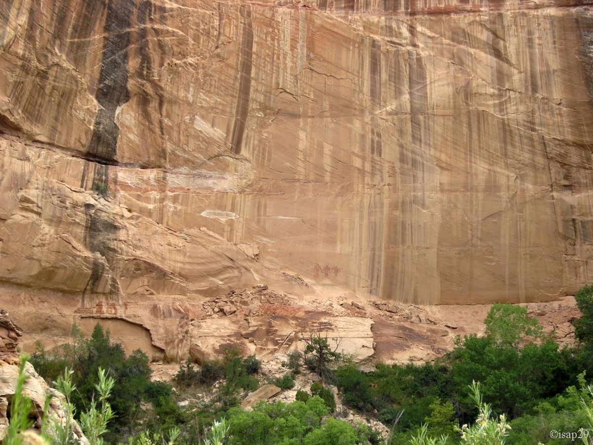
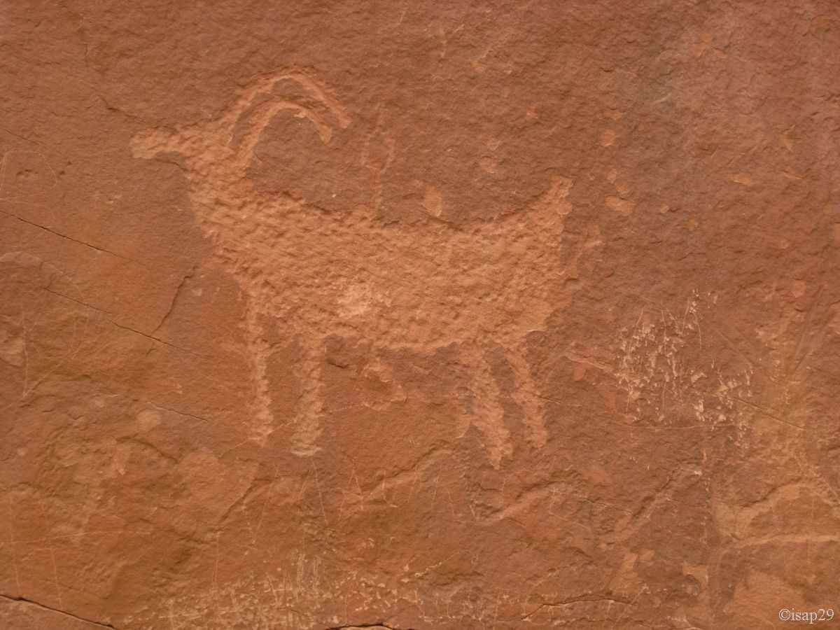
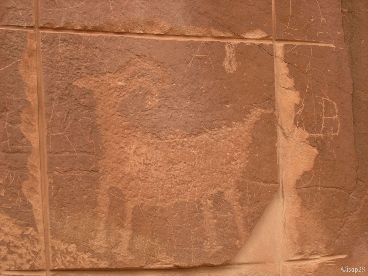
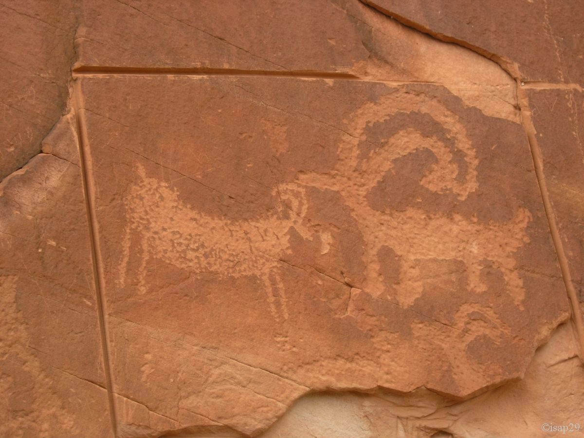
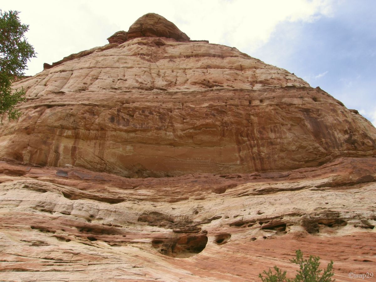
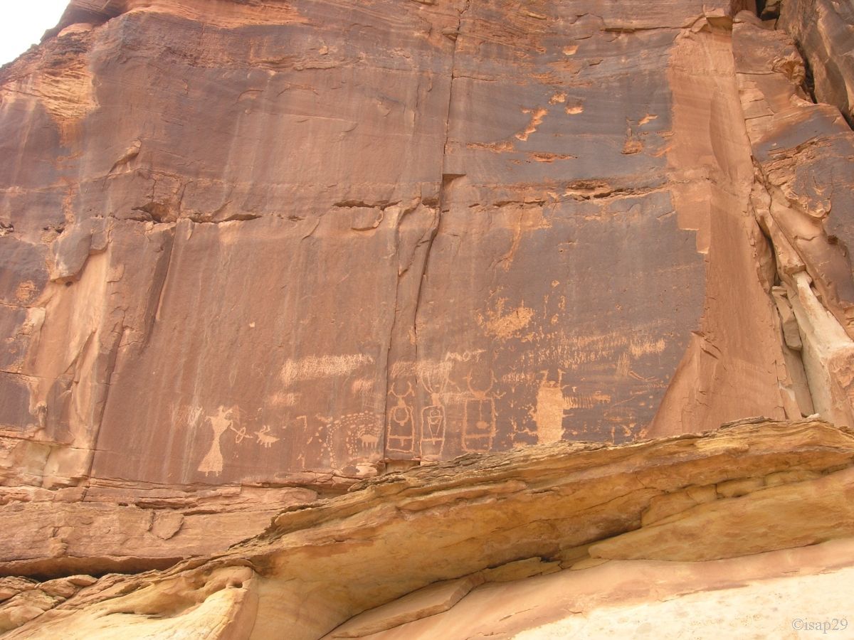
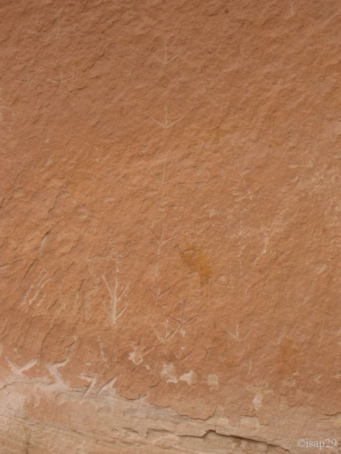
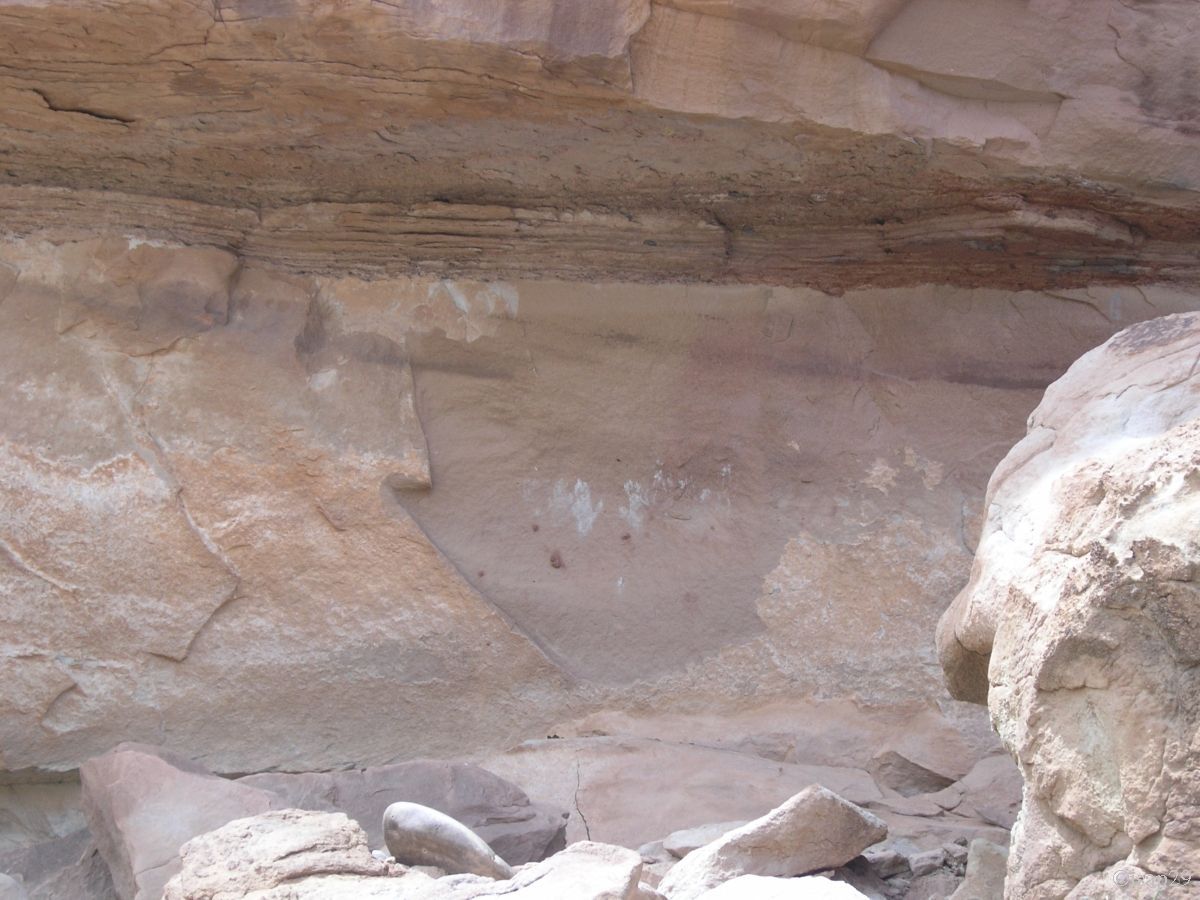
Near 1:45 pm, we leave the parking lot of Escalante River to try to find the famous Handprints and the neighboring petroglyphs. Hats and
sunscreen are a must because it's 81°F.
A small climb in the rocks and, soon enough, we discover the first petroglyphs (those of right-hand side of the "hands"). Obviously, there
was a robbery attempt, because cuts are made with a grinder. What devastation!

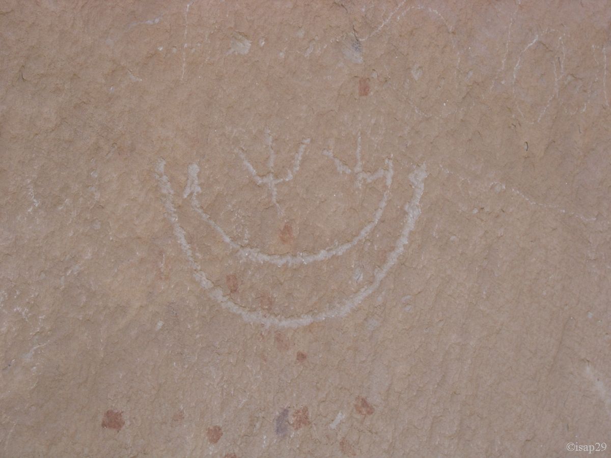
Shortly after, Isabella sees the Handprints, but a telephoto is essential.
As Isabelle rests in the shade, I keep looking alone for petroglyphs (left) and find them quite quickly.

Petroglyphs (13 photos)
We're back to the parking lot just before 3 pm with an external temperature of 86°F and we drive to the Visitor Center in Escalante (taking information on the condition of the track for the next day) and to campground where, in absence of guard (Closed), we pose a reservation for the next night. Then head for Prospector Inn to be sure to have a room for this night; no problem!
