
Grand Canyon North Rim
![]() version française
version française
Pictures are small in size and grouped in gallery; just a click on it and you'll have all the gallery in bigger size!
Easy navigation with left or right arrow on the keyboard; leaving the gallery photo by Escape.
Do not forget to switch to full screen (F11). Javascript is required.
Journey map
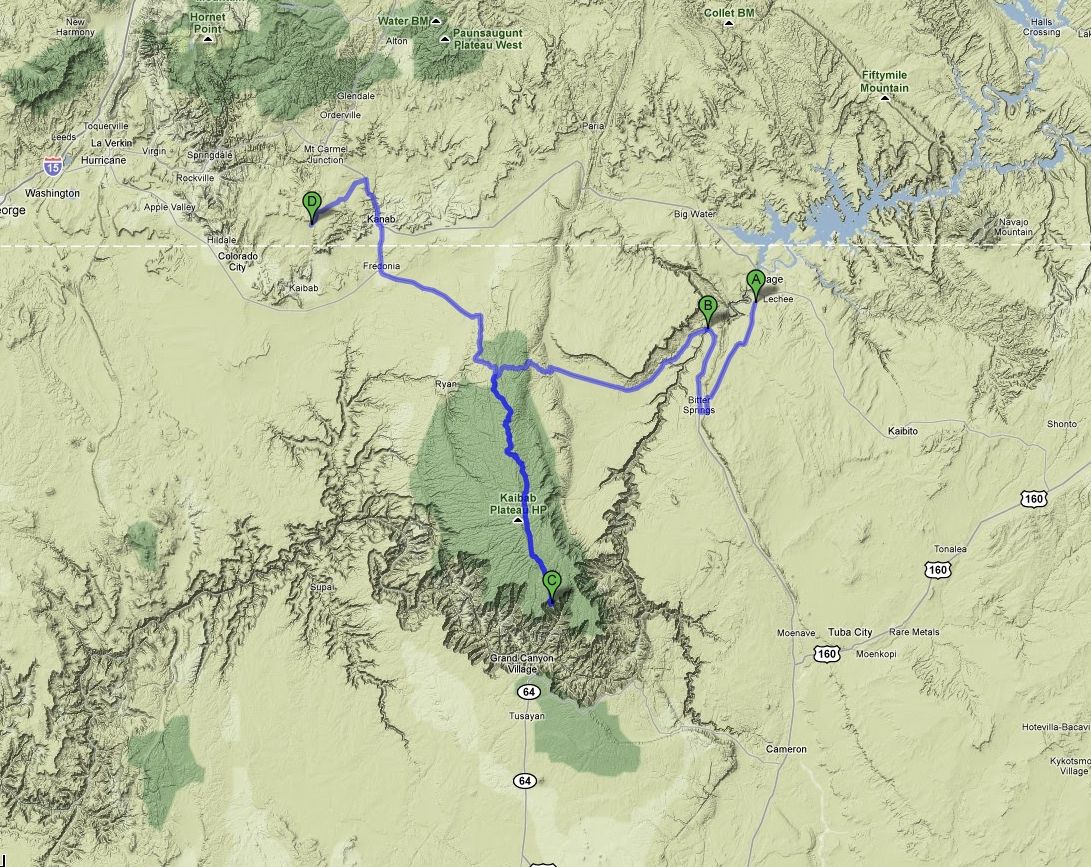
Approximately:
- from Horseshoe Bend (A) to Navajo Bridge (B): 35 miles and 37 mn drive on road
- from Navajo Bridge (B) to Grand Canyon North Rim (C): 84 miles and 1h50 drive on road
- from Grand Canyon North Rim (C) to Coral Pink Sand Dunes State Park (D): 100 miles and 2h30 drive on road
Saturday, June 13 (continued)
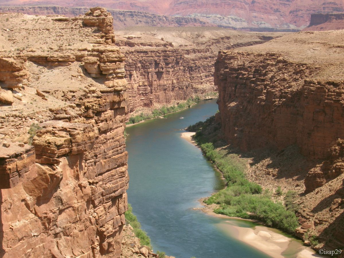
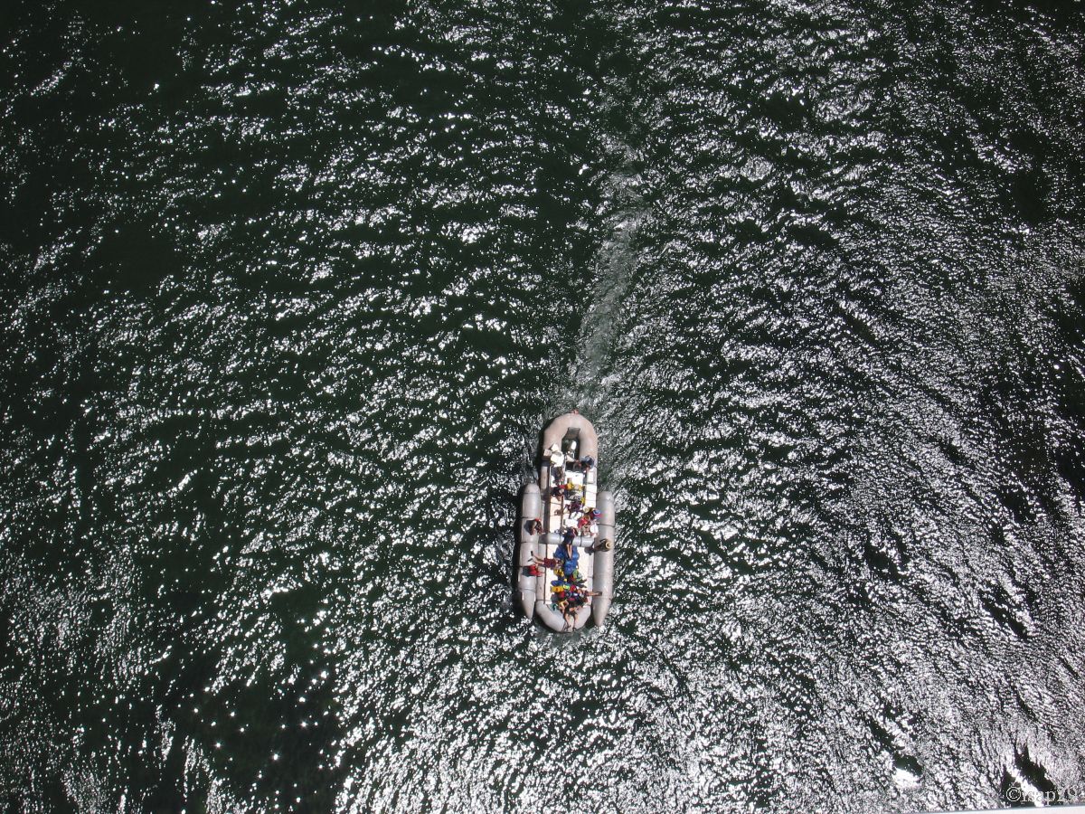
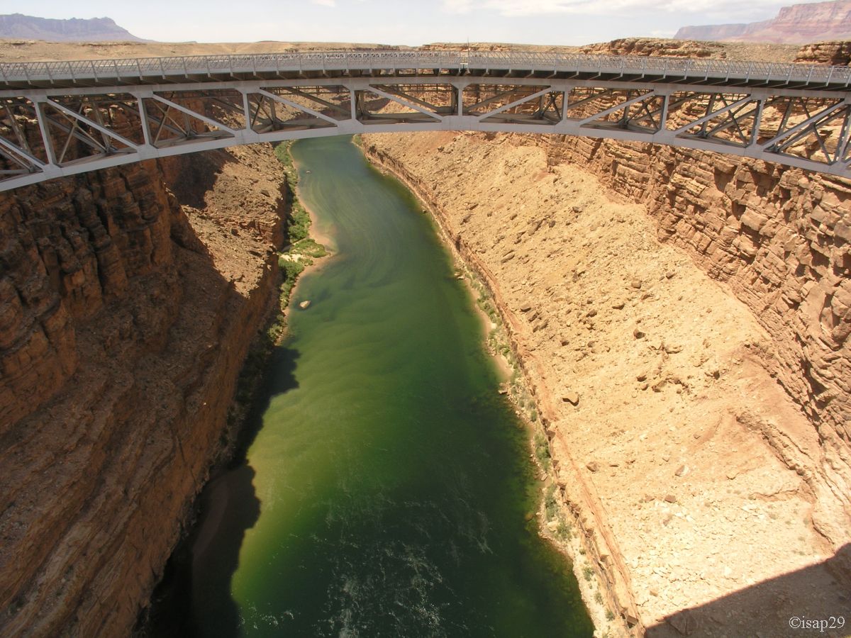
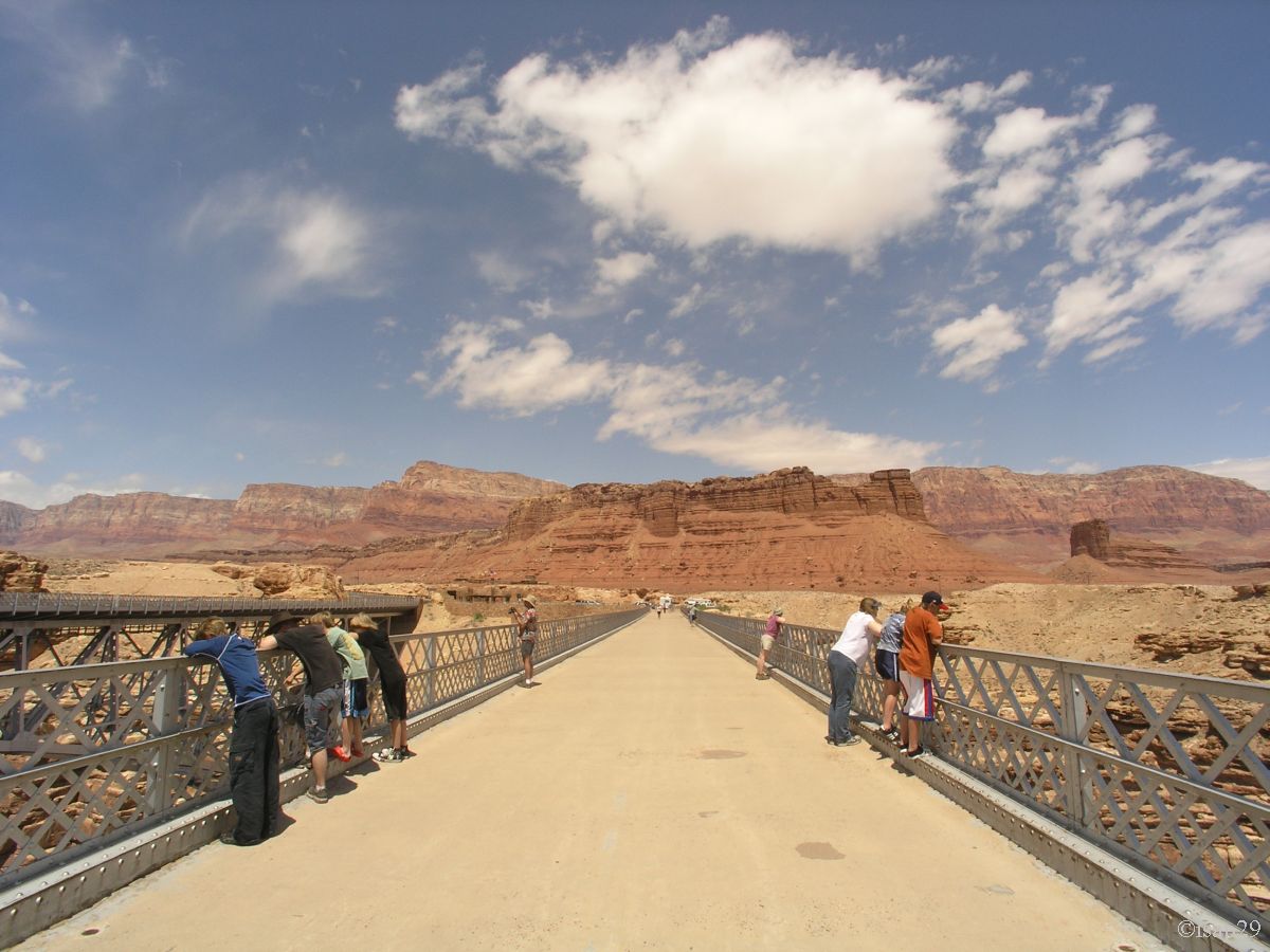
On the road to Grand Canyon North, we do a little photo stop before Lee's Ferry to see the red cliffs and another stop at Navajo Bridge (11:50 am) where we can once again contemplate Colorado.
.jpg)
_B-20.jpg)
.jpg)
Navajo Bridge (11 photos)
On our roadbook, we had Cathedral Wash, Double Barrel Arch, but following the loss of our photos, we decided to save time to redo a jump at Bryce Canyon.
So we head directly to the Grand Canyon North (12:35 pm), on the advice of Gillou02 without whom we would have skipped.
After leaving Hwy 89A, we take the AZ-67 S and drive through a charred forest trees where survivors are rare. We pass a sign indicating the altitude: 8840 feet (almost 2700 meters),
the trees are green again and ground is covered with vegetation; it changes us semi-desert landscapes. The road is long from the park entrance.
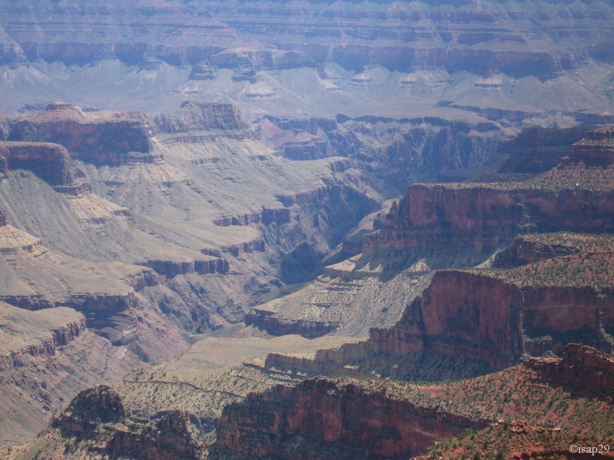
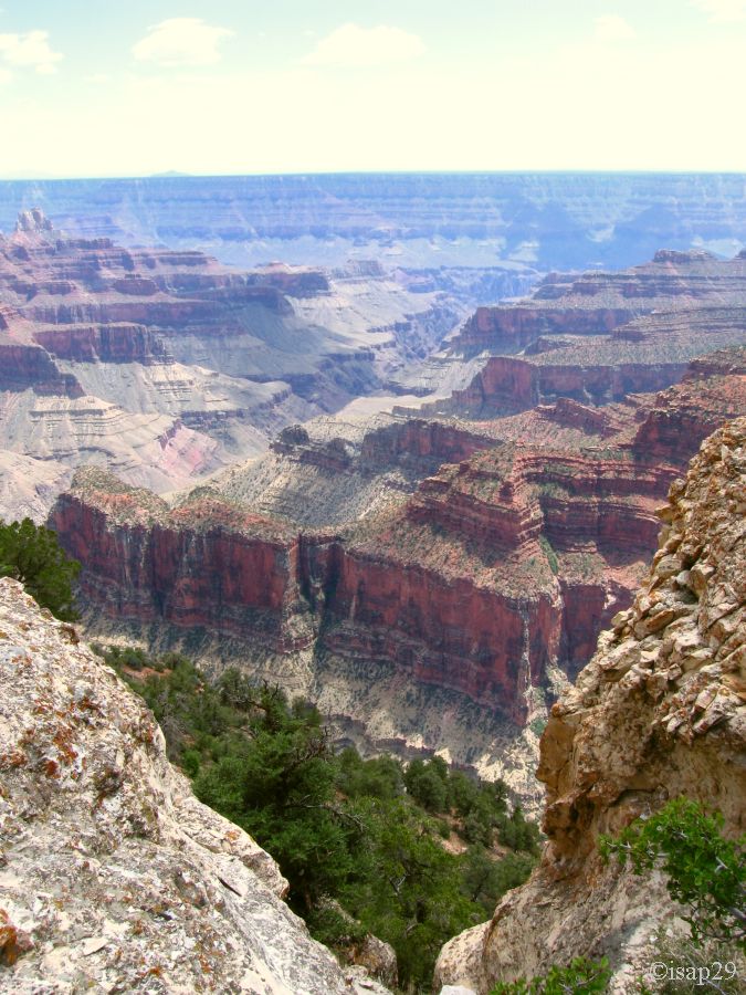
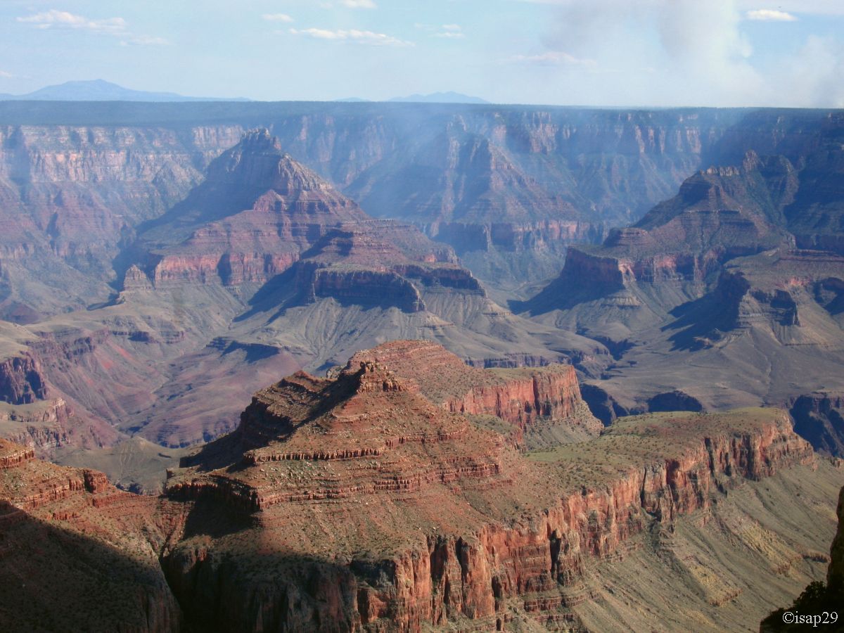
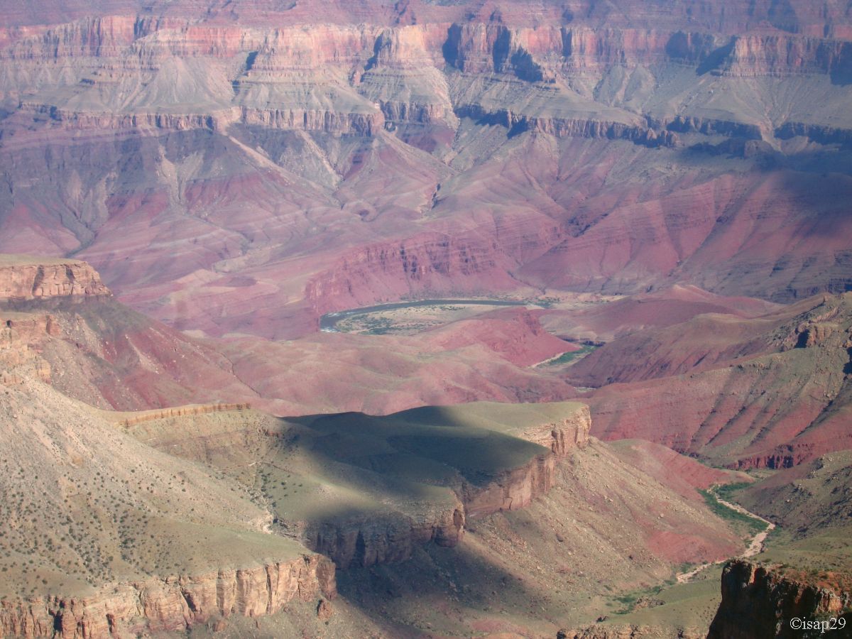
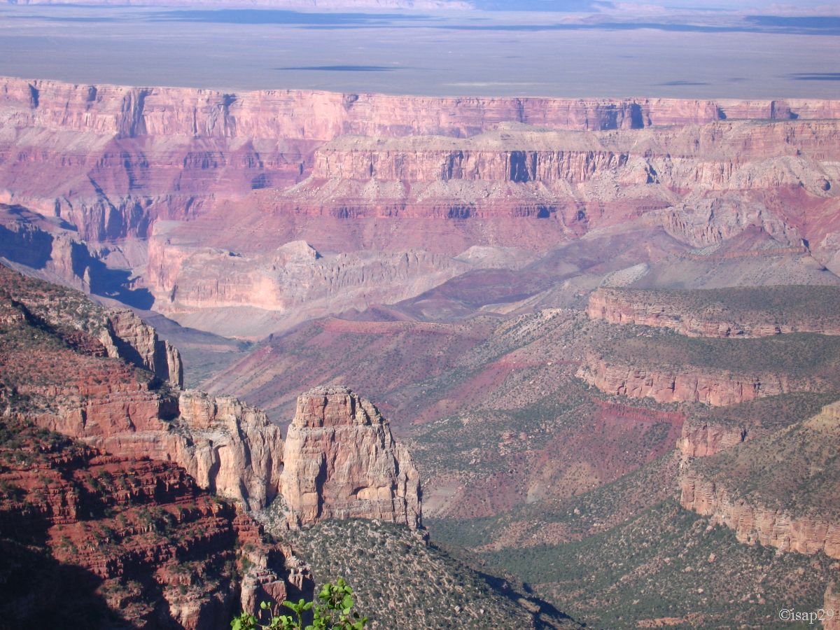
After the usual stop at VC at 2:19 pm, we arrived at 2:45 on the rim at Bright Angel Point (short hike) and rediscover the wonderful scenery of the Grand Canyon (it's aptly named), the outside temperature is only 61°F

_B-20.jpg)
_B-20.jpg)
_B-20.jpg)
_B-20.jpg)
_B20.jpg)
_B-20.jpg)
Bright Angel (12 photos)
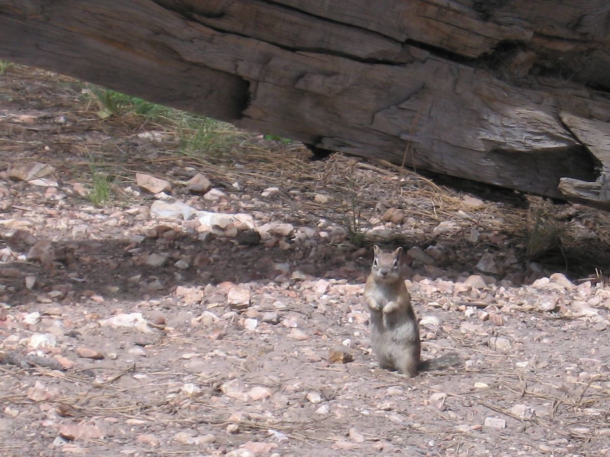
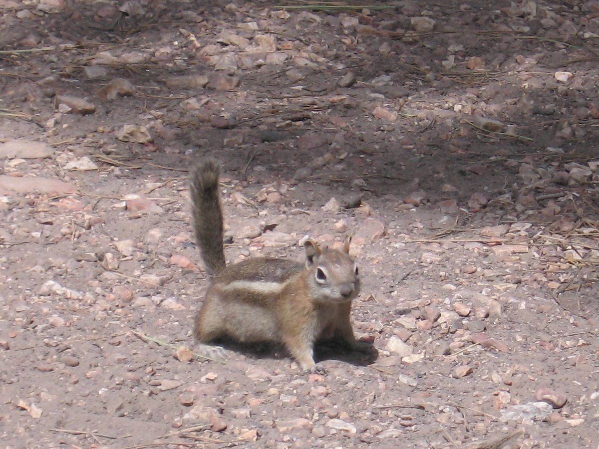
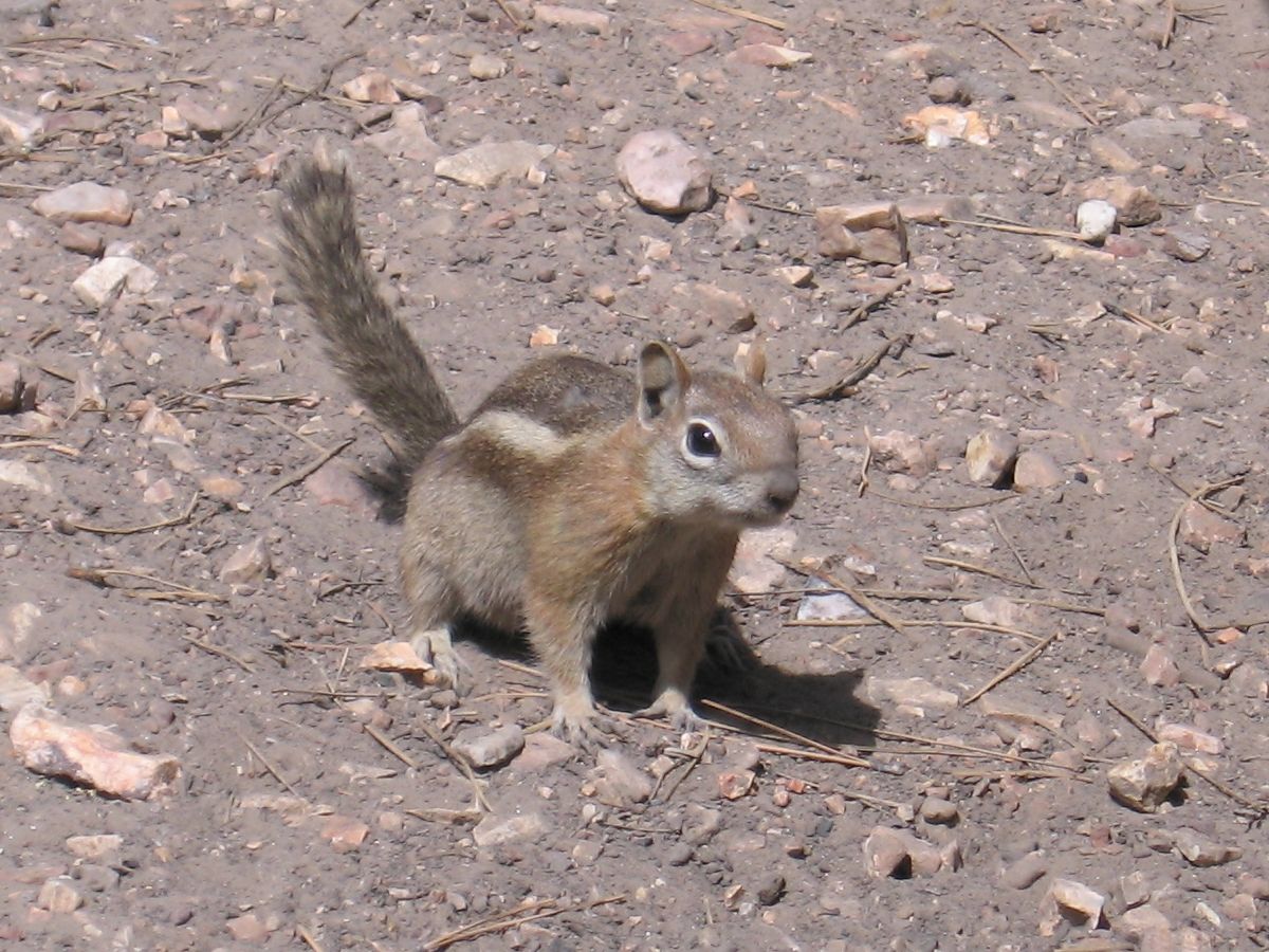
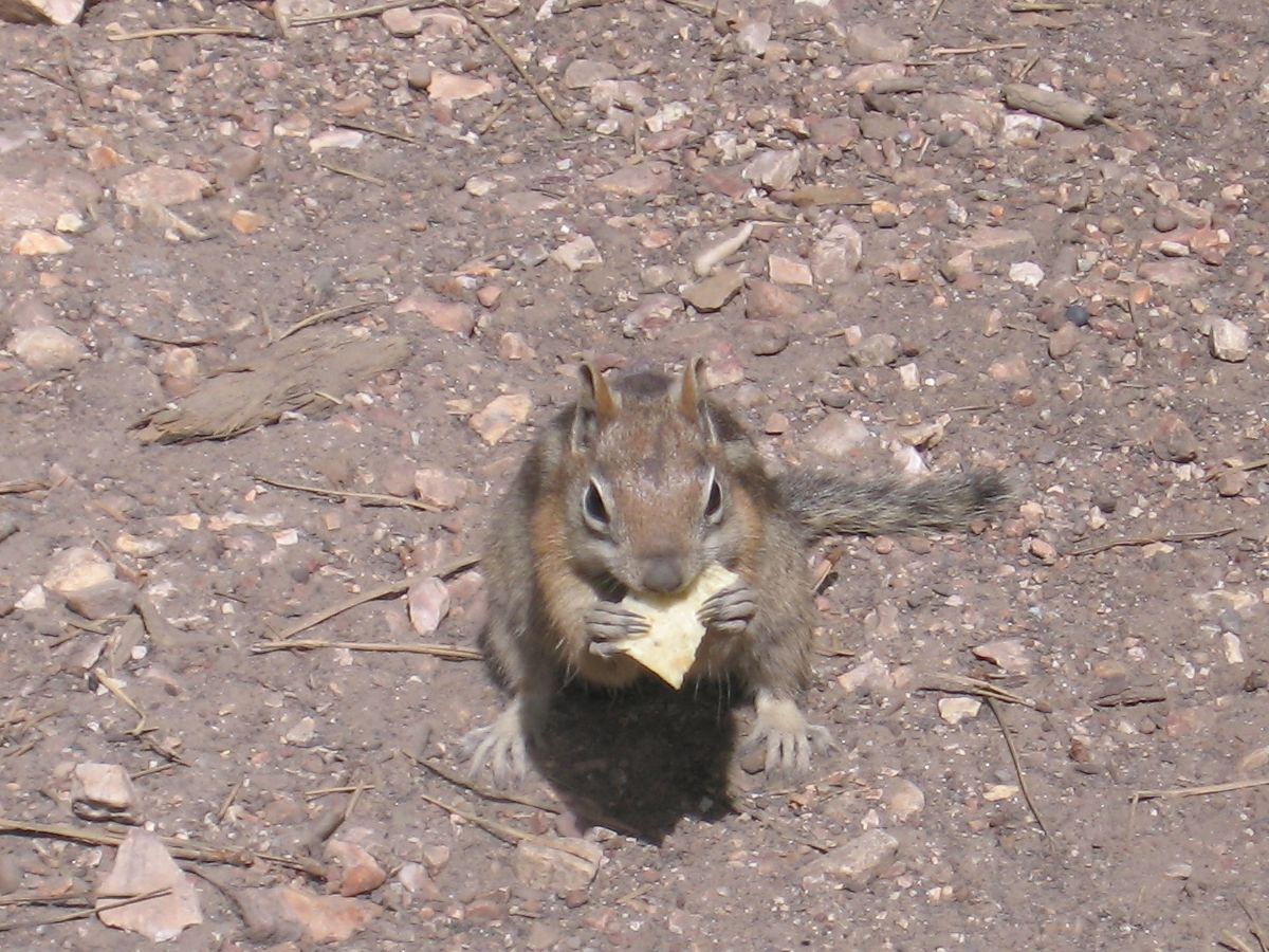
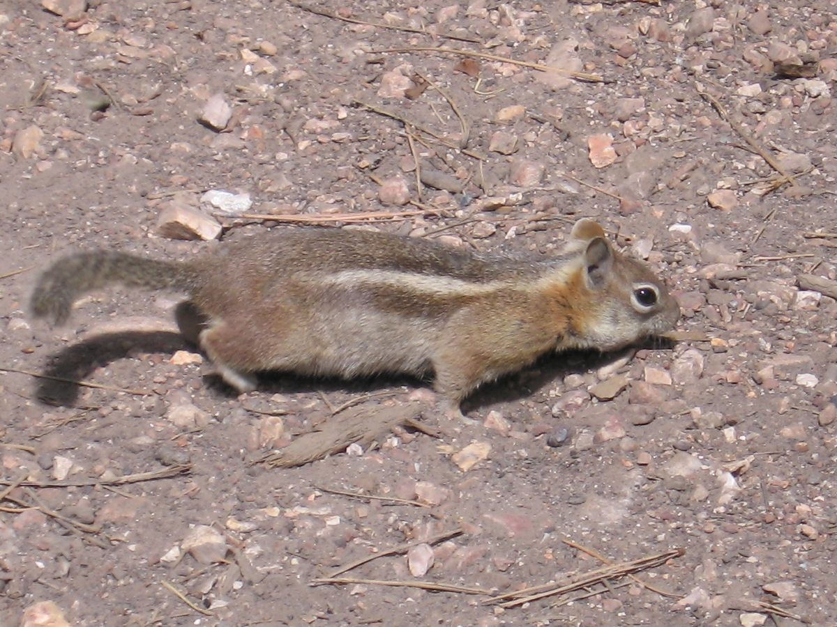
Around 3:30 pm, our stomach reminds us and we do the lunch break on the roadside. A table welcomes us with a pretty little squirrel, more interested in the crumbs of our meals than by us.
Squirrel (5 photos)
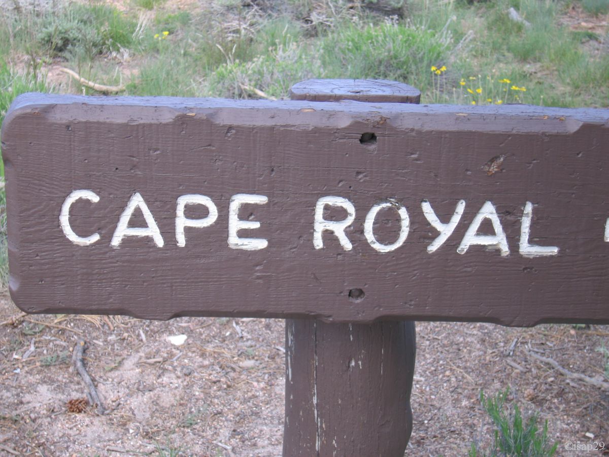
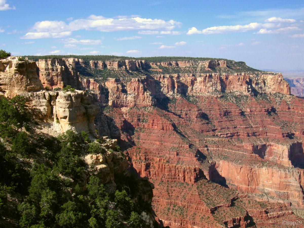
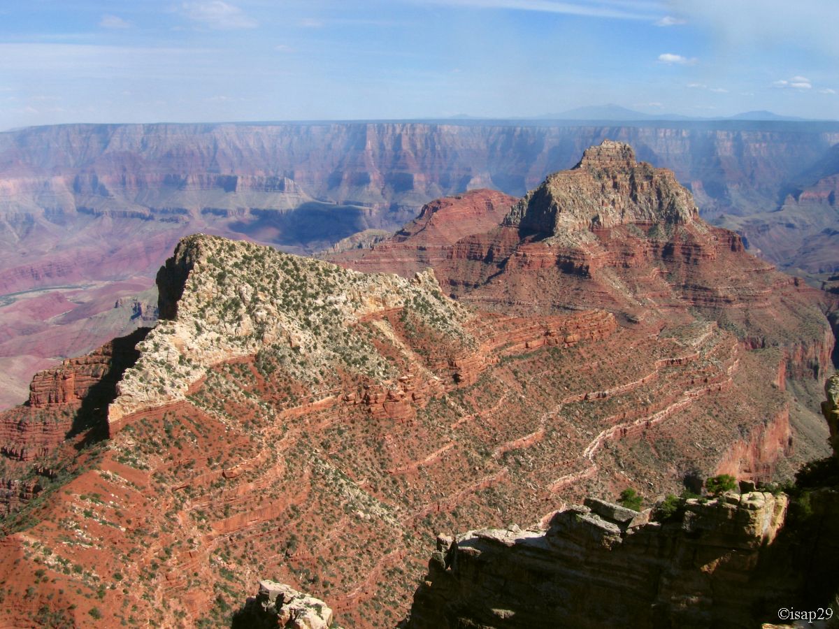
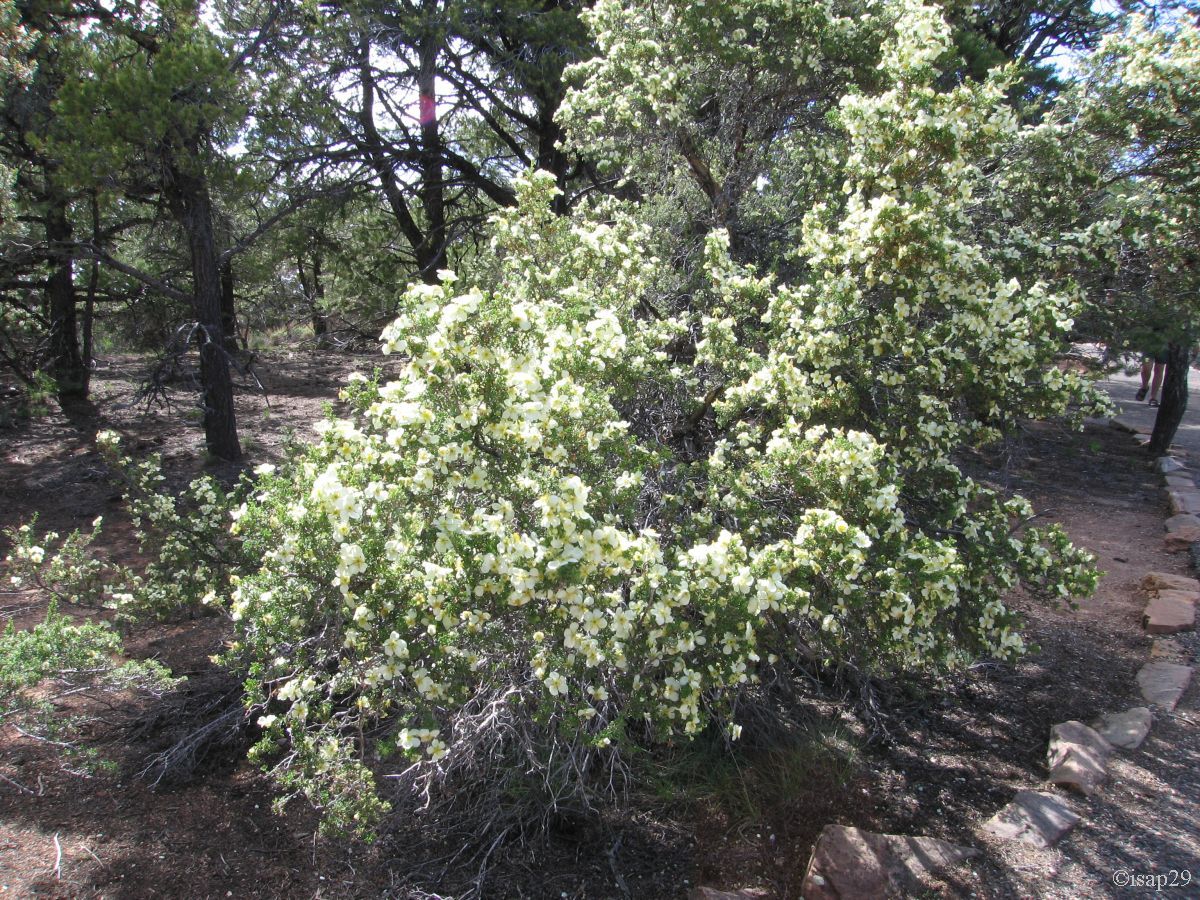
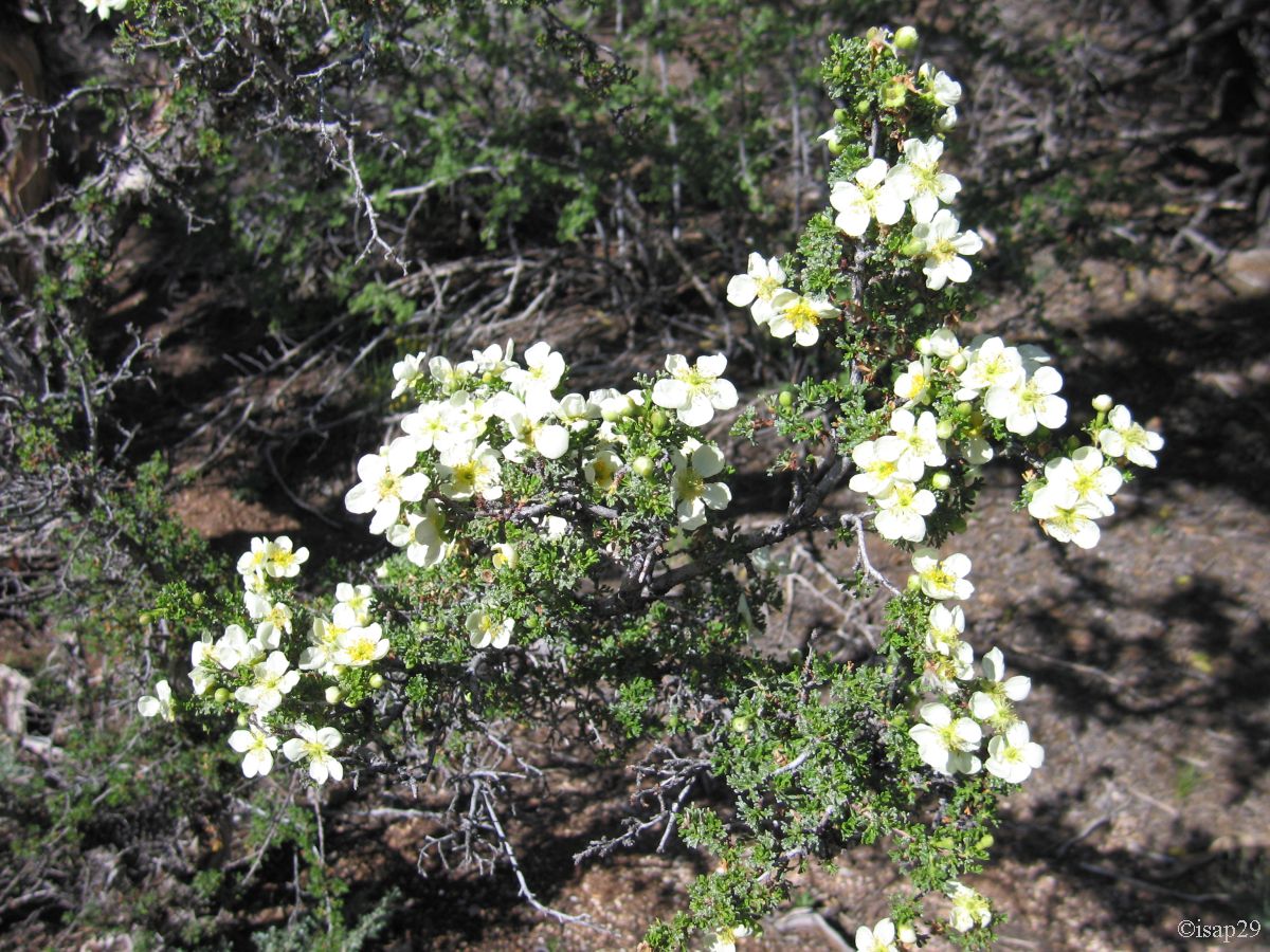
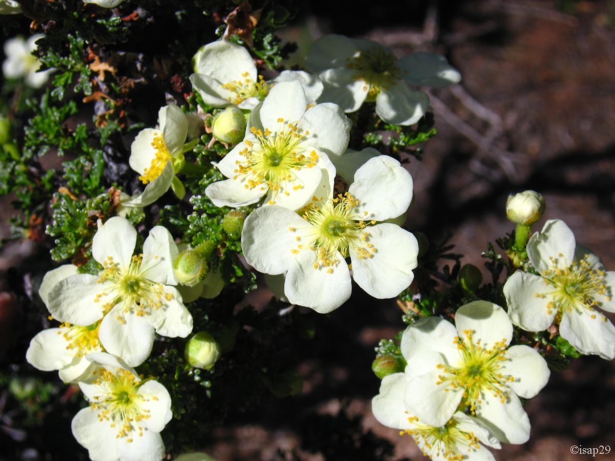
Then, departure for Cape Royal at the end of Walhalla Plateau where we arrive at 4:40, the road is long (23 miles), very curvy and windy.
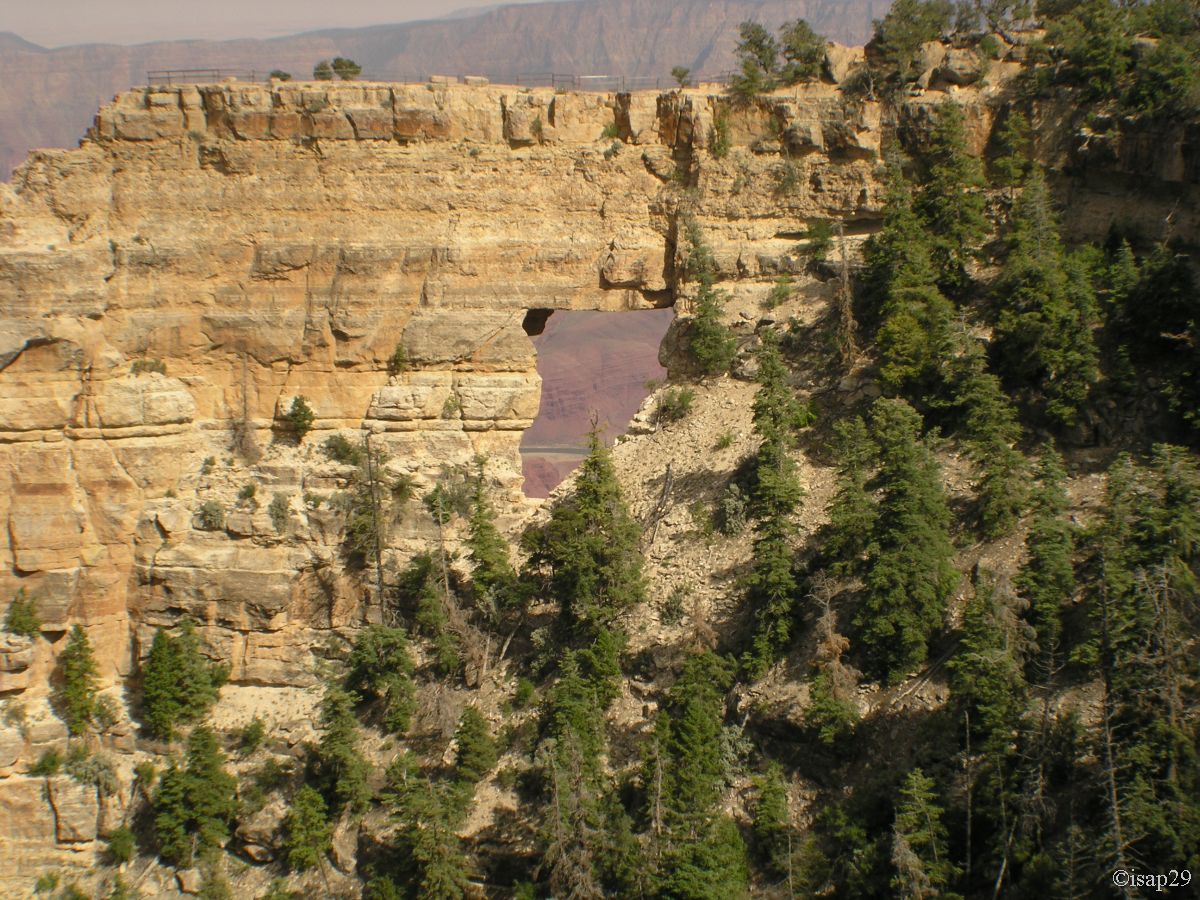
Cape Royal is the most southerly point of view of the North Rim. On the south shore (South Rim), there is a huge fire which we can clearly see
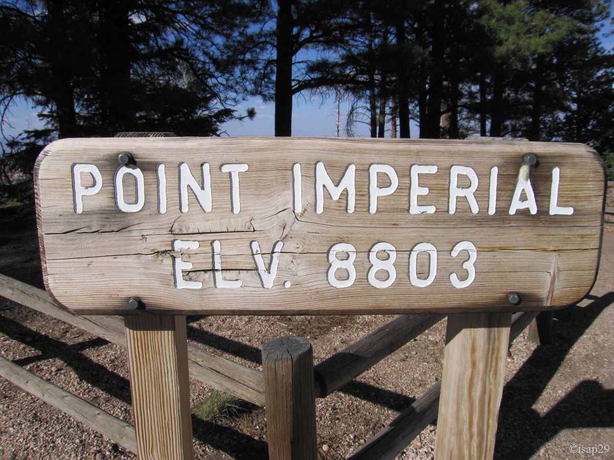
the plume of smoke. We leave with stops along the way to Walhalla Overlook, then Roosevelt Point and Vista Encentada to finish our quick tour of the park at Point Imperial.
_B-20.jpg)
_B-20.jpg)
_B-20_pf-1-5.jpg)
Cape Royal (16 photos)

_B-20.jpg)
Walhalla Overlook (3 photos)
.jpg)
.jpg)
.jpg)
 - ancre 95_gam1-4_B-10.jpg)
_ancres 93et96_B-10_gam0-85_cont30.jpg)
Points on way back (8 photos)
We leave around 6:30 pm and, later, encounter a herd of buffalo grazing peacefully.

Bisons (2 photos)
Around 7pm, we finally leave Grand Canyon North with a temperature of 66°F, visited a little too quickly. A bright sun illuminates the landscape
(as we had to return to Utah, we have not changed the time of our watches or our devices).
We cross Fredonia around 8pm, we find a car of Marshall at the entrance and one on exit; fortunately, I don't drive too fast! 
Shortly after crossing Kanab, we left the Hancock Road to enter Coral Pink Sand Dunes Area where, instead of staying a day, we'll stay only one night.
Après an attempt to find a small arch near entrance (the track seems too "sandy"), we still don't find an indication of the Ponderosa Campground
(in fact we saw a sign, but not the campground) and we drive on Yellow Jacket Road to stop near an empty corral where we spend the night (wilderness camping).
We switch off the lights at 10:40 pm, after emptying the cards of our cameras.
