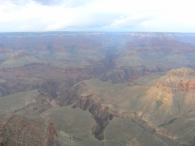
Grand Canyon, south rim
![]() version française
version française
Pictures are small in size and grouped in gallery; just a click on it and you'll have all the gallery in bigger size!
Easy navigation with left or right arrow on the keyboard; leaving the gallery photo by Escape.
Do not forget to switch to full screen (F11). Javascript is required.
Journey map
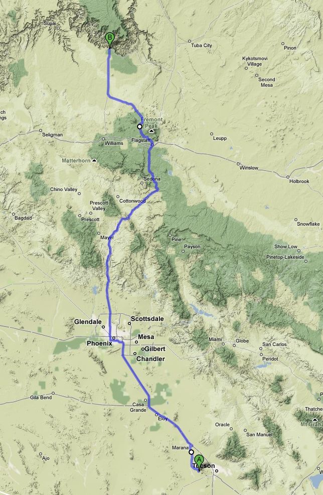
Approximately:
- from Tucson (A) to Grand Canyon south rim (B): 335 miles and 5:45 on road
Saturday, May 23 (continued)
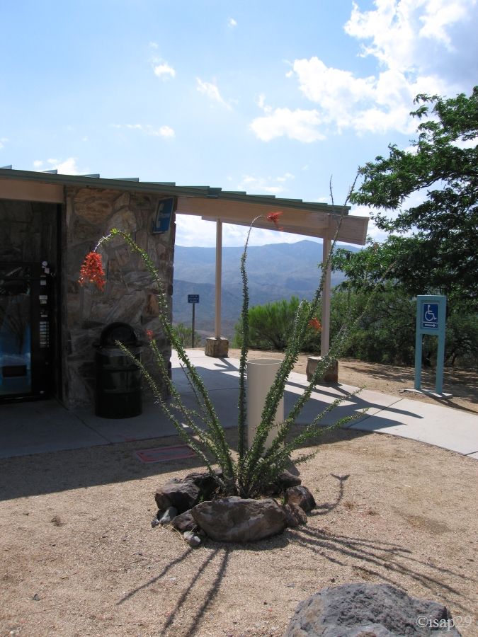
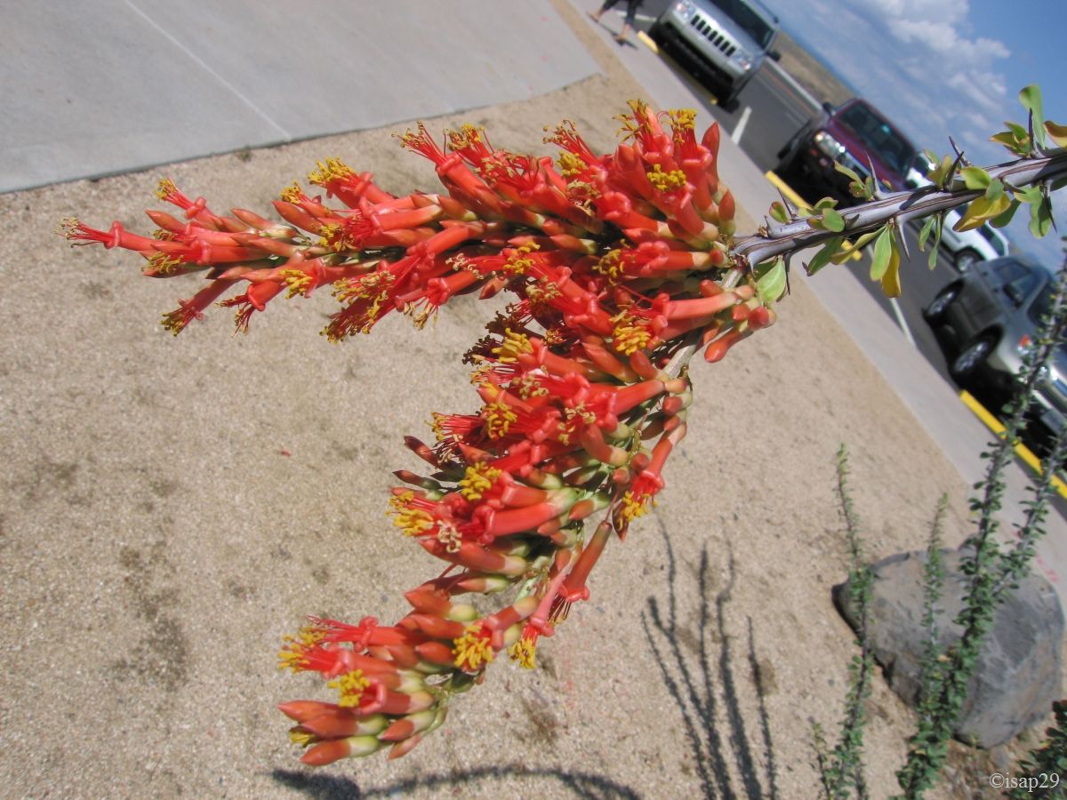
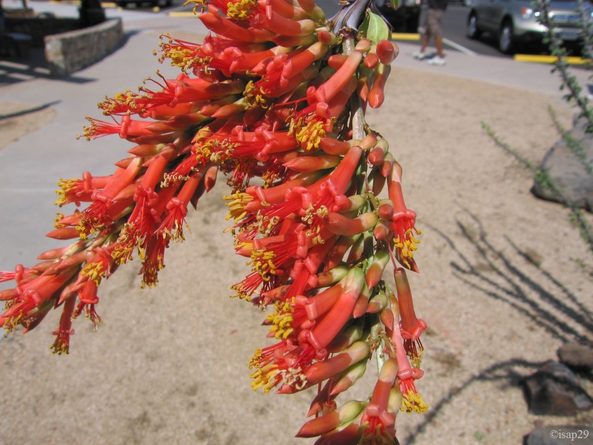
Departure around 11:10 for Grand Canyon South, via Phoenix and road works north and south. Saguaros are found again and the ground turns red. Quick snack at Sunset Point Rest Area, between Phoenix and Flagstaff on I17 (82 °F), with a beautiful ocotillo.
Near Sedona, heavy rain. We don't regret not having expected to stop despite numerous
recommendations; it will be for the next trip  .
We're at 5,000 ft at mile 304 and it does only 66°F. The trees are green and there is no more cacti.
.
We're at 5,000 ft at mile 304 and it does only 66°F. The trees are green and there is no more cacti.
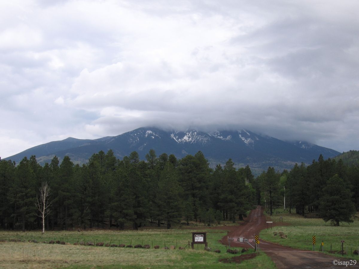
The road continues to climb (6,000 ft at mile 311) and passes through a forest of conifers. At Munds Park (near Flagstaff), very dark gray storm clouds, and very early, a big rain comes banging on the car, it does only 52 °F. After Flagstaff, we take the scenic road 180 which crosses in the area of 8,000 ft, a forest of conifers and aspens with white trunks.
Towards Grand Canyon South (7 photos)
Rapid transition at "toll" of Grand Canyon South due to our Pass; there are remnants of snow on the low side. We take possession of our site (No. 293) at Mather Campground to 5:53 pm. Finally, the road has not seemed too long, even if the road works before and after Phoenix have slowed down much.
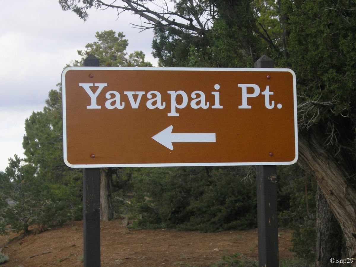
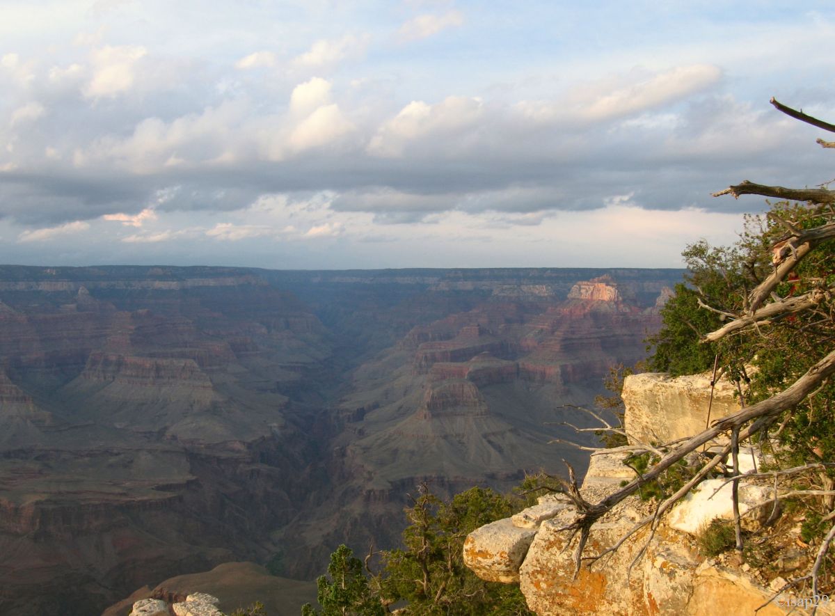
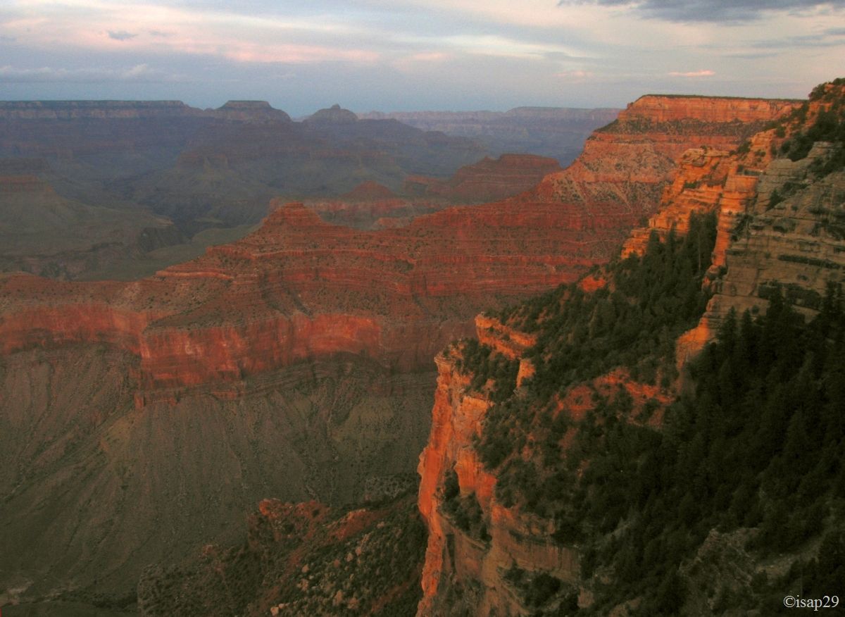
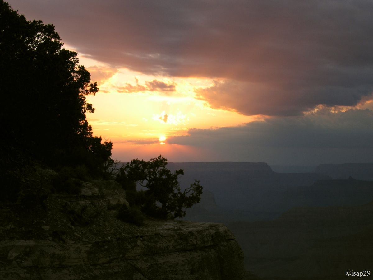
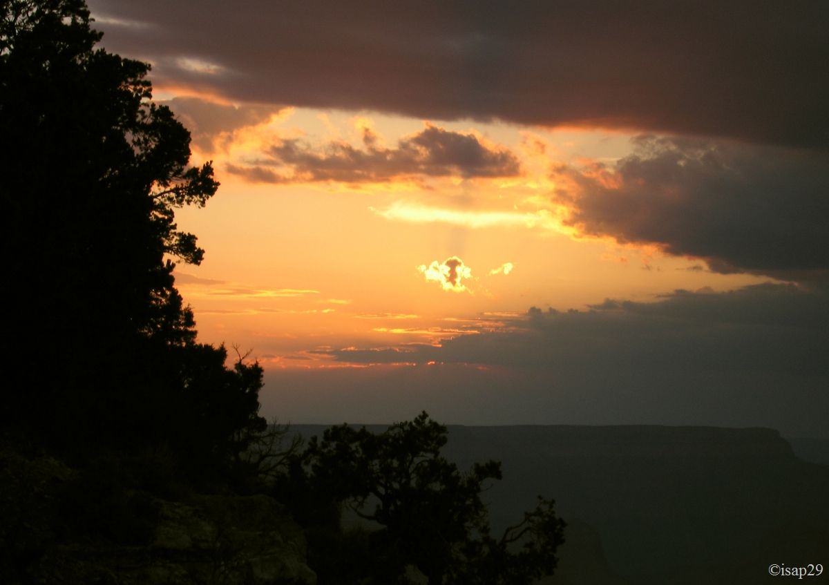
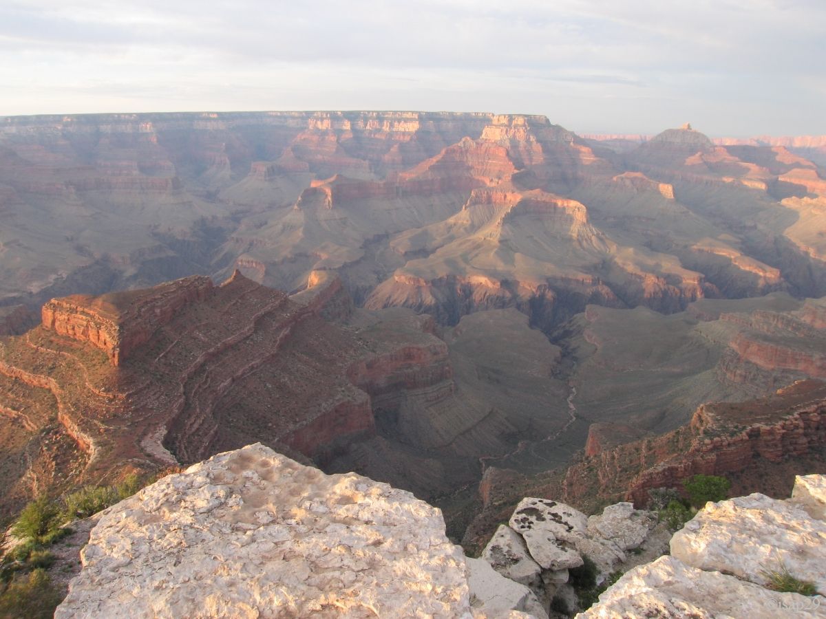
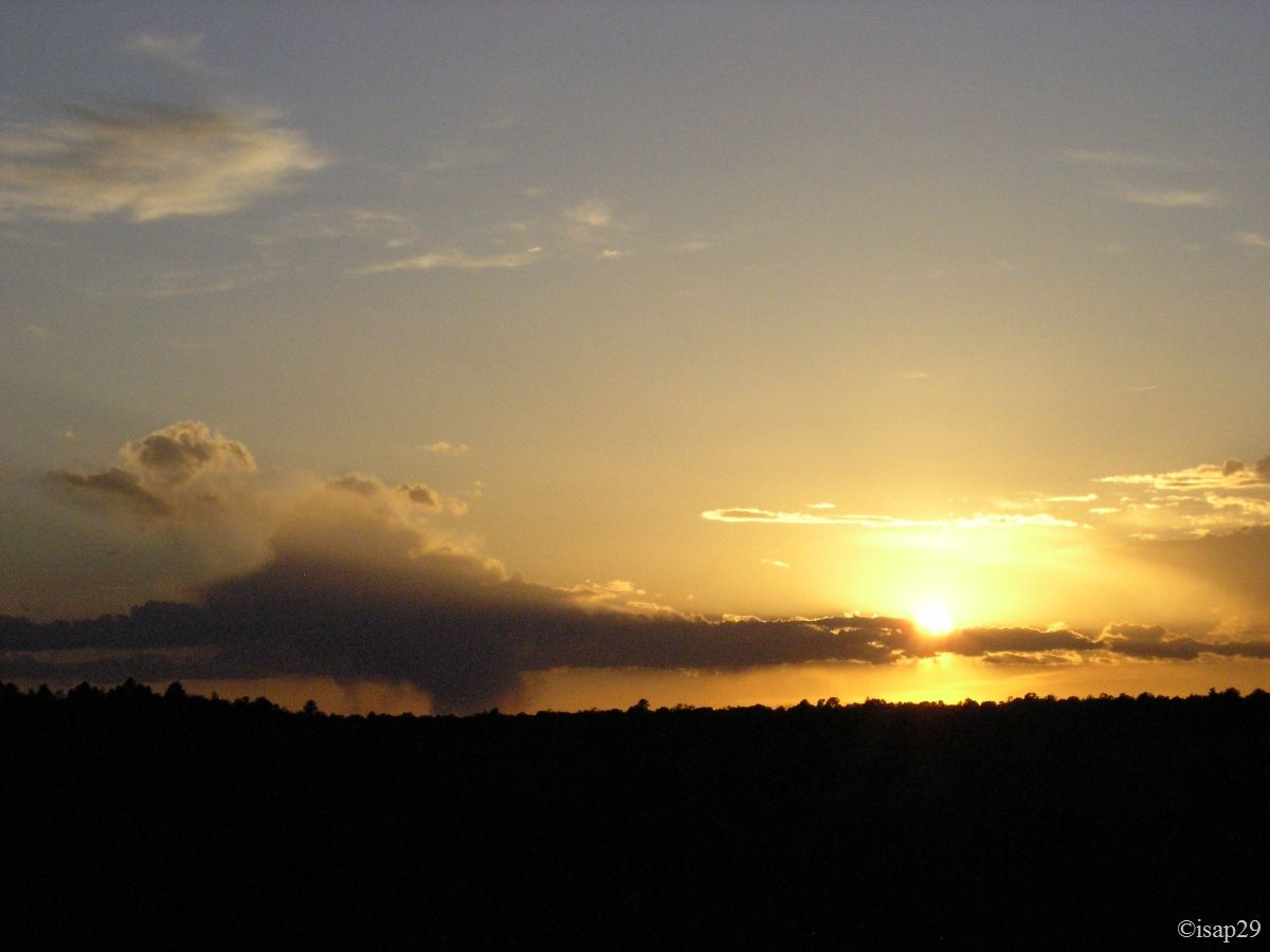
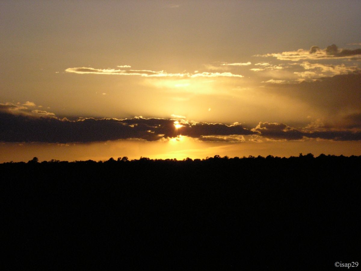
We start walking to Yavapai for sunset. We hope that the large cloud will not disrupt our first visit to this natural phenomenon.
-B-15.jpg)
_B-15.jpg)
-ajust.jpg)
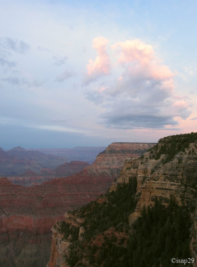
Sunset at Grand Canyon South (12 photos)
8 pm, end of the shoot and we return to camp.
Sunday, May 24
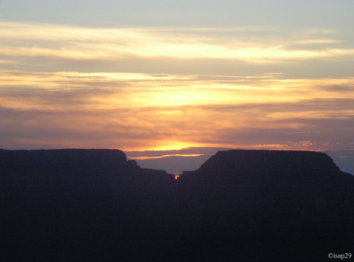
We wake up at 4 am to see the sunrise at Yaki Point. Quick steps to catch the blue shuttle and then the green shuttle after a little waiting at Info Plaza.
A squad of Japanese is mounted at Market Plaza, presumably for South Kaibab Trail. We arrive at Yaki Point at 5:05 with a sky still quite cloudy; it's a bit cold but it makes sense for the time. We are not alone, but it's far from the crowd of yesterday.
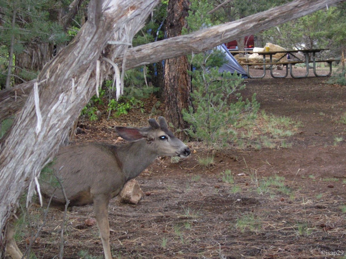
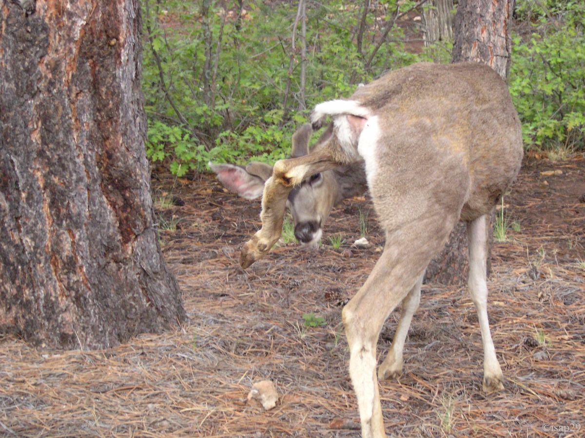
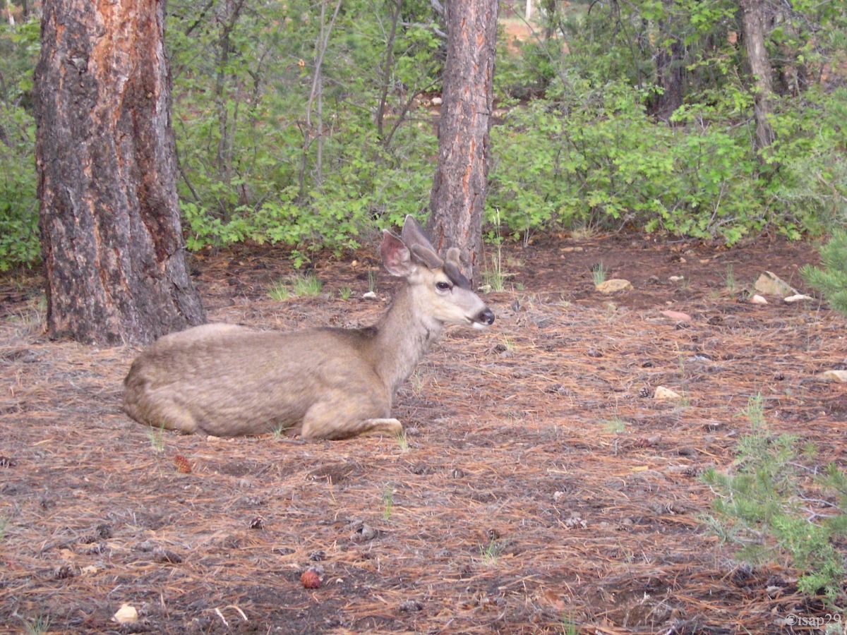
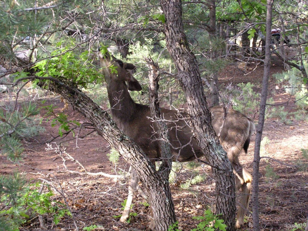
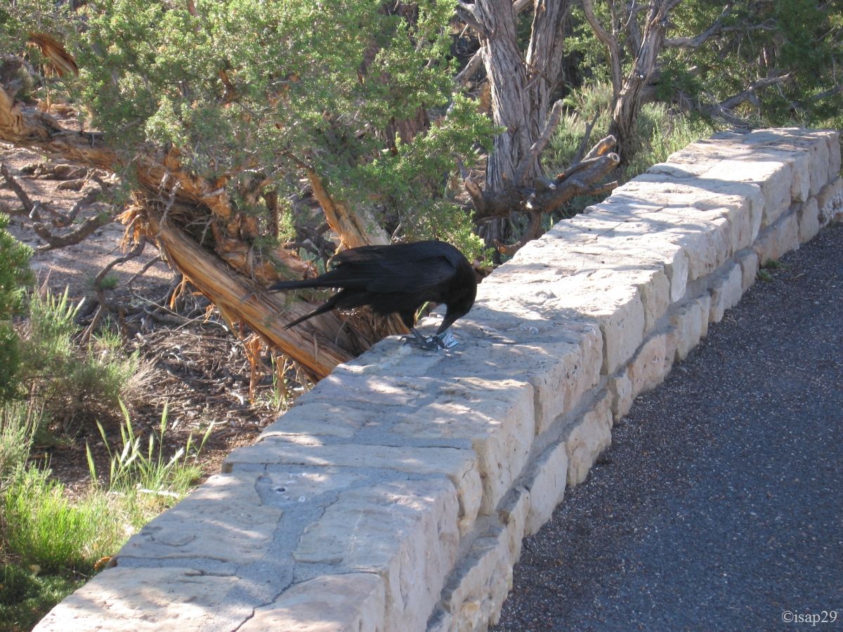
Back at camp around 7 am after seeing mules deer near the Visitor Center and inside the campground.
_B-18.jpg)
Sunrise over Grand Canyon South (7 photos)
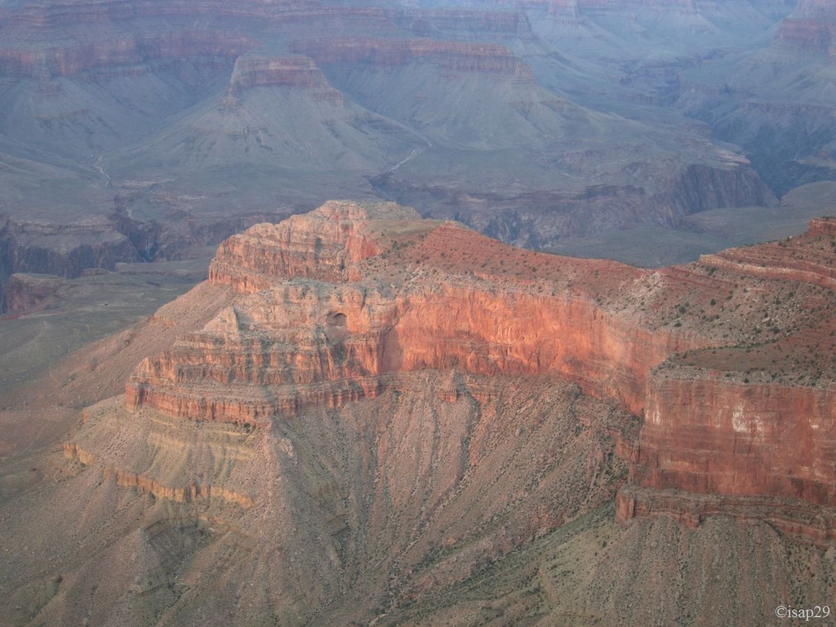
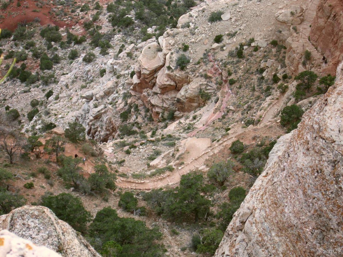
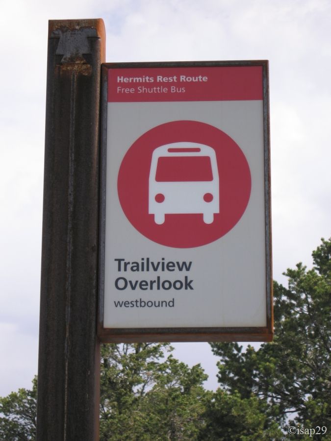
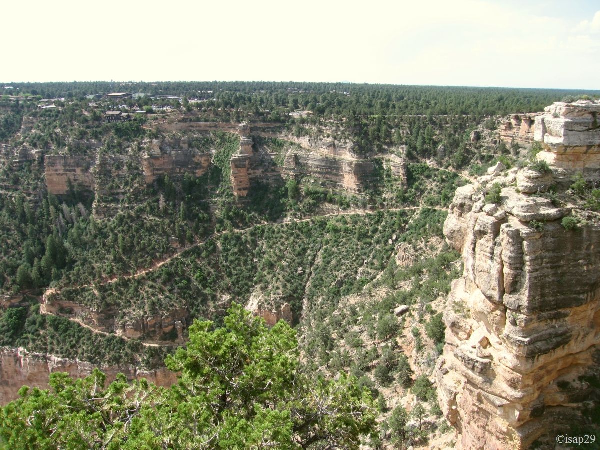
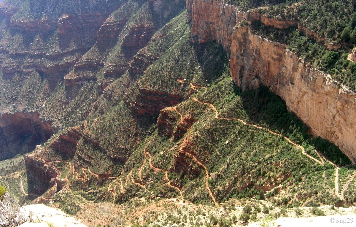
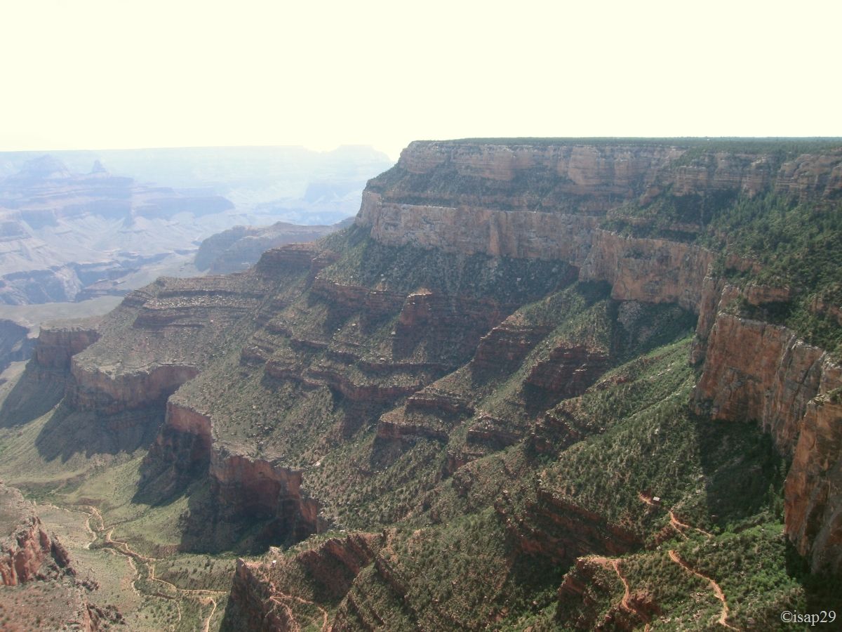
After a good breakfast and washing dishes, starting about 8:15 to Hermit Rest (54 °F) and almost an hour later, we start with an overview at Trailview Overlook
on hiking trails within the canyon. The beginning of Bright Angel Trail gives an idea of the hike up the canyon .
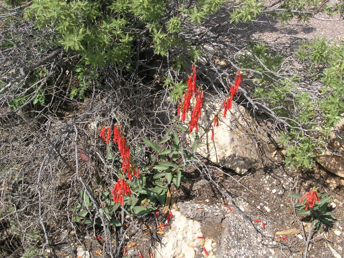
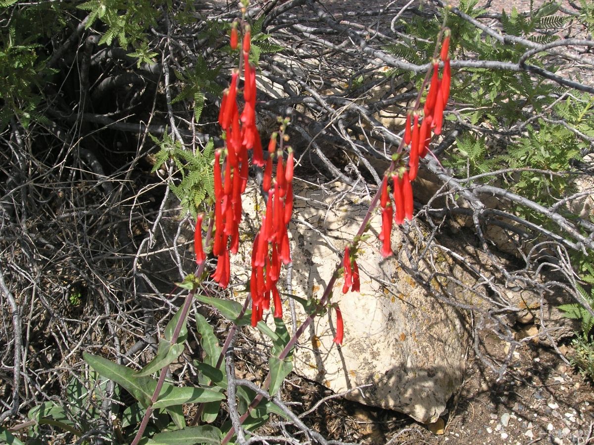
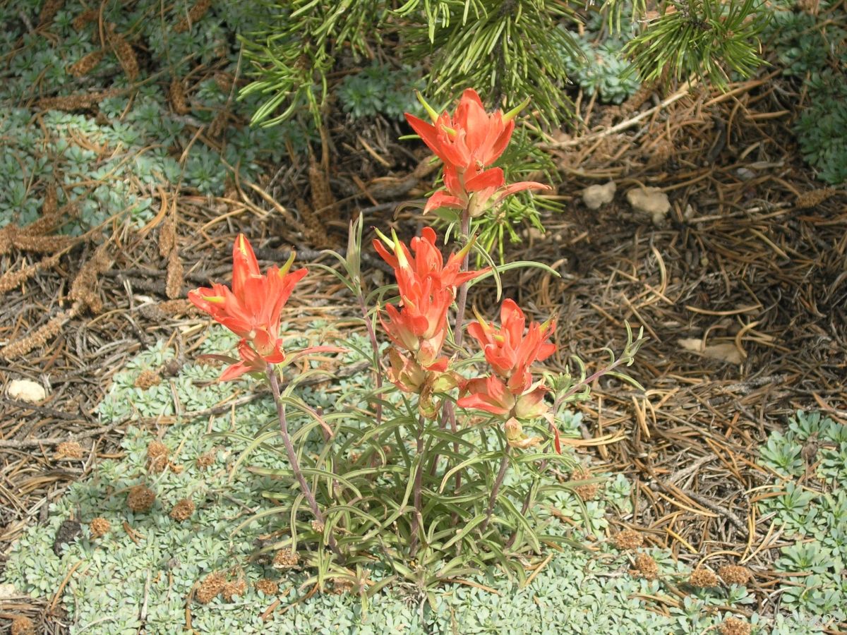
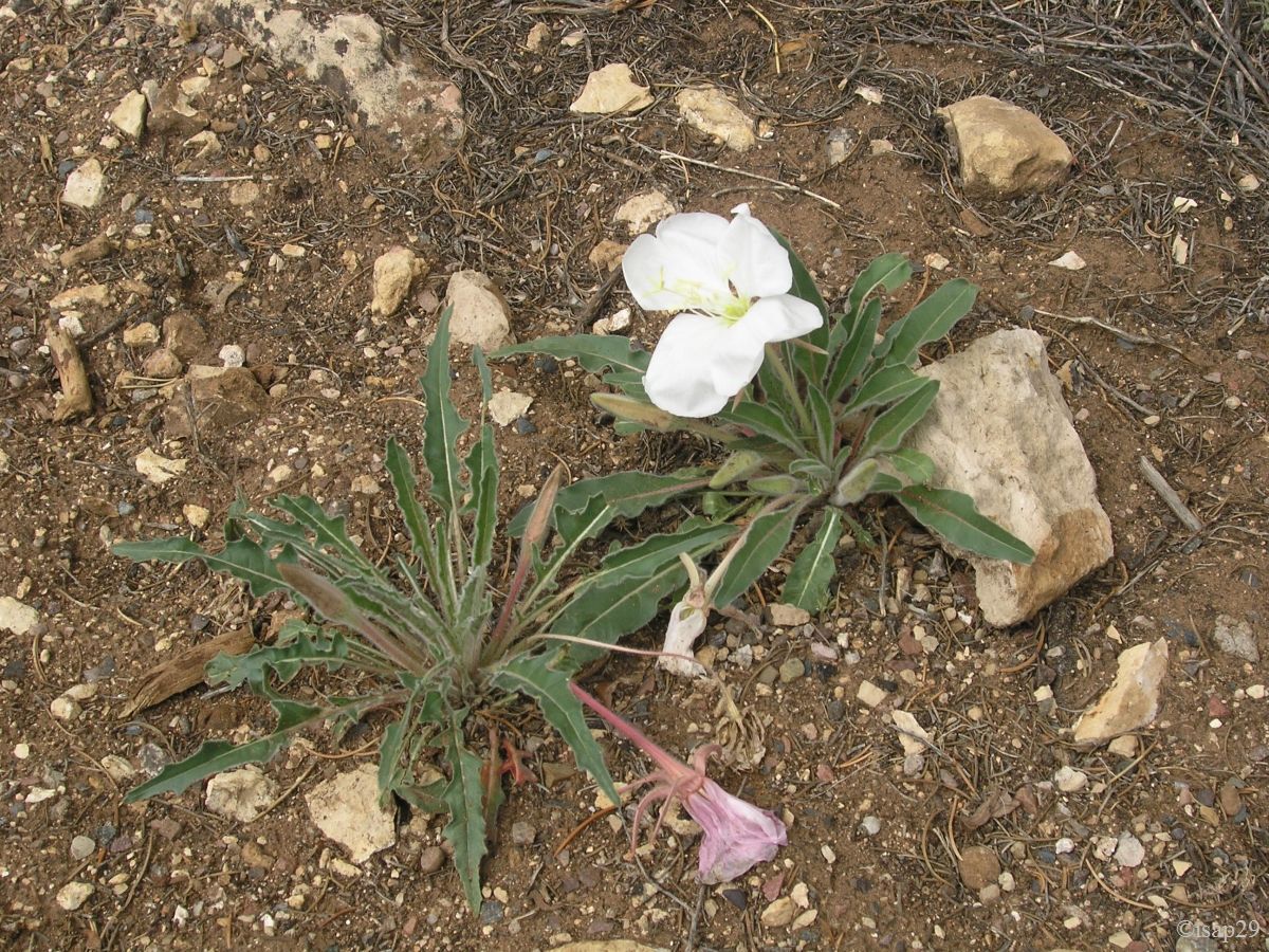
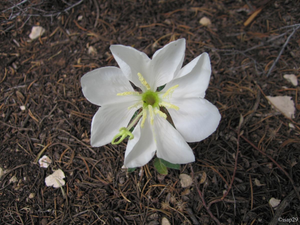
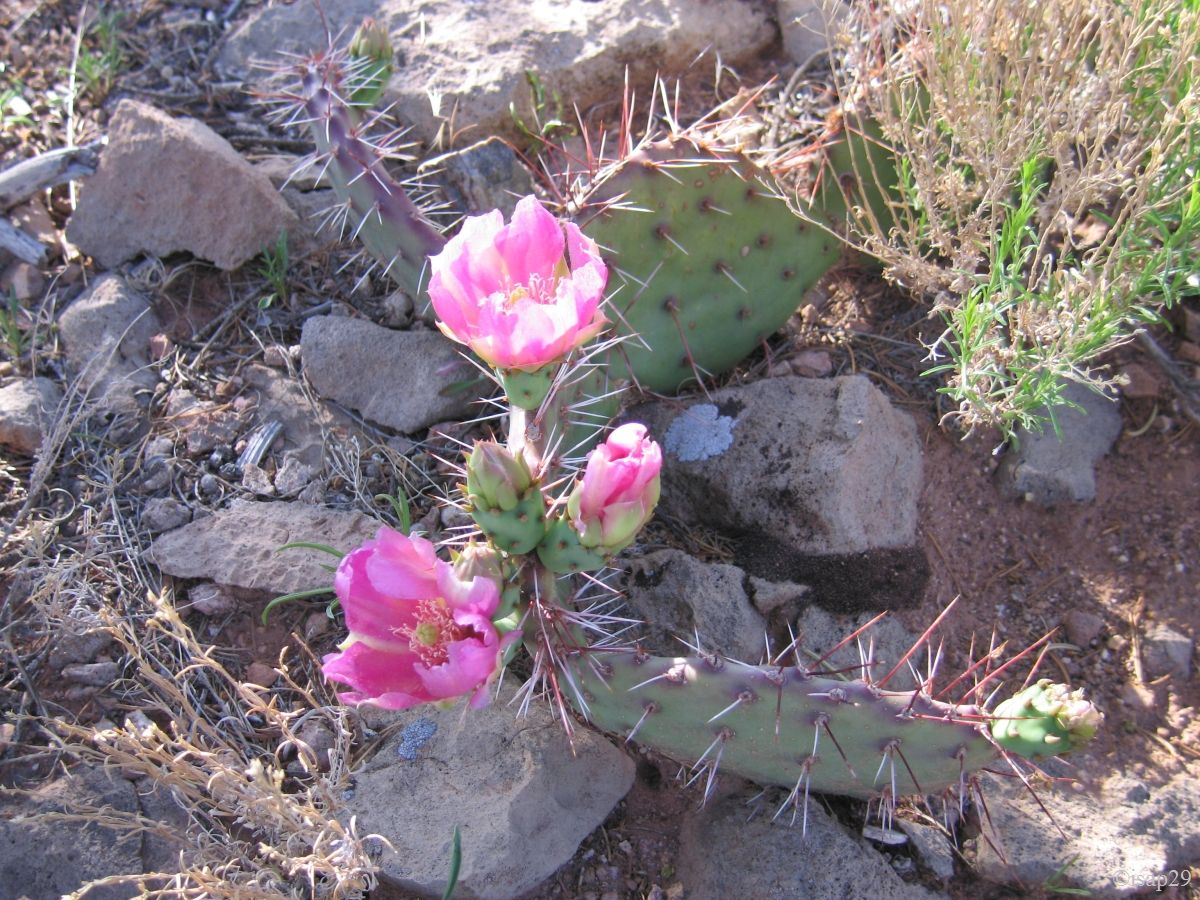
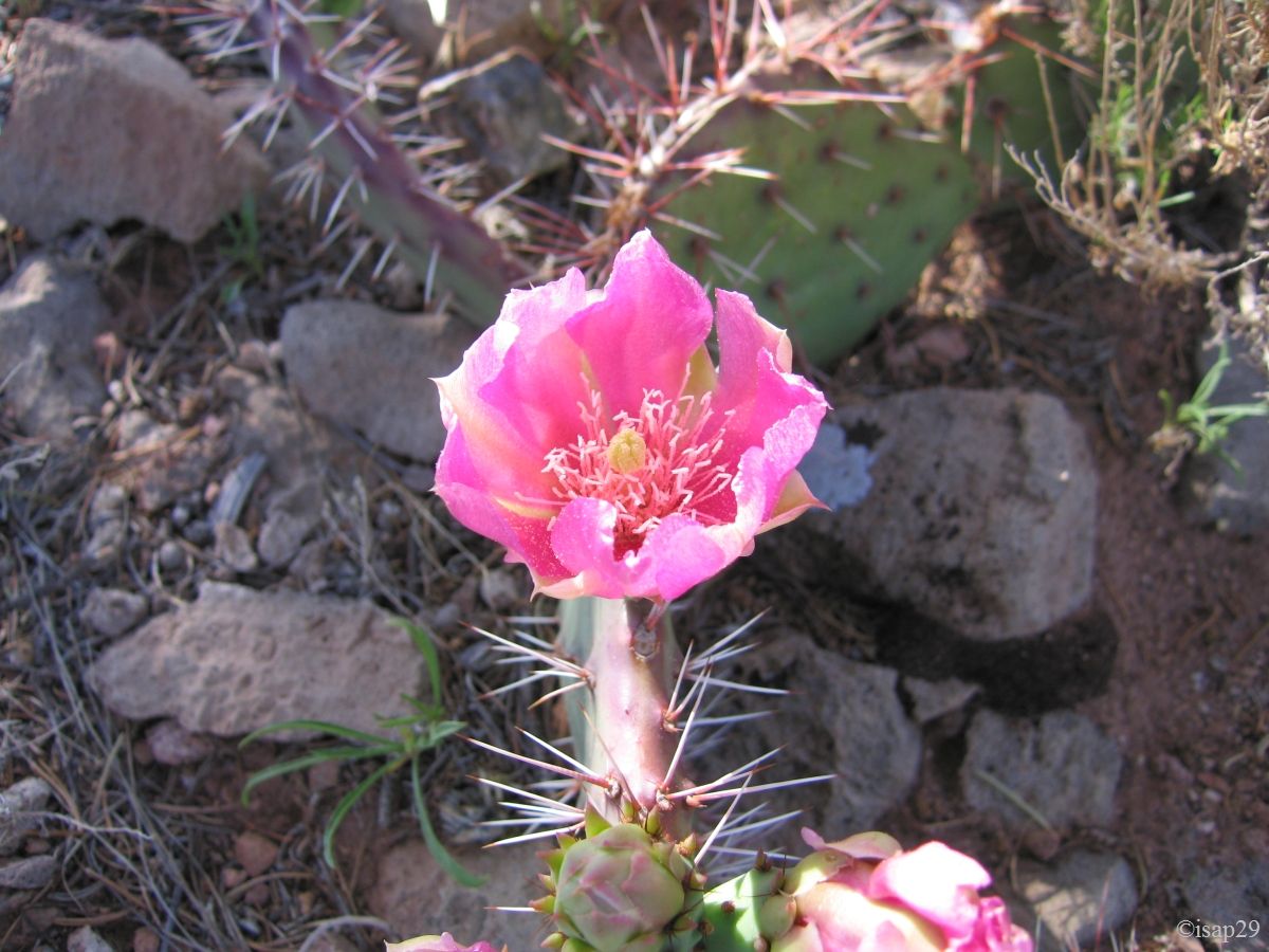
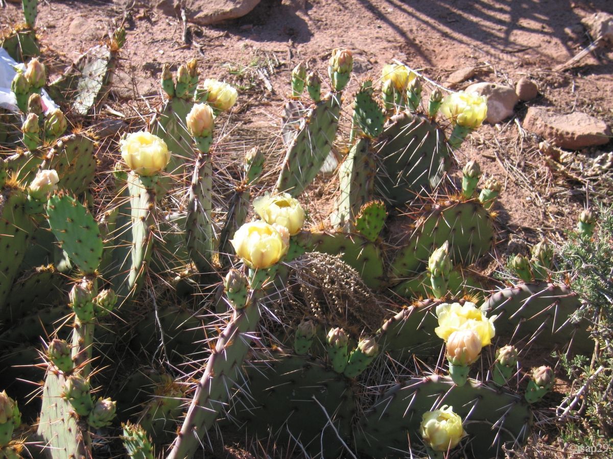
Some flowers embellish our first steps.
-ajust-gamma0_68.jpg)
Hermit Rest (11 photos)
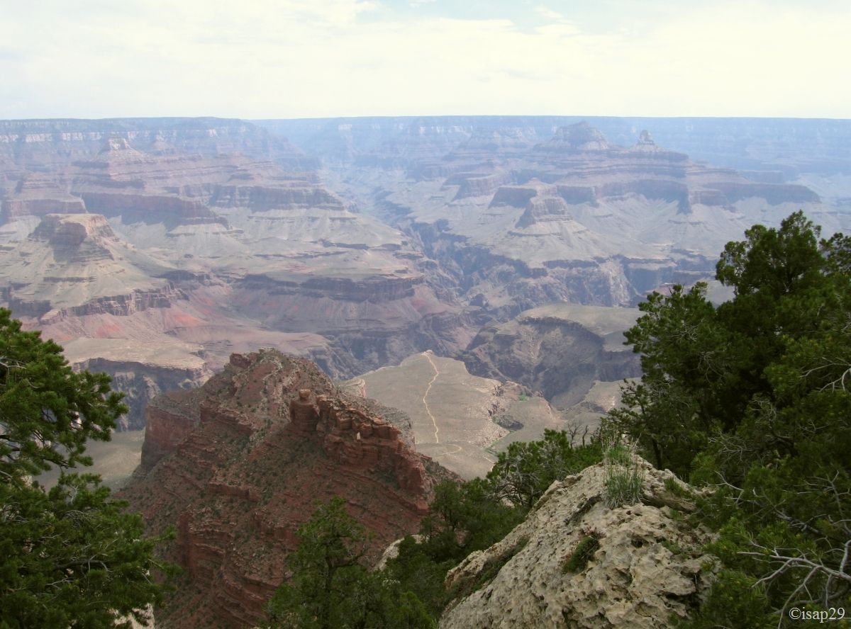
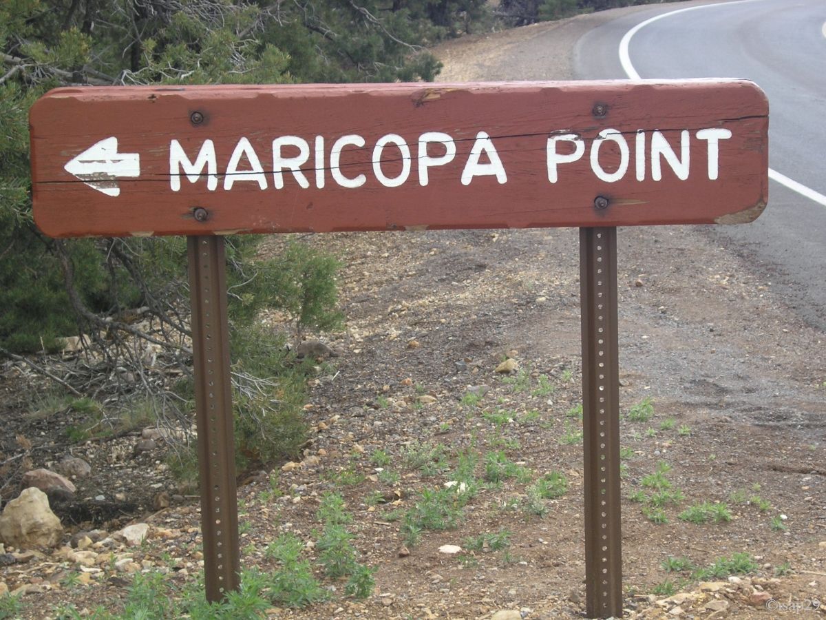
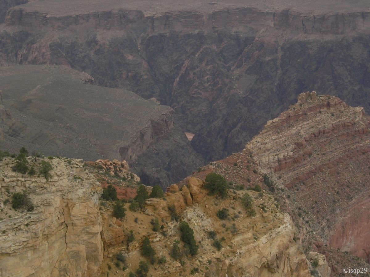
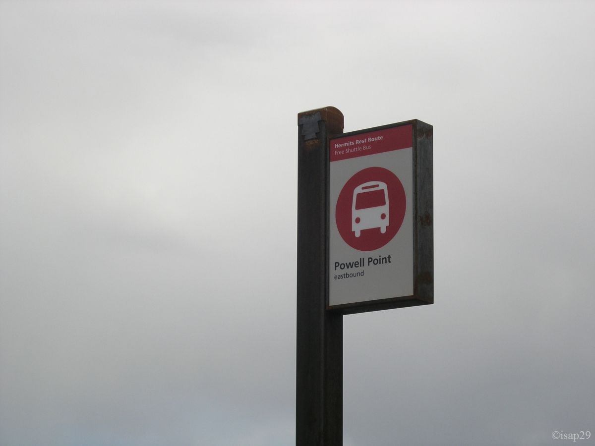
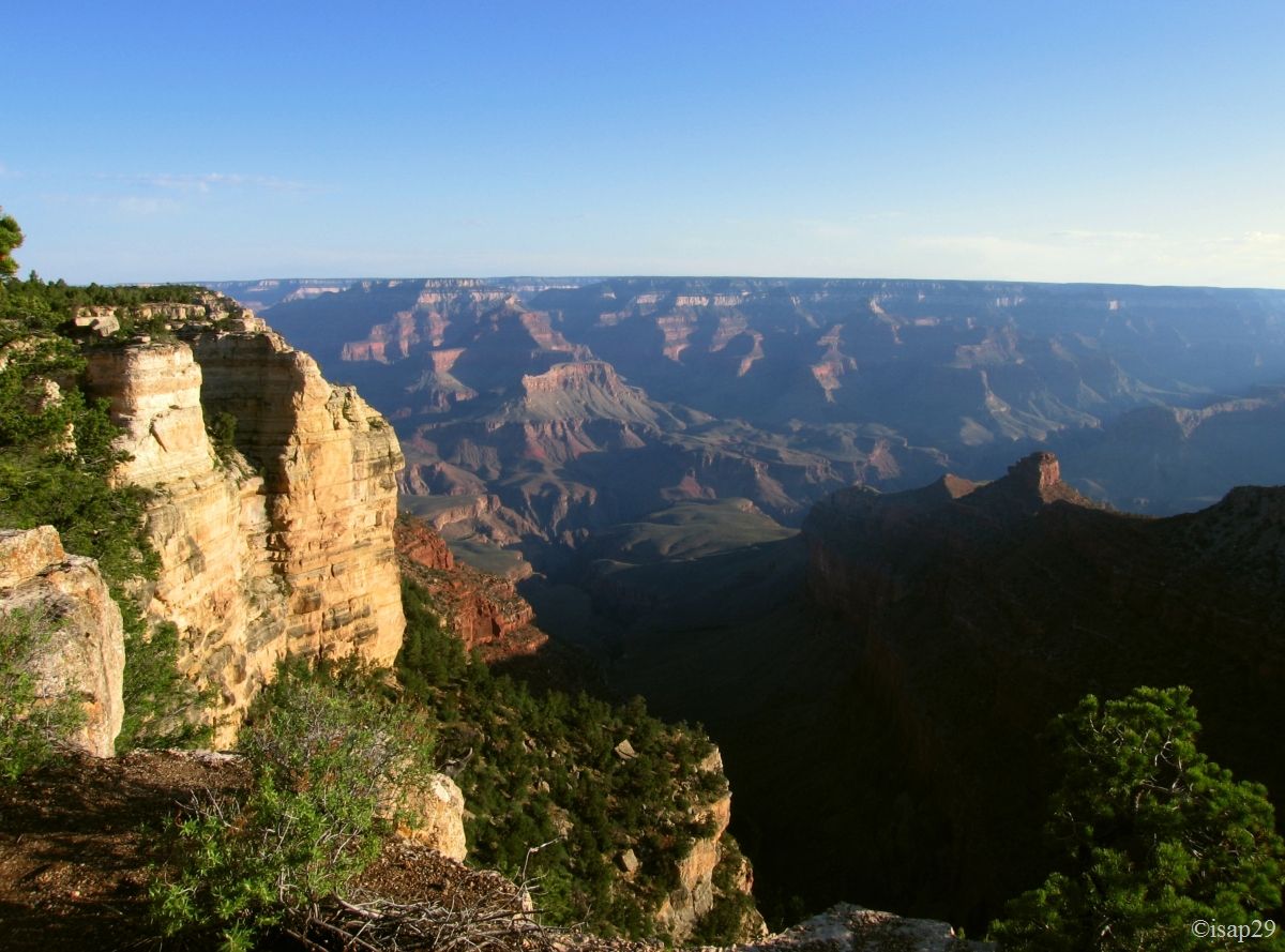
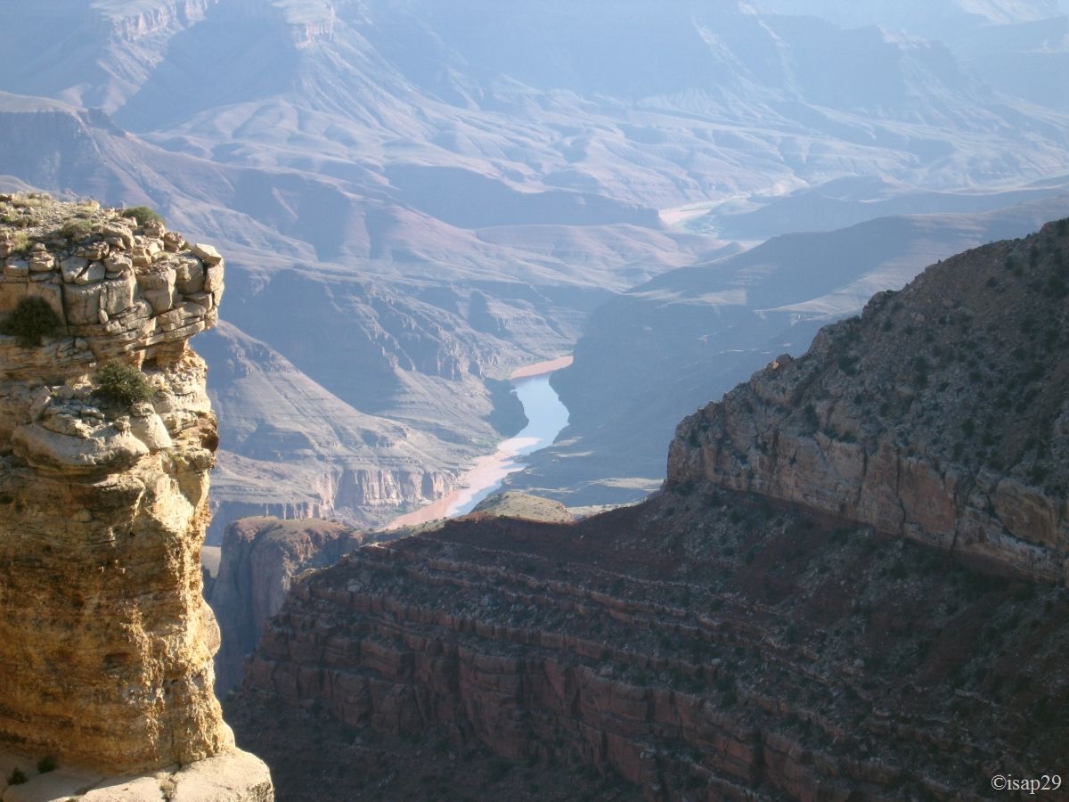
After passing successively at Maricopa (cold and rain) and Powell Point, we arrive at Hopi Point, where we finally find a fairly clear view
on the Colorado River. A Florida resident tells us that the Colorado's muddy colour is due to storms of the preceding days. We take this
opportunity to talk a little with him, among other things of Europe that he had visited, of the Grand Canyon he has already seen when
there was no guard rails everywhere.
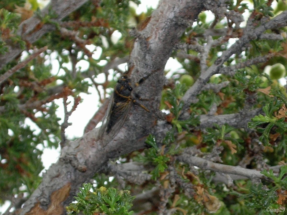
Near the end, I manage to surprise a local species of cicada.
-ajust.jpg)
-ajust.jpg)
-ajust.jpg)
-ajust.jpg)
-ajust.jpg)
_B-15.jpg)
Hermit Rest - continued (11 photos)
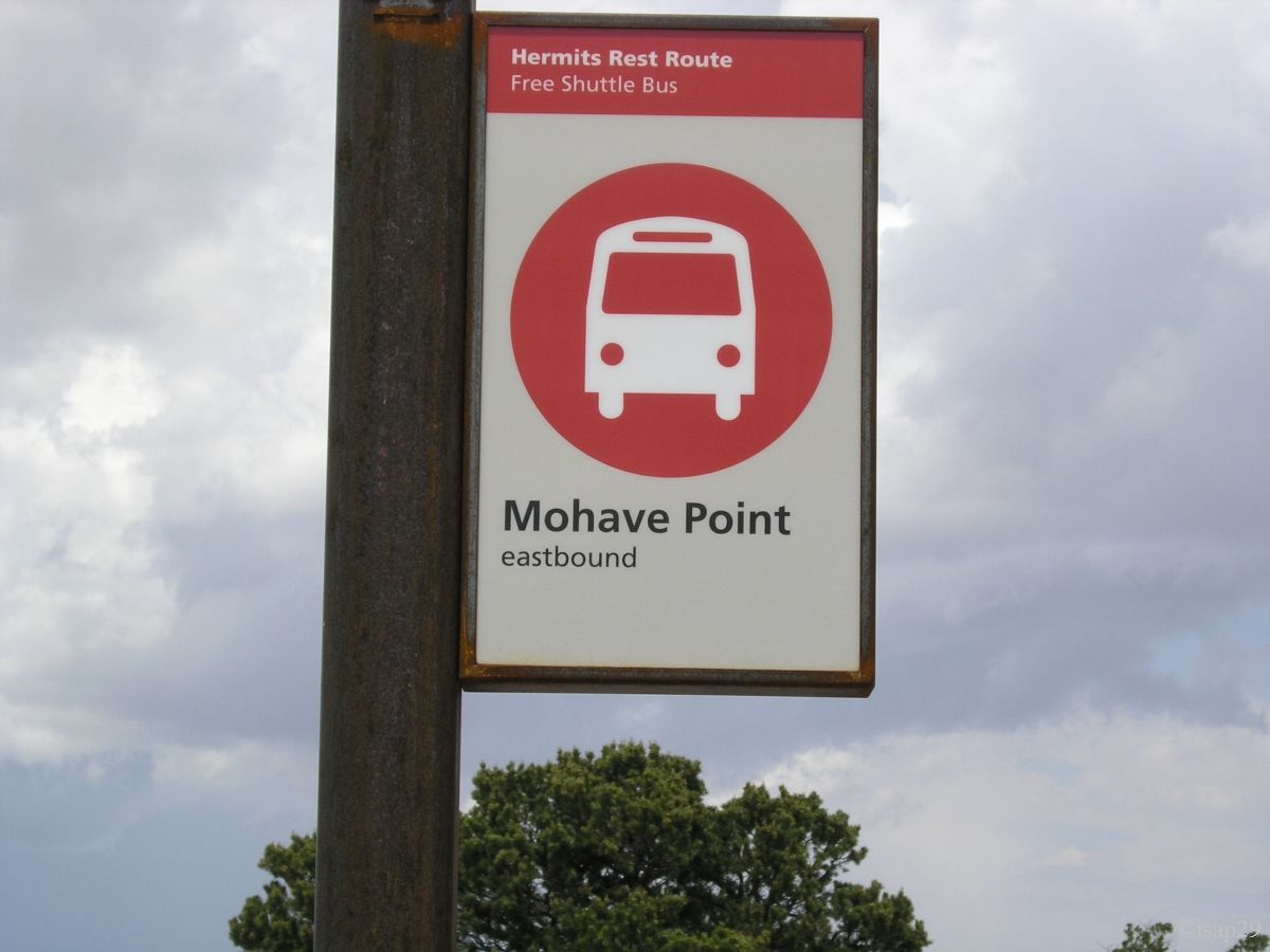
From Hopi Point to Mohave Point, it is imperative to make this part of hike and, if you have only little time to spend here, then at least make it, the view is so beautiful. The sky stays fully charged and clouds darken the landscape significantly.
-ajust.jpg)
_B-18.jpg)
_B-18.jpg)
_B-18.jpg)
_B-18.jpg)
-ajust.jpg)
Hermit Rest - end (9 photos)
Back to the camp and discussion with the shuttle driver about stops: it does not stop where I expect and she tells me that the map of French document is false and it's best to refer to the English one.
We arrive at Hermit Rest Transfer a little past noon and I take our cell phone to call my father for his birthday (and thank you to JP who has helped out). The end of the conversation takes place under storm (rain, lightning and thunder).
We arrive at camp and see again mules deer. Rain once again which forced us to eat inside our car; the cooler is running as well as the UPS to recharge
the batteries of cameras. At one point, the UPS emitted a shrill whistle and stops; I suspect a malfunction but no, it's just the battery of the car
that just passed under a certain threshold (12 volts?).
Obviously, unable to start engine! Bad luck (and I stay correct). What to do? I look for in the lease (Alamo) and don't find much. We decide to try to call
on a landline (our cell package is limited); there are cabins at the camp entrance. No problem for joining them but complete misunderstanding on the phone.
I finally ask a member of the team camp (Gloria, very friendly and very helpful) who, after more than 10 minutes on the phone with Alamo, sends them stroll
and she calls a local convenience stores (with our agreement, of course). Meanwhile, Alamo had imposed a contract to "Breakdown service" to help us
(I can't remember the amount).
Appraisal: an hour later and $75 less in our wallet, the engine starts (intervention of less of 3 minutes, not a good thing for Alamo). The repairman also
advises us to present the bill on our return at Alamo, what we will not fail to do  .
.
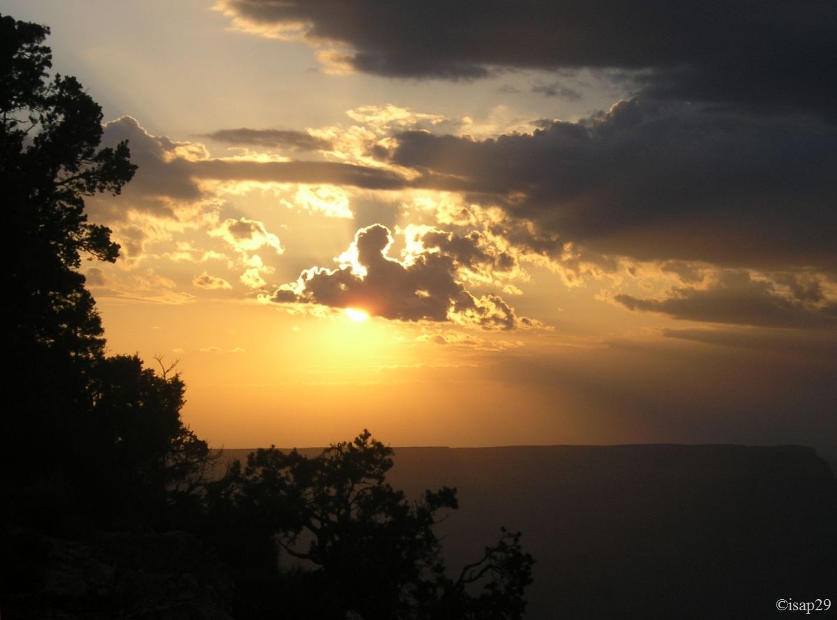
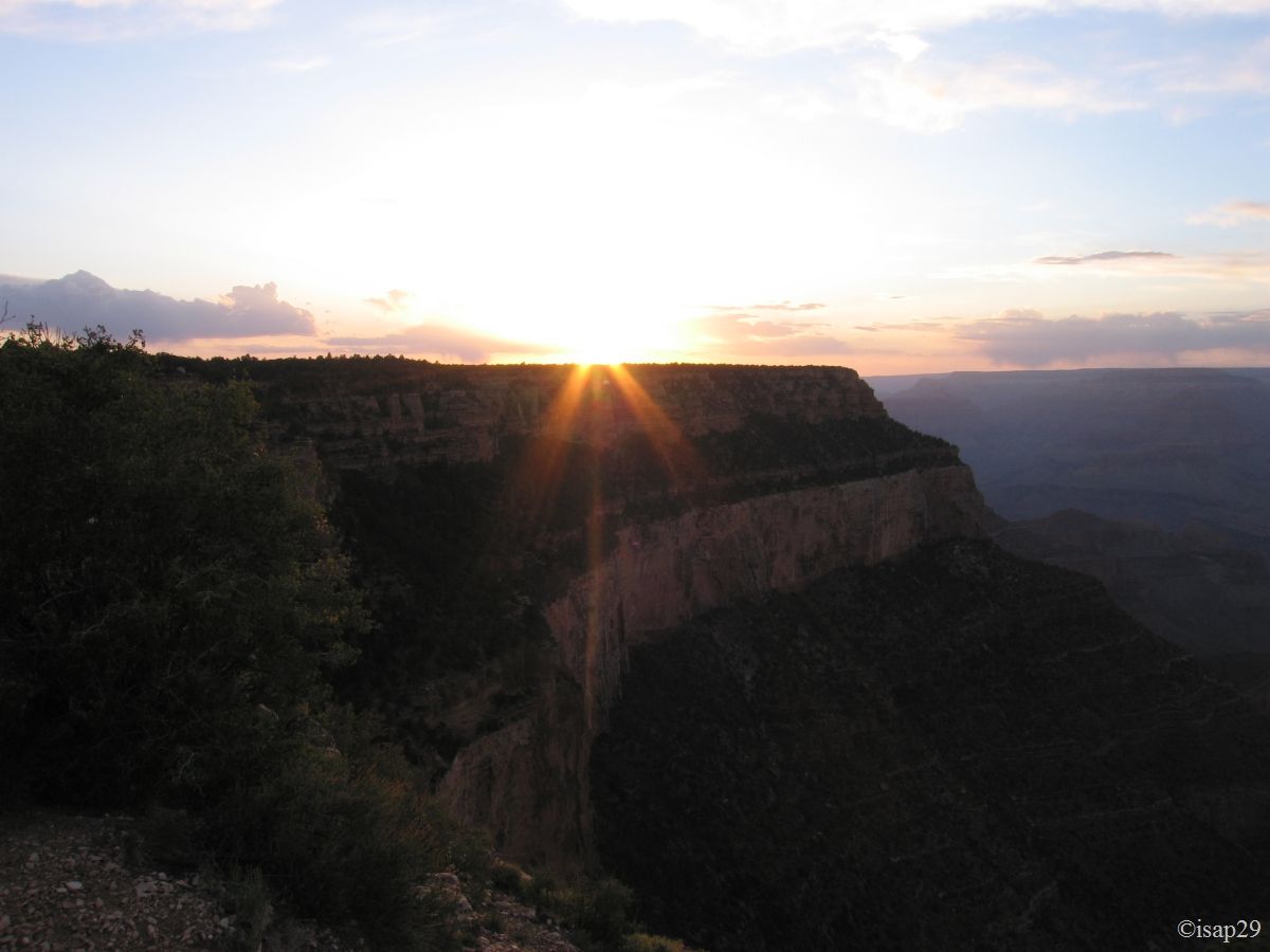
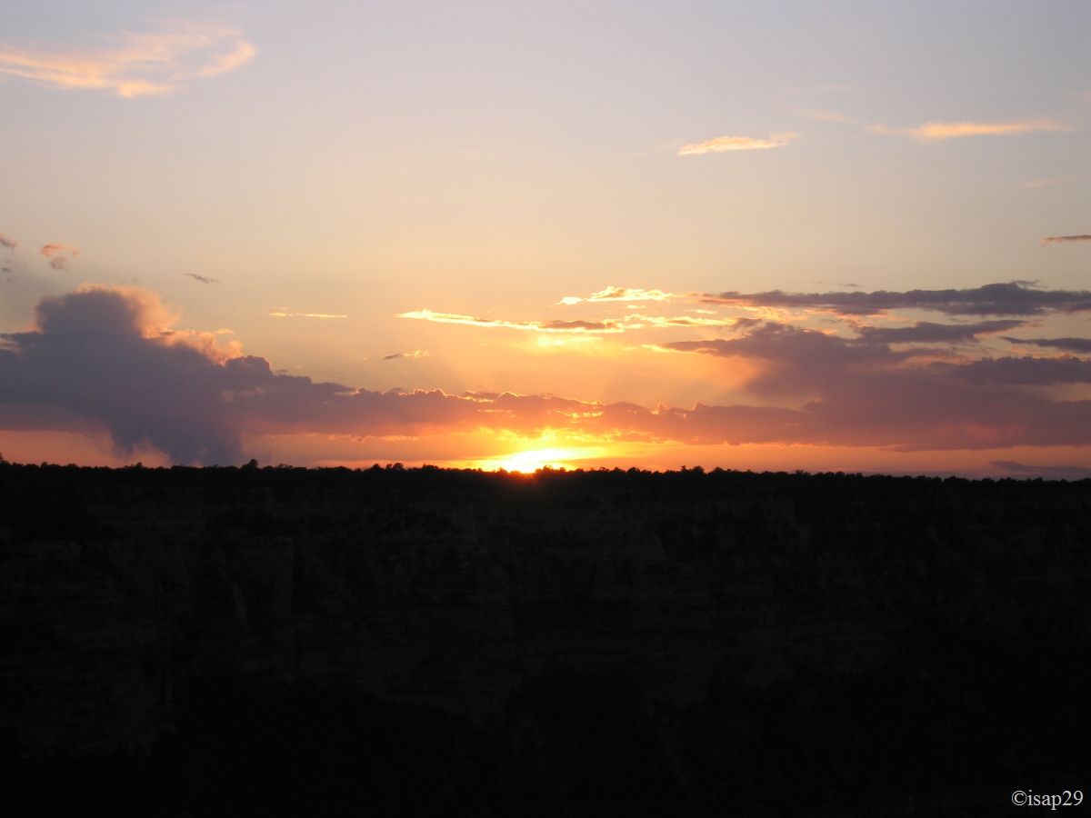
Around 6:30 pm (afternoon lost so no descent into the canyon  ), we go to Shoshone Point (discovered
on ouestusa.fr) for sunset. This is very easy to find (1.3 mile east past the junction of Yaki Point) but not indicated; easy parking and rather short
hike (2 miles back and forth) and we arrive at the edge of the canyon.
), we go to Shoshone Point (discovered
on ouestusa.fr) for sunset. This is very easy to find (1.3 mile east past the junction of Yaki Point) but not indicated; easy parking and rather short
hike (2 miles back and forth) and we arrive at the edge of the canyon.
There is nobody; what a change from yesterday evening at Yavapai!
However, a moment later, two people arrived and are surprised to find us there: "But how did you find this place?" ask a voice in French but with a non-American accent. After exchanging a few words in the language of Moliere (French language), she is a German living in the U.S. and her American friend, living in Flagstaff. The photo shoot ended, the sun having disappeared, we share the cup of friendship with some Australian wine they had brought. Magic moment when unknown persons can communion together in front of these fabulous scenery!
.jpg)
Shoshone Point (6 photos)
Back to camp, dinner and sleep at 10 pm. It was a long day of sightseeing and emotions  .
.
Monday, May 25
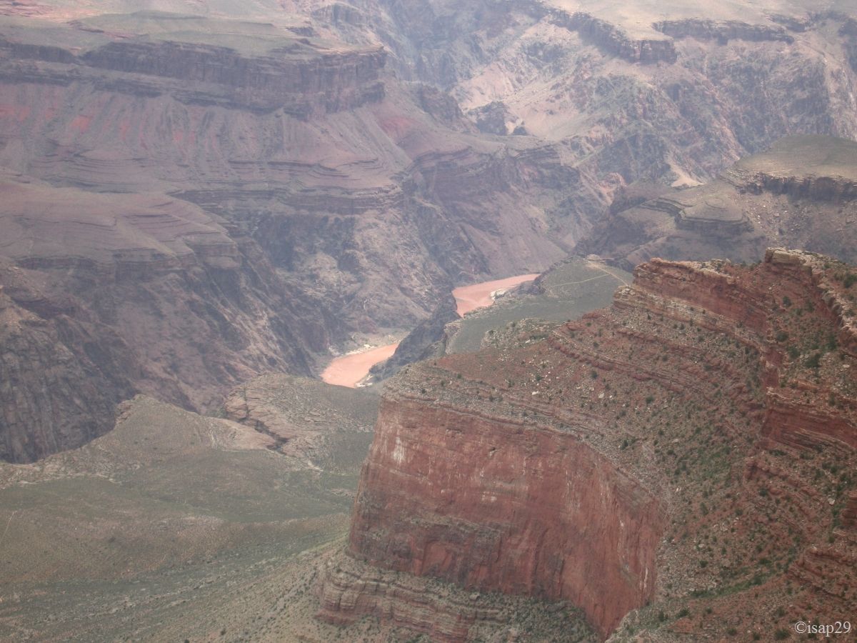
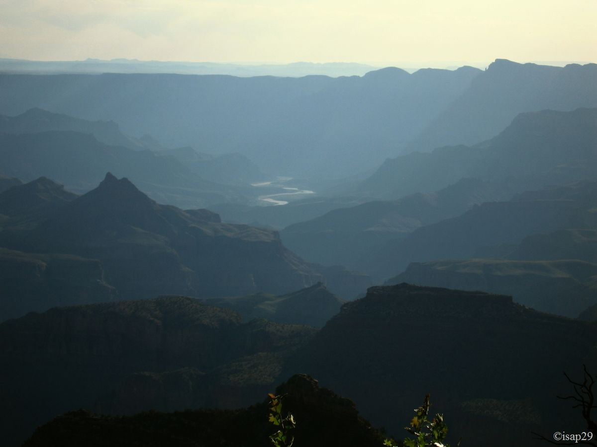
Waking at 5 am, it is 45 °F and the weather is clear with some small clouds. Departure from camp around 6:20 for our last pictures of the Grand Canyon South Rim: Grandview Point and Moran Point with, at this last stop, a beautiful view on Colorado River.
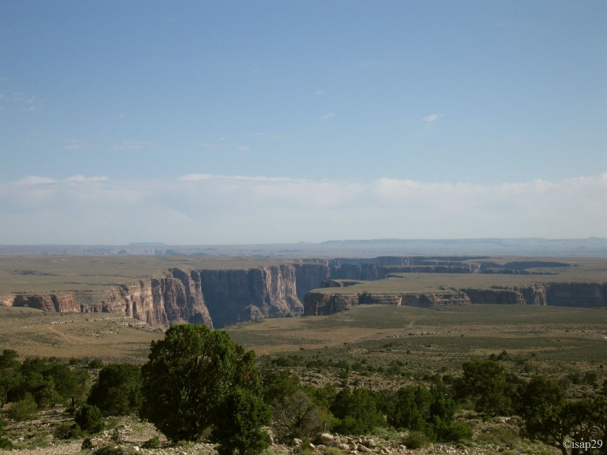
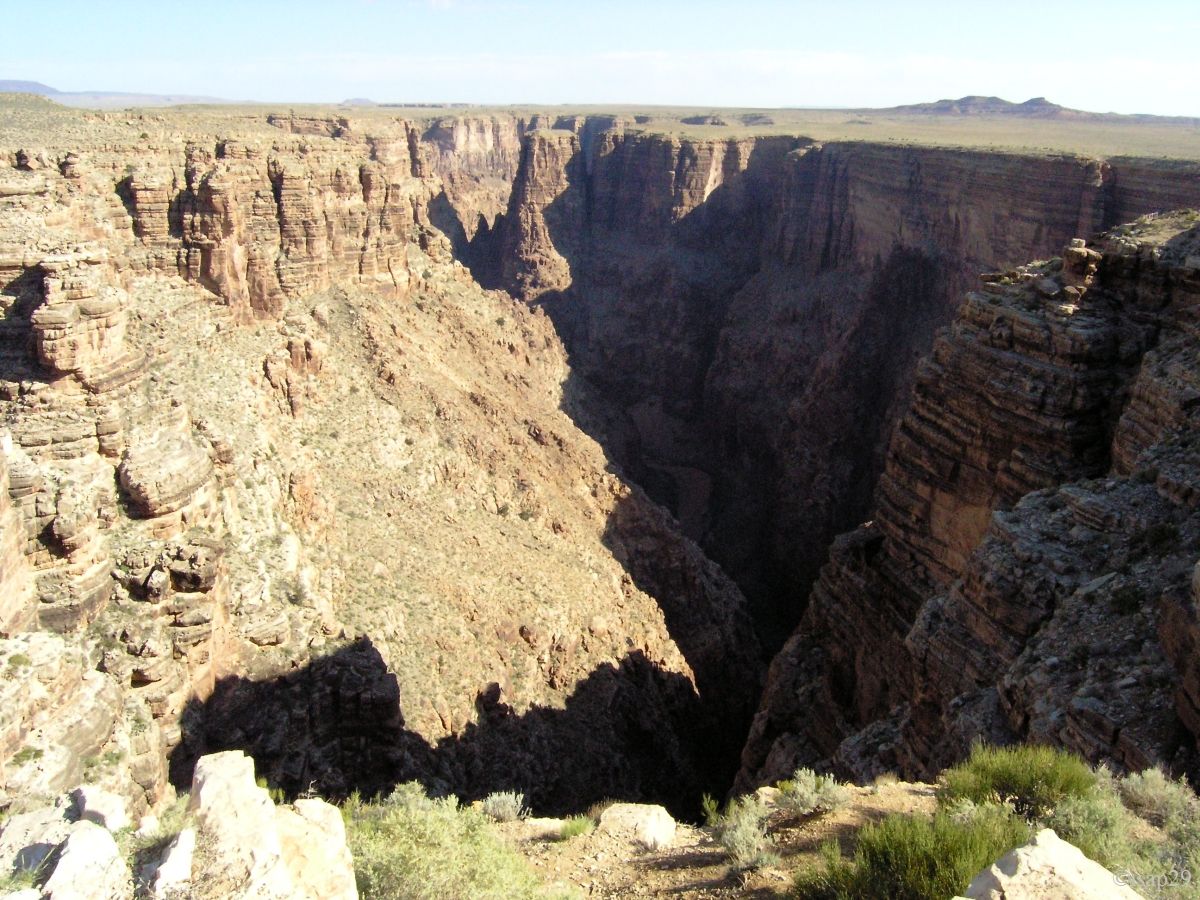
While leaving the Kaibab Forest, we make a short stop on the "Little Colorado" in a rather dirty place.
_B-18_gamma0-7.jpg)
.jpg)
.jpg)
_B-21.jpg)
Grand Canyon - Desert View (14 photos)
